
In the 1990s, on the central coast of British Columbia, the Haisla First Nation faced threats of industrial logging of 800,000 forested acres (324 hectares) in their unceded territory known as the Kitlope — a landscape filled with abundant wild salmon and trees more than 800 years old.
As word of the threat spread beyond British Columbia, people from all walks of life joined the Haisla’s campaign to protect their homeland. One of the leaders of the campaign, Xenaksiala/Haisla First Nation elder Wa’xaid, Cecil Paul, envisioned a supernatural or magic canoe where everyone could work together to save the Kitlope.
The more people that came, the bigger the canoe grew.
“It is a magical canoe because there is room for everyone who wants to come into it to paddle together,” he said. “The currents against it are very strong, but I believe we can reach that destination and this is the reason for our survival.”
“The more people that came, the bigger the canoe grew.”
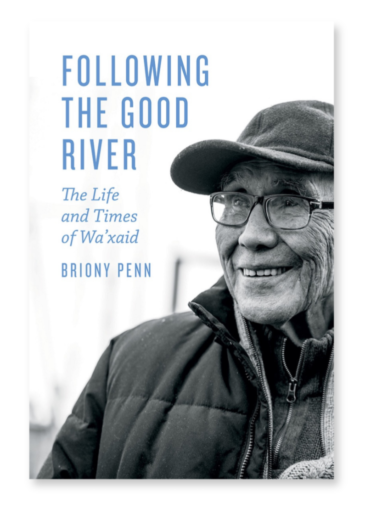
In 2019, Cecil Paul and author Briony Penn — based in Salt Spring Island and who had known of and worked with Paul for over 30 years — prepared a short book together, Stories from the Magic Canoe of Wa’xaid, published by Rocky Mountain Books. The book was told through Paul’s words and meticulously transcribed and footnoted with historical context notes by Penn.
Penn would go on to write a full biography of Paul’s life, Following the Good River. To get a full sense of Magic Canoe’s origins, please enjoy this adapted excerpt from Following the Good River.
The Place of My Birth: ‘They Call It the Kitlope’
Cecil Paul
My name is Wa’xaid, given to me by my people. Wa is “the river”; Xaid is “good” — good river. Sometimes the river is not good. I am a Xenaksiala; I am from the Killer Whale Clan. I would like to walk with you in Xenaksiala lands. Where I will take you is the place of my birth. They call it the Kitlope. It is called Xesdu’wäxw (Huschduwaschdu) for the “blue, milky, glacial water.” Our destination is what I would like to talk about, and a boat — I call it my Magic Canoe. It is a magical canoe because there is room for everyone who wants to come into it to paddle together. The currents against it are very strong, but I believe we can reach that destination, and this is the reason for our survival.
When you leave Kitamaat, this is Haisla Land, you go out to — they call it — Gardner Canal. You go into Gardner, and Crab River is where our boundary line was before the amalgamation of the Xenaksiala and the Haisla. Haisla and Xenaksiala share the same language, with a few word differences. Our language is close to the language family of River’s Inlet. You can get the Haisla history from Gordon Robinson.
When I bring the boat into Xenaksiala land, the tide will bring us through. There is a story for that. From Crab River we enter the Kitlope Valley. The Kitlope has many, many rooms, many doors — there is a lot of history going up to Kitlope Lake. Kitlope Lake, if we manage to journey that far, it is what I call the cathedral — a spiritual place. It is quiet. I think if you experience something when we get there, our people say that you will not leave that place unchanged. You cannot leave the way that you went in. Something touches you. Something grabs within you that you never identified as yours, but something in there reveals a little of who we are.
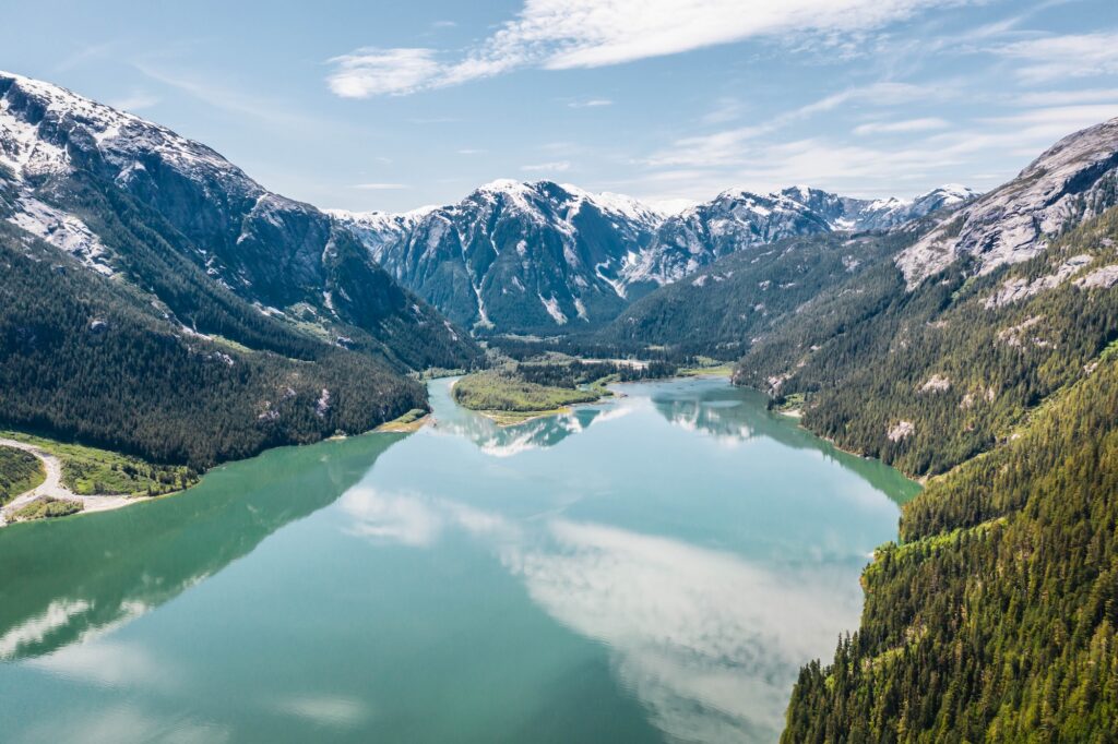
“Ice-capped mountains tower above this lake and for that reason the Xenaksiala call it Ka-ous. The closest Cecil can come to translating that word into English is ‘cathedral.’”
Briony Penn
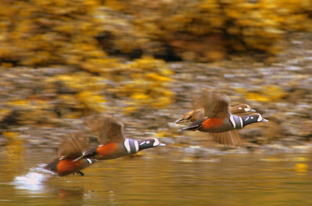
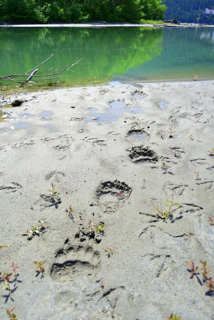
When we get to the Kitlope, I am going to ask you to wash your eyes. Our story says that though you may have 20/20 vision or glasses that improve your vision, we are still blind to lots of things. We are blind to Mother Earth. When you bathe your eyes in the artery of Mother Earth that is so pure, it will improve your vision to see things. I will also ask you to wash your ears, so you could hear what goes on around you. So, I could hear you talk. I could hear the wind, and you could hear the birds and animals. If you have the patience to listen, to hear the songs of the birds early in the morning, all these things will be open to you.
We are so busy, we don’t have the time for all these beautiful things. If you have the willingness and courage to do that, you will see little things that you have never seen before. You will take a better look at your children, your grandchildren, your best friend. You’ll say, “Oh, I never saw that before.” To get that vision back — and when you get that back — you will be more kind to whoever comes in your path on this journey. There are many legends that we talk about to our children, and above all, the people around the universe that came with their love and compassion to save something that is known around the world — the largest unlogged temperate rainforest in the world.
Briony Penn
A few weeks after the proclamation of the colony of British Columbia, on August 2, 1858, a map was released from a printing house near Bloomsbury, London, defining the boundaries of the British Empire’s latest claim on global resources. Along the convoluted western coastal boundary, shaded in the rose red of empire, were drawn a dozen of the large fjords mapped, thanks to the cartographic brilliance of Captain George Vancouver. The largest and longest of these was Gardner Canal, a 320-kilometer (198-mile) inlet splitting off of Douglas Channel, giving the appearance of a crooked finger pointing to her majesty’s anticipated riches penetrating deep into what would become British Columbia. The blank portions of the map allude to the polite fiction of terra nullis.
Terra nullis is a doctrine of international law that Europeans used to assert sovereignty over lands. It means literally “empty land” and declares that no one owned the land before European claims. Riding along the upper part of the digit was the name Gardner, an easily read label given the length and horizontal orientation of that reach of the inlet, before its lazy southeastward turn to the heart of the colony.
Joseph Whidbey, who accompanied Vancouver on the HMS Discovery, explored the canal in one of the ship’s smaller boats. Vancouver describes B.C.’s longest inlet as “almost an entirely barren waste nearly destitute of wood and verdure and presenting to the eye one rude mass of almost naked rocks, rising into rugged mountains.” He names it after his former commander, Baron Alan Gardner, as a tribute, or not, given his lackluster review of the “canal.” Besides “Gardner” being an absentee namesake, “canal” was also a curious word to describe the largest fjord in the world. The sides of the canal are sheer granite rising 1,829 meters (6,000 feet) from the sea bottom, piled there by shifting tectonic plates, far removed from the more familiar colonial canal being dug by indentured Panamanian slaves into their own mud.
As Wa’xaid explains, the Xenaksiala and Haisla who have occupied and owned this land for millennia have always had their own maps — visual ones. The system of land ownership of their huge territory falls into logical units of mountain watersheds, or wa’wais, that need no survey instruments, just a fine eye for topography. Boundaries follow the tops of mountains around the different drainage basins of the rivers that flow into the Gardner. Every watershed has a name that corresponds to its steward. The owners have both control and responsibility handed down through their mother’s lineage. Each owner is bound by the nuyem, a code of stewardship that has detailed prescriptions for how the land, waters, and wildlife are to be harvested, shared, and respected. A bagwaiyas is a special place of abundance that is open to any Xenaksiala/Haisla person to harvest without special permission.
On the colonial map of British Columbia, there was no indication of the 54 wa’waises that occupy “the pointed finger.” Of the 14 wa’waises that pour into Gardner, the first is Crab River, which demarcates the beginning of the territory of the Xenaksiala people and the end of the Haisla wa’waises. Halfway along Gardner is the Kemano River, which is the wa’wais owned by Cecil Paul himself. It was also the official “reserve” of the Kitlope Band until 1948.
At the tip of the finger on the colonial map is a river called Kitlope, where Cecil was born in 1931 and mostly hidden until 1941, when, as he explains, the Indian agent rounded him up for residential school. That river flows into a lake, oval and luminescent with its milky-blue glacial water. Ice-capped mountains tower above this lake and for that reason the Xenaksiala call it Ka-ous. The closest Cecil can come to translating that word into English is “cathedral”; it gives people a sense of the beauty, peace, and awe you feel when you first enter the lake from the river.
Go Deeper:
- Purchase Following the Good River or Stories from the Magic Canoe of Wa’xaid.
- Watch a short interview with Cecil Paul.
- Donate to Magic Canoe to continue supporting Cecil Paul’s legacy.