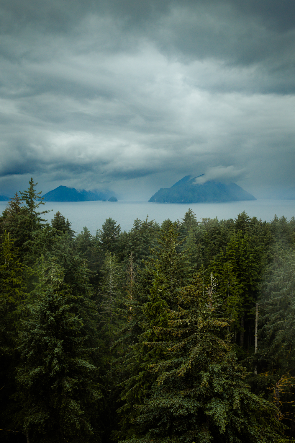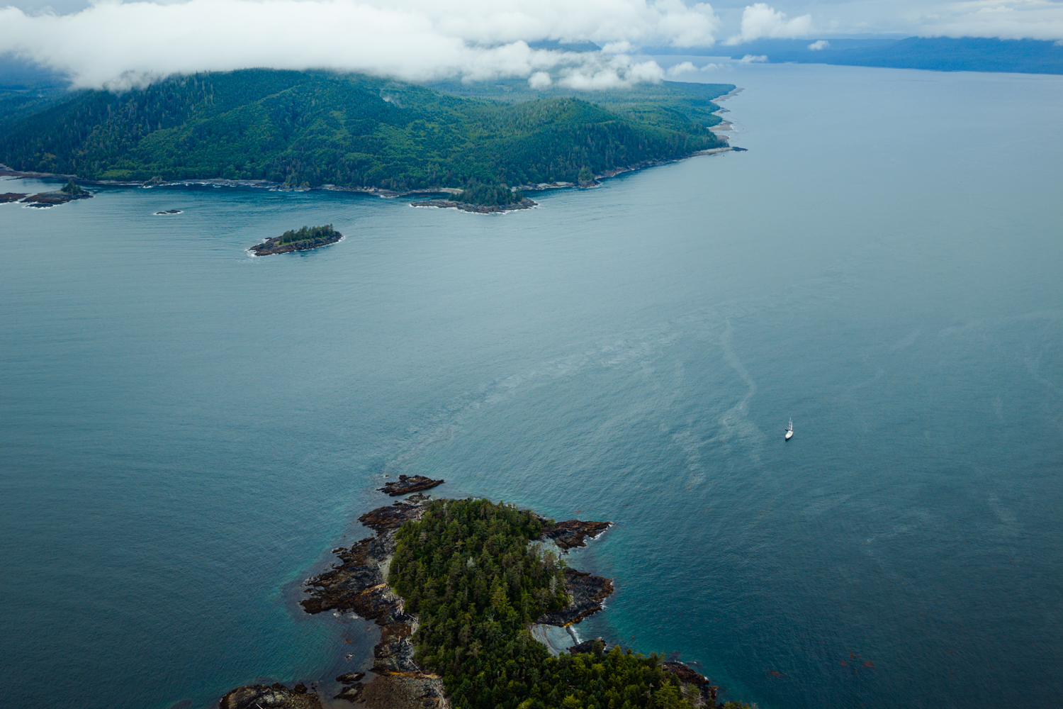

“A hundred miles into the Pacific, drenched in rain and wind and mist and sunlight, lie the islands known as Haida Gwaii.”
— Robert Bringhurst, A Story as Sharp as a Knife
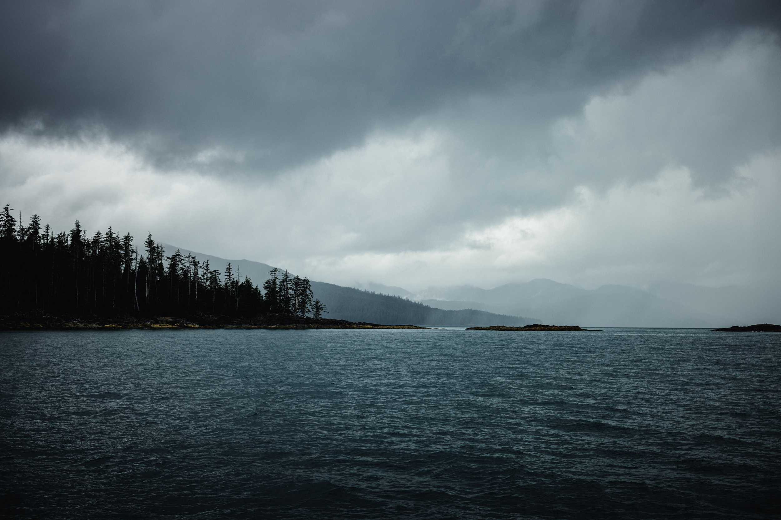
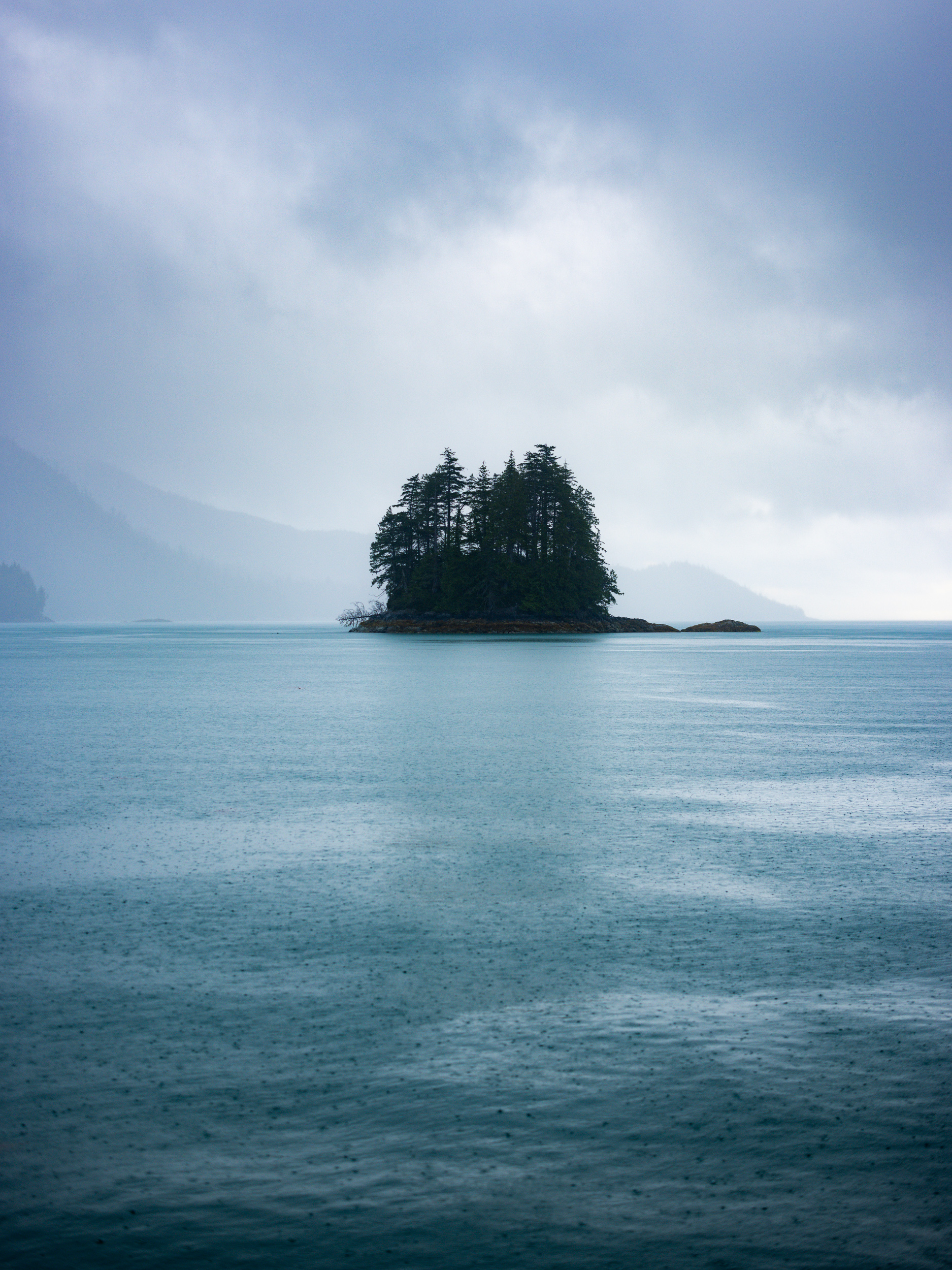
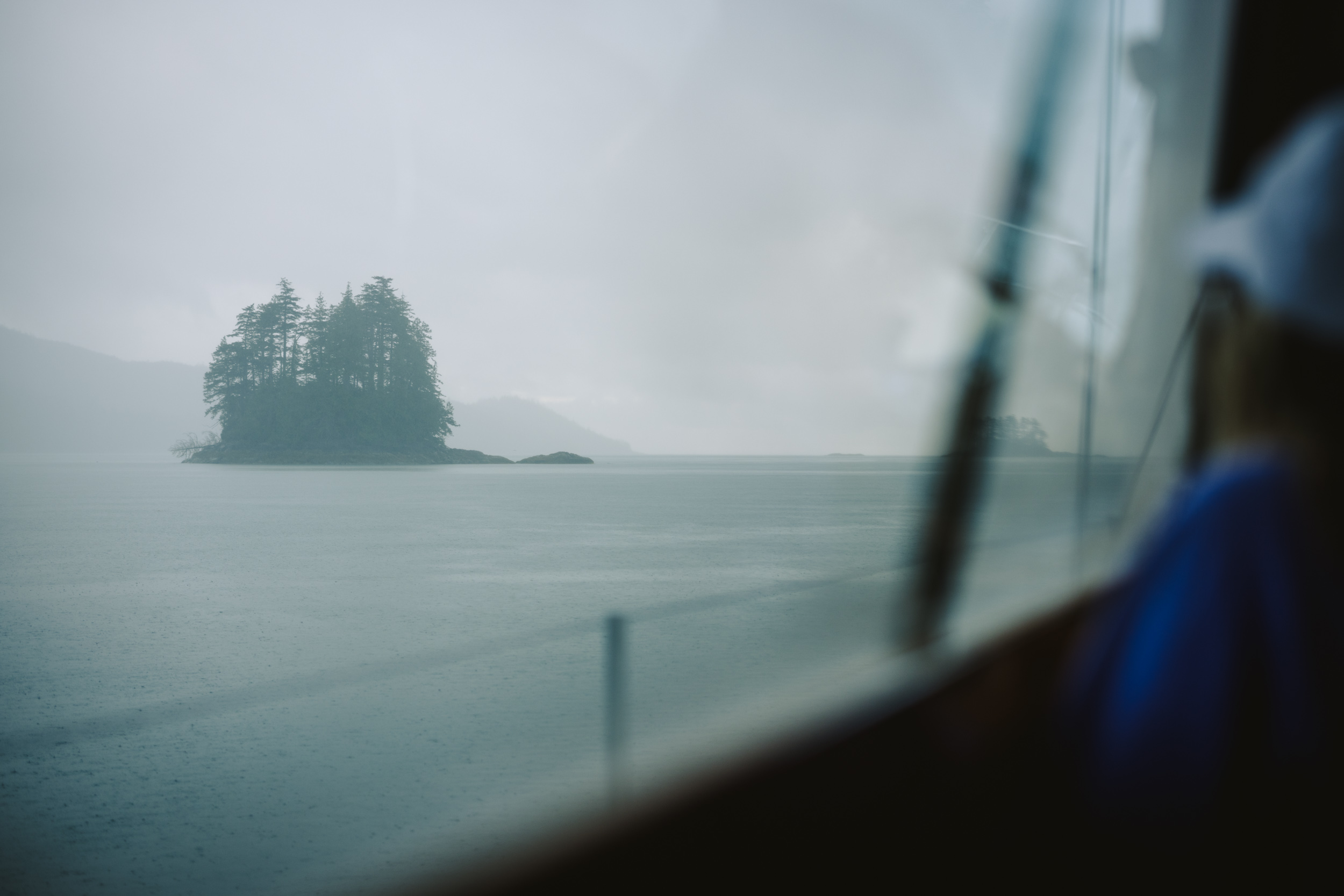
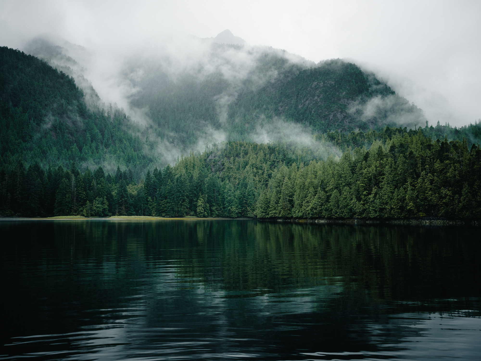
It had been eight years since I last touched Haida soil. Fatherhood. Marriage. Covid lockdowns. Monumental things have happened in the world and in my life since the summer of 2018. And yet, when I stepped off the plane in Sandspit and the cool breeze off Skidegate Inlet filled my lungs, it felt immediately familiar. A signature flat gray sky greeted me, while dark rain clouds loomed on the horizon. The weather juxtaposed my departure from Vancouver earlier in the day, where massive pyrocumulonimbus clouds from out of control wildfires could be seen as we climbed up over the Coast Mountains. Now in Haida Gwaii, I felt both relief and excitement for the adventure ahead.
Sign up for our newsletter to receive inspirational stories about people working to build a bioregional movement across Salmon Nation.
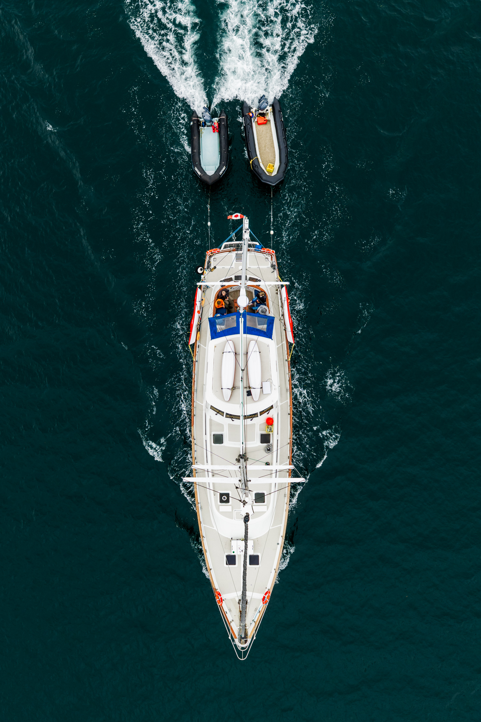
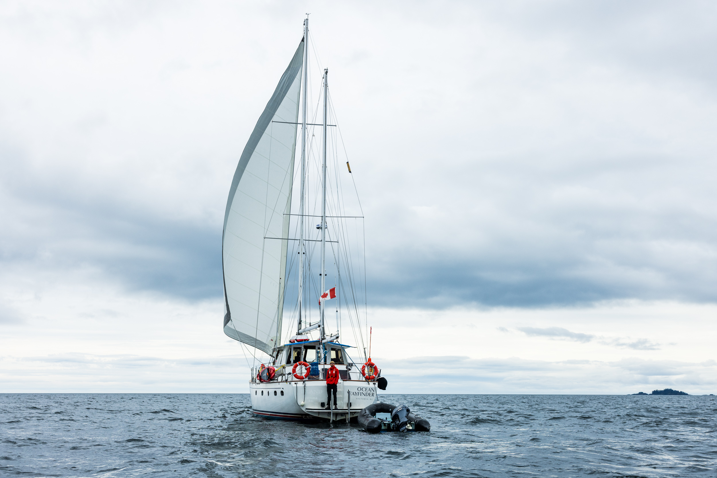
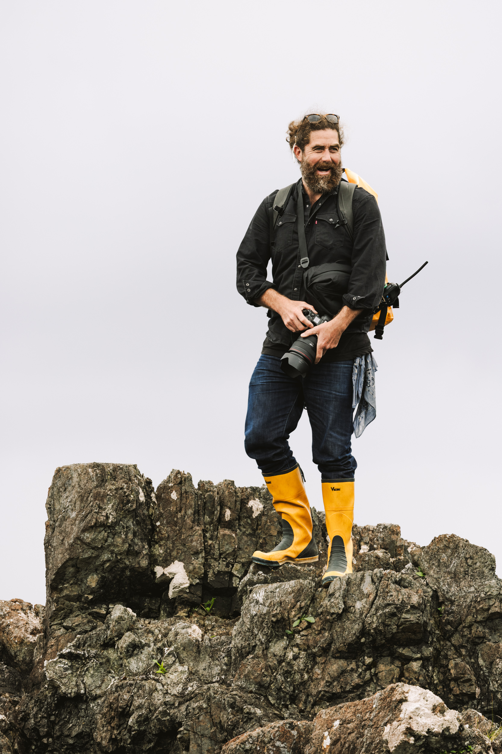
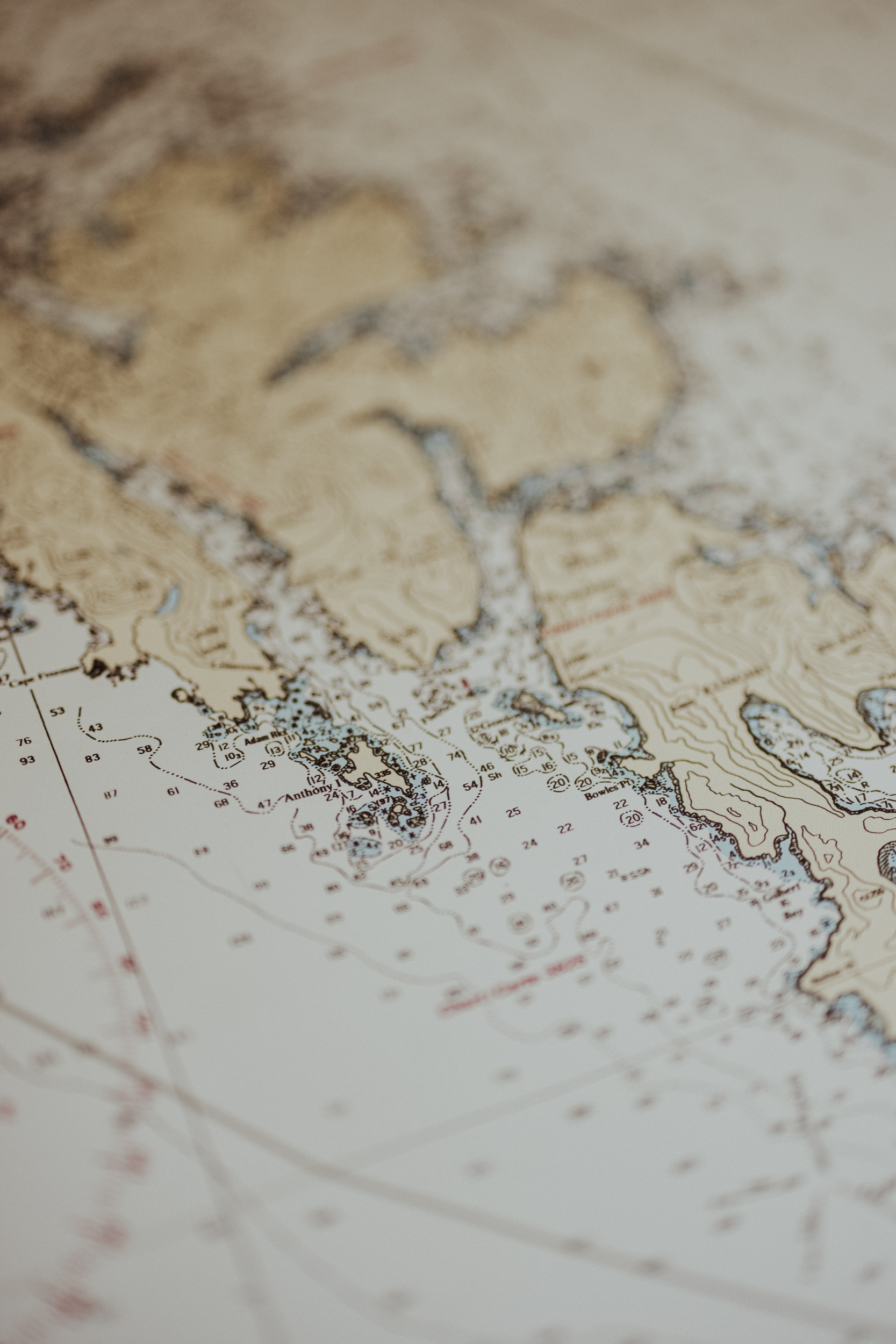
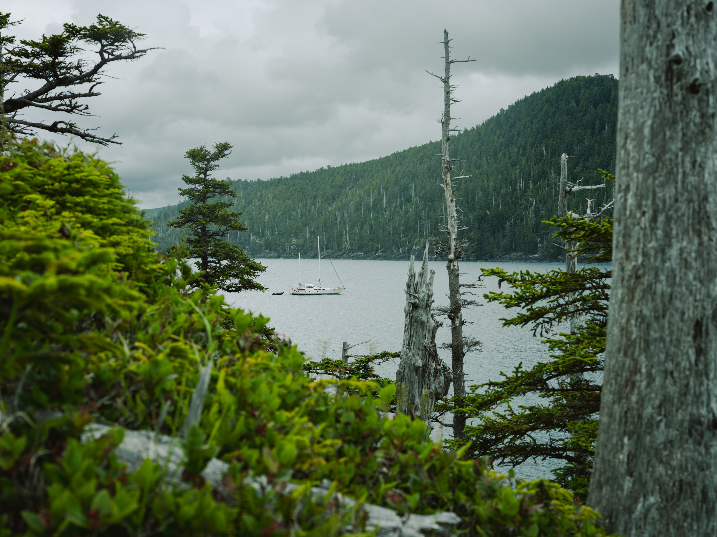
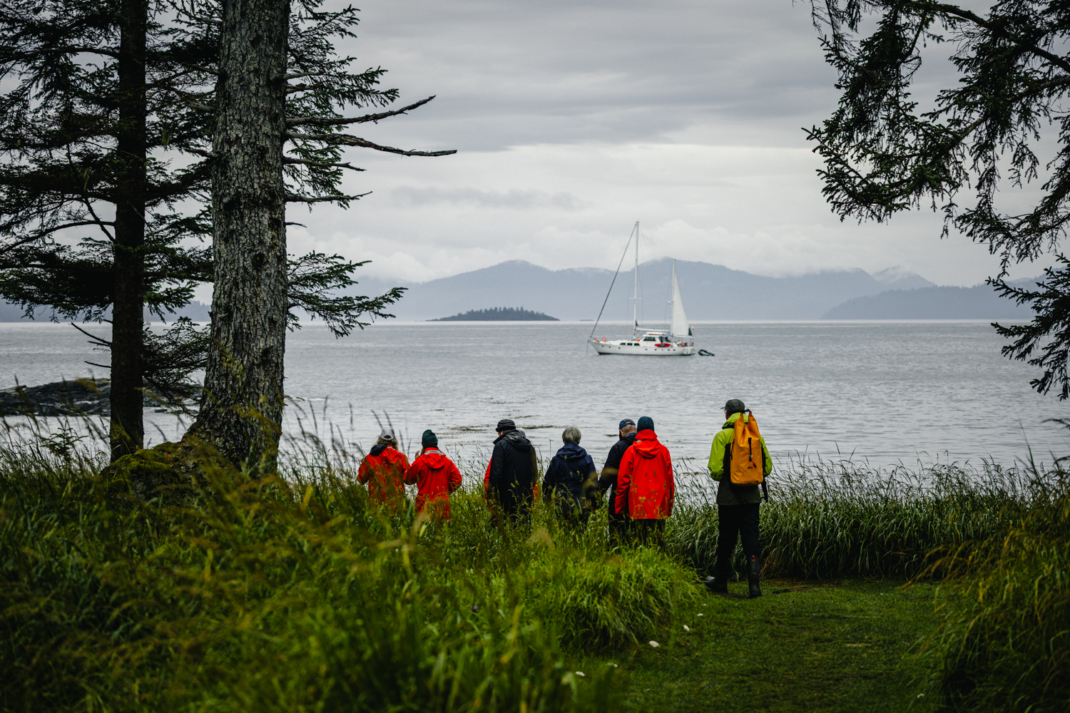
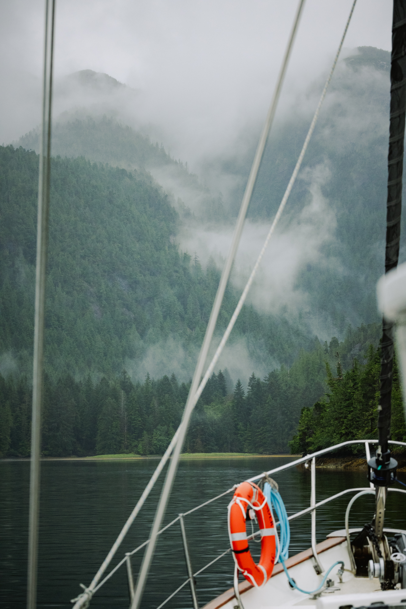
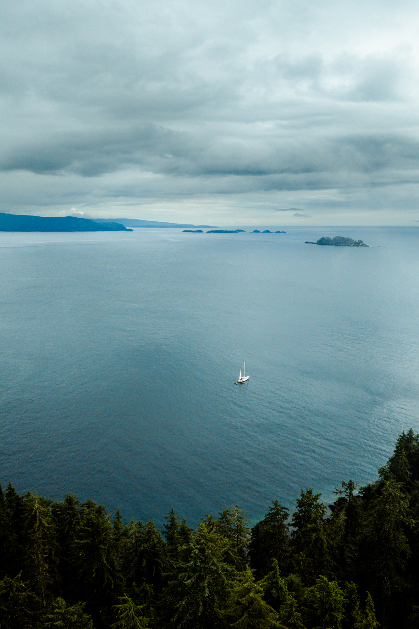
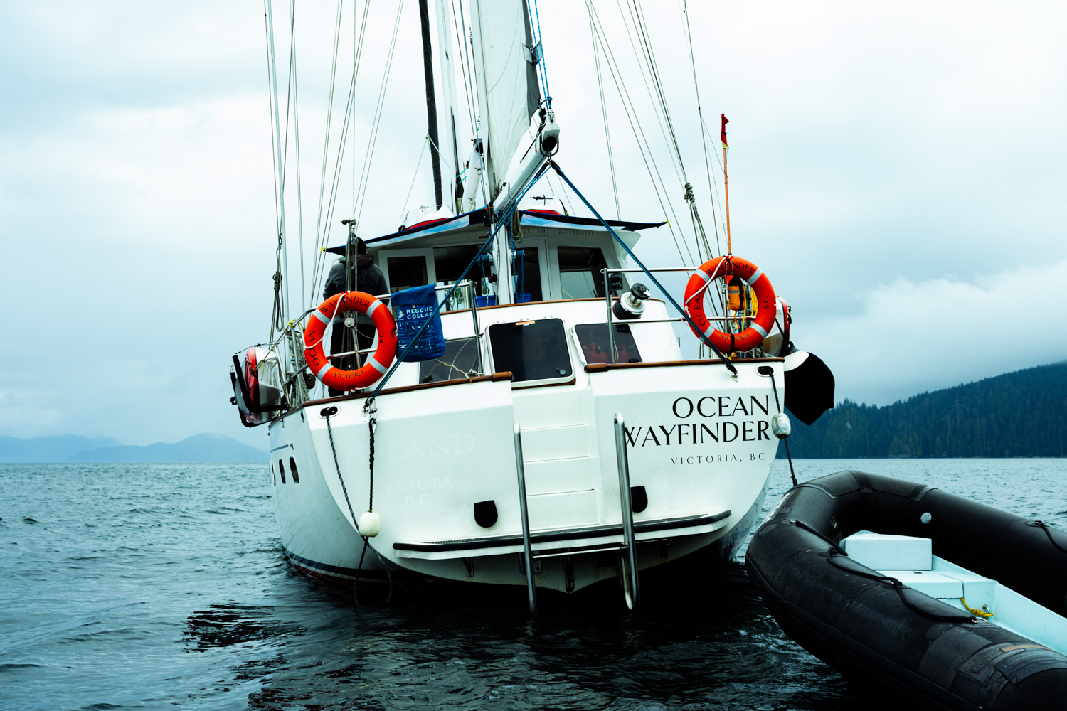
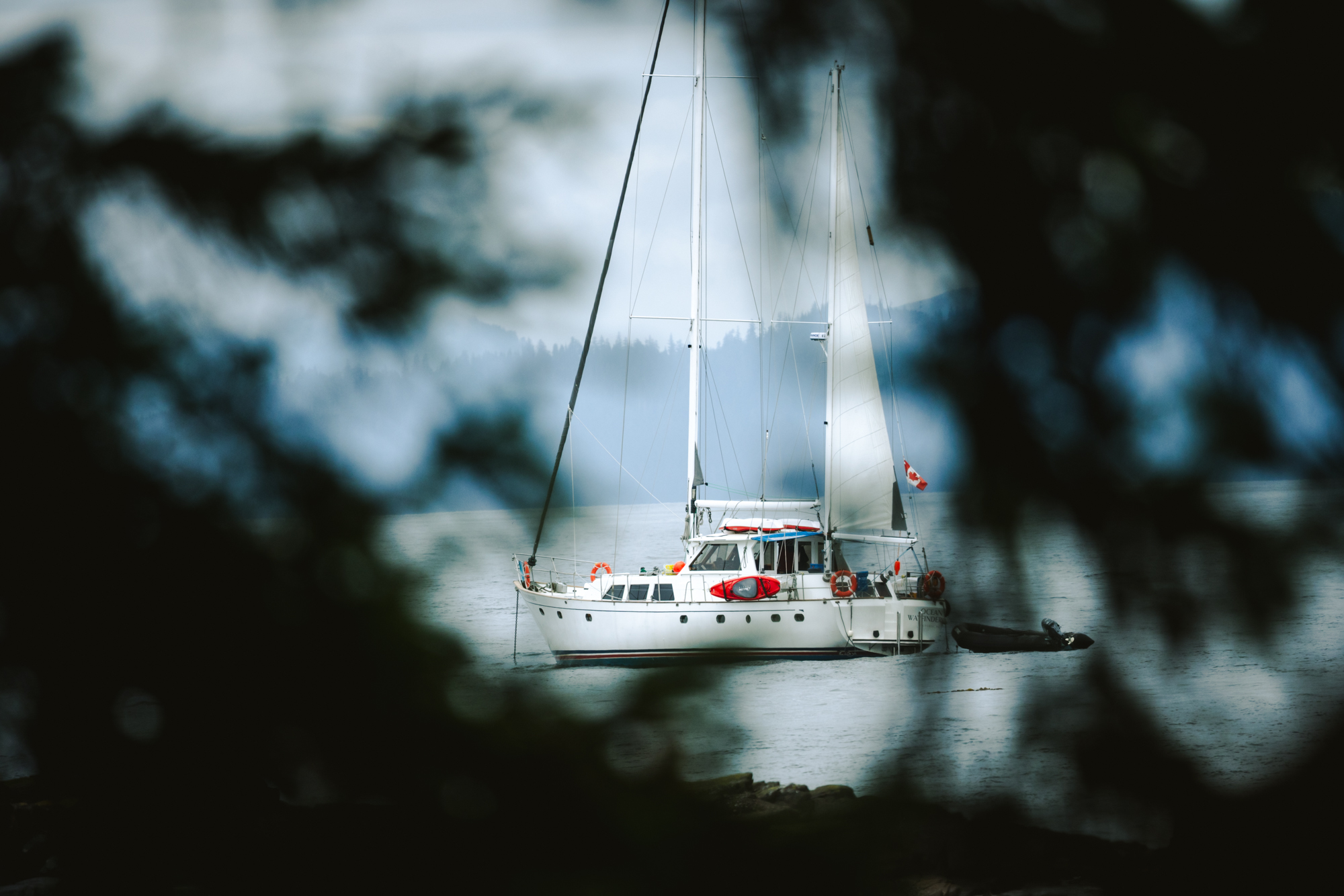
Like prior journeys to Haida Gwaii, I served as the shipboard photographer for Outer Shores Expeditions. My assignment was to document this voyage on their newest vessel, The Ocean Wayfinder. Navigating southern Haida Gwaii comes with no guarantees, given unpredictable weather and other challenges, but our primary objective was to travel nearly eighty nautical miles south from our launch at Moresby Camp to reach SGang Gwaay (Ninstints), a UNESCO World Heritage site. En route, our itinerary included exploring secluded inlets, wandering untouched beaches, and stops at Haida Watchmen sites including Tanu, K’uuna (Skedans), Gandll K’in Gwaayaay (Hot Springs Island), and Hlk’yah GawGa (Windy Bay).
“The strait is a malevolent weather factory. During winter storms, waves can reach 10-20m and expose the sea floor. The result is one of the most diabolically hostile environments that wind, sea, and land are capable of conjuring up.”
— John Vaillant, The Golden Spruce
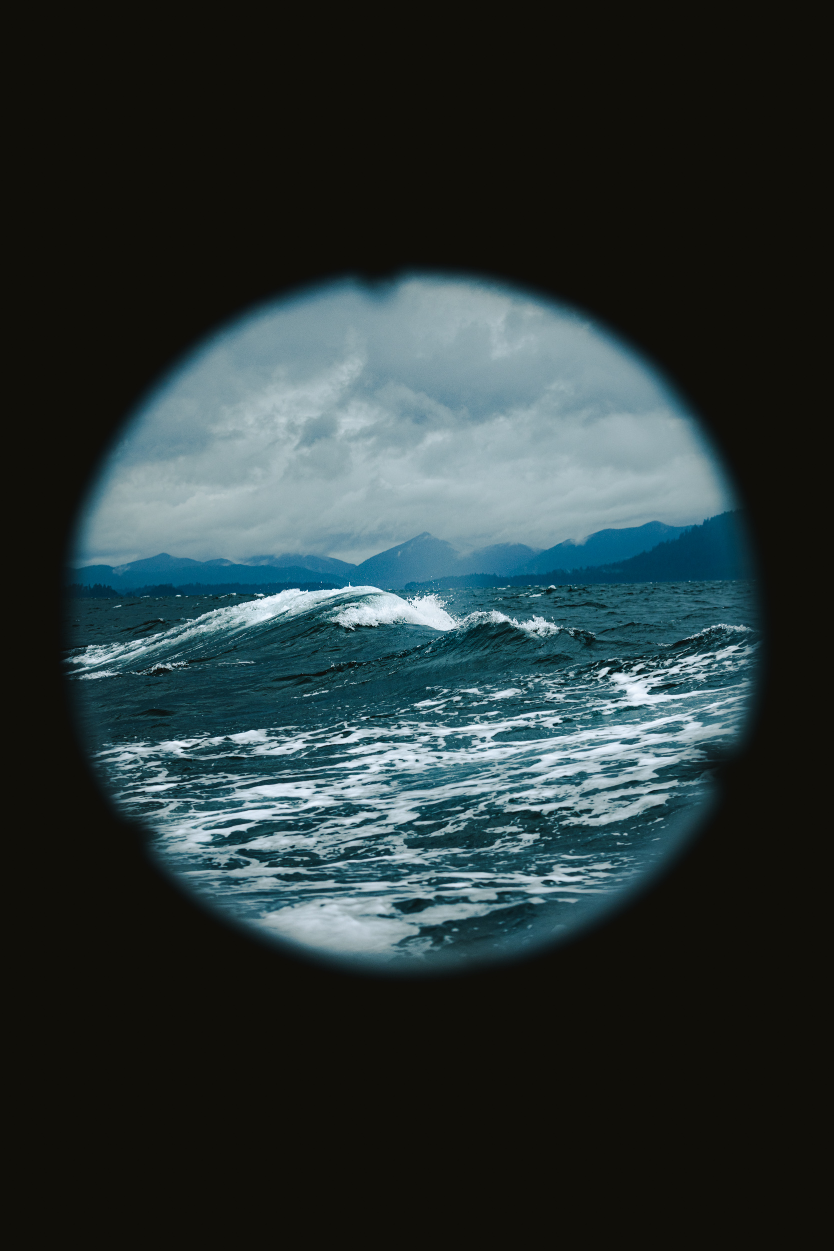
Traveling to Haida Gwaii is relatively straightforward, with daily flights connecting Vancouver and Sandspit. Reaching the remote southern islands, however, is an entirely different endeavor. Unconnected by roads or trails, this wilderness is accessible only by floatplane or sea. Guarding these waters is the Hecate Strait—a shallow, volatile body of water notorious among mariners for its diabolical, shallow-water seas and fierce, unpredictable weather. Here, sudden gale-force winds can turn calm waters into a harrowing expanse of breaking swells, making any passage a serious undertaking demanding utmost respect, even from seasoned crew. With only two to three thousand visitors reaching SGang Gwaay each year—mostly via zodiac or kayak—it remains a destination defined by purpose, reverence, and deliberate intent. You might not explicitly be searching for adventure, but it will probably find you here.
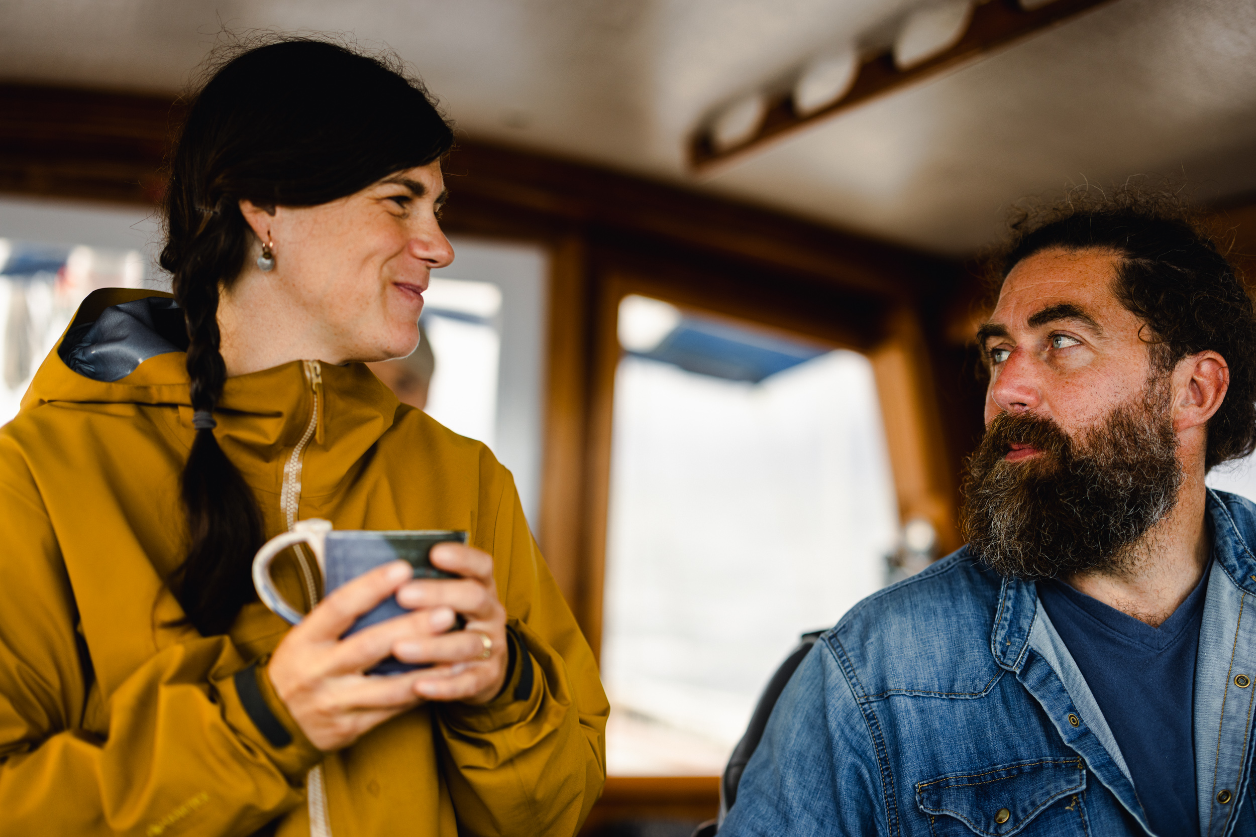
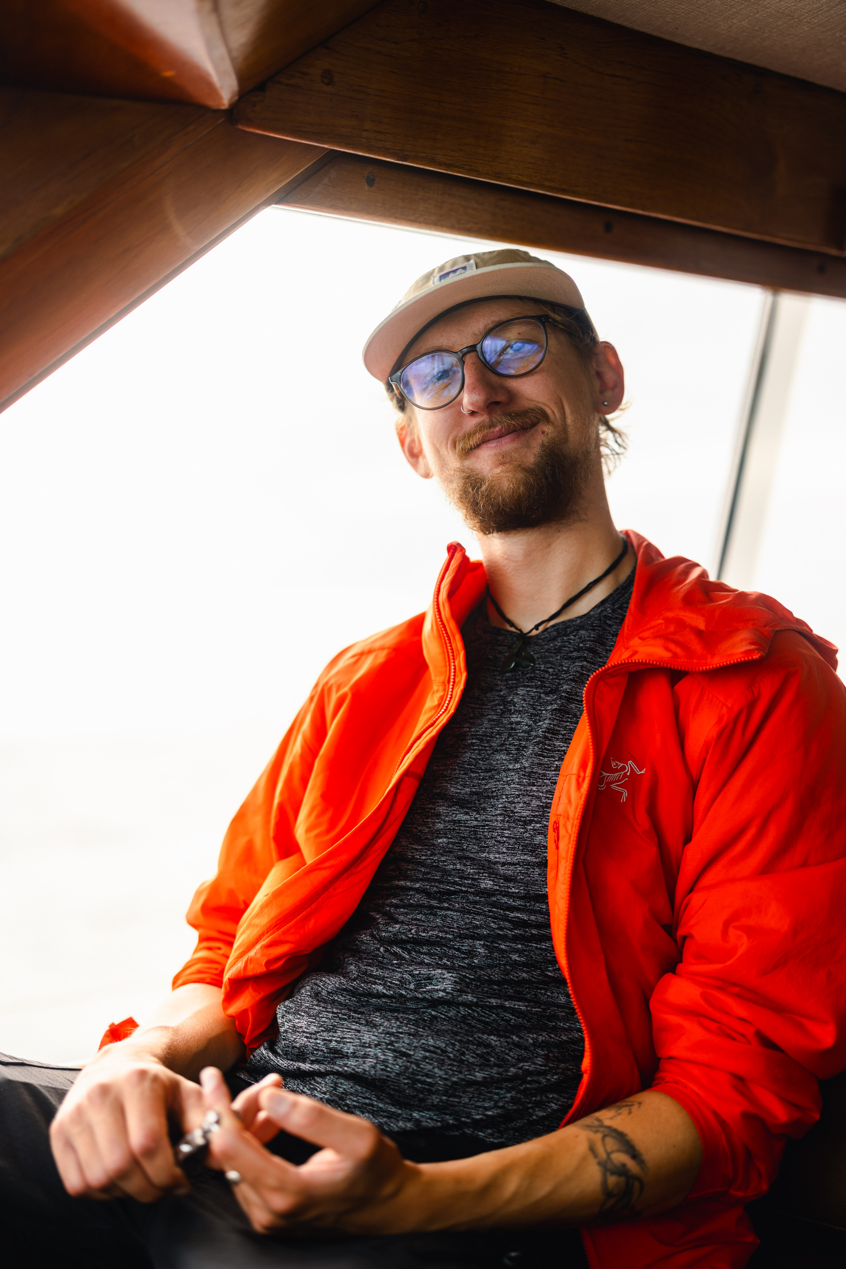
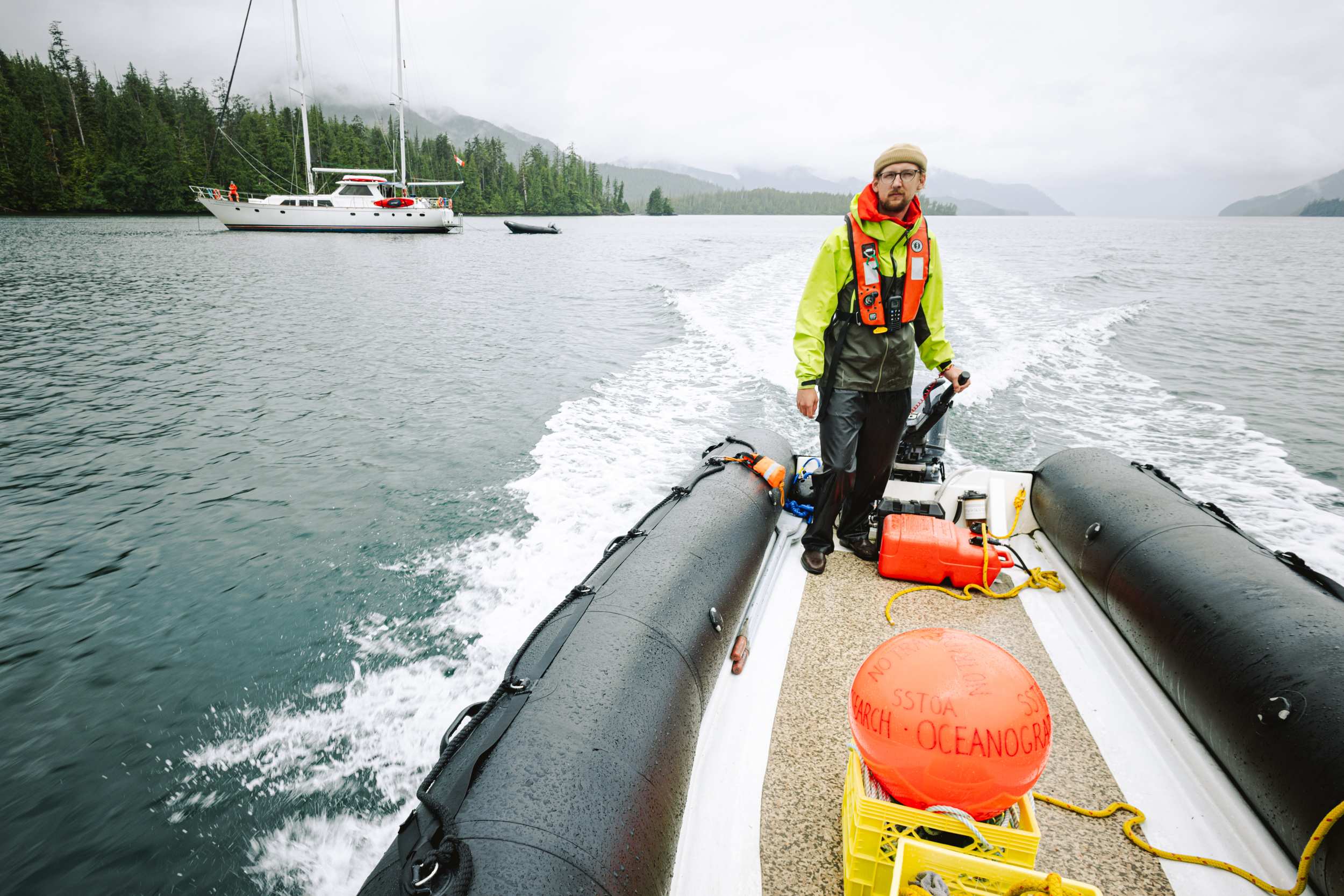
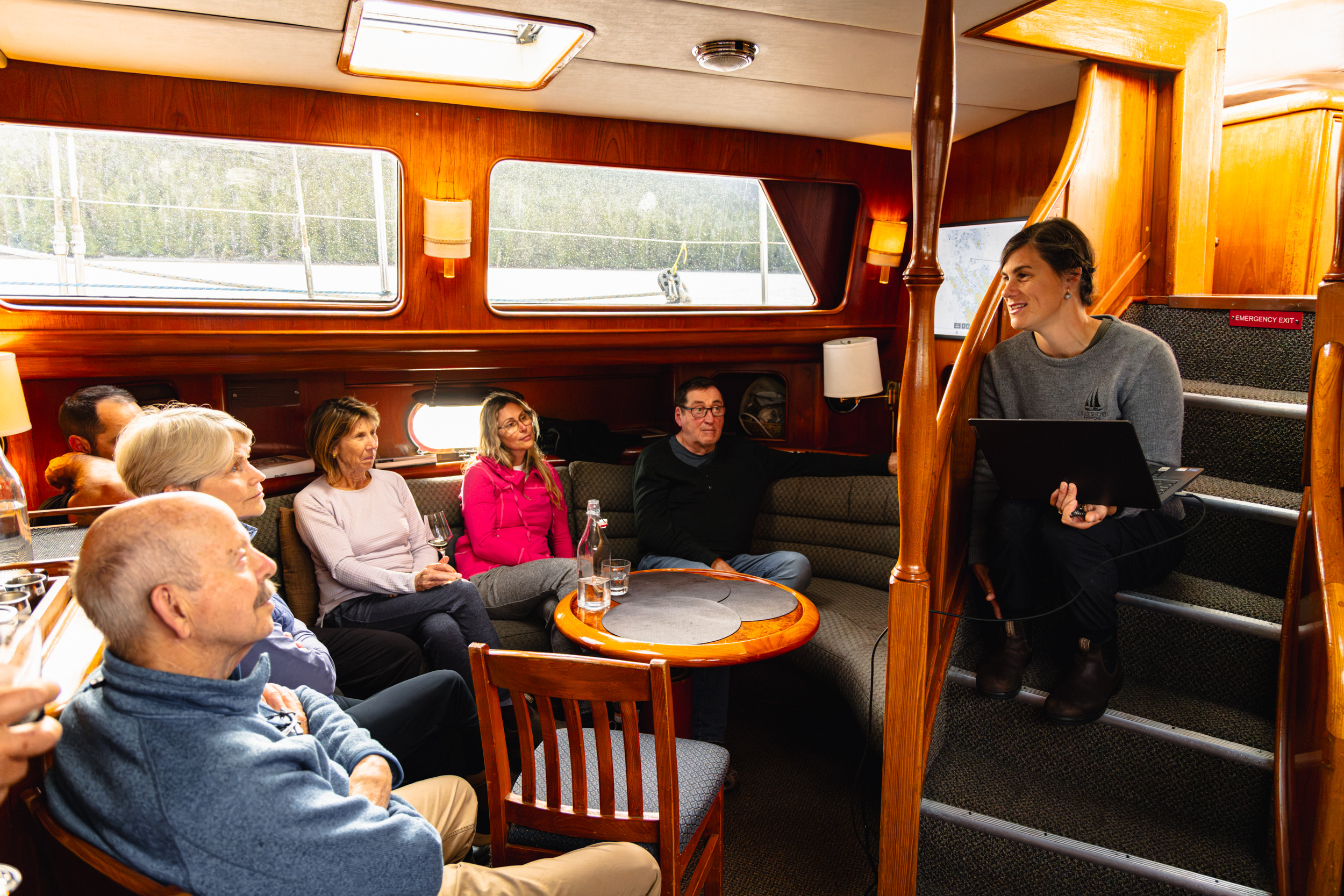
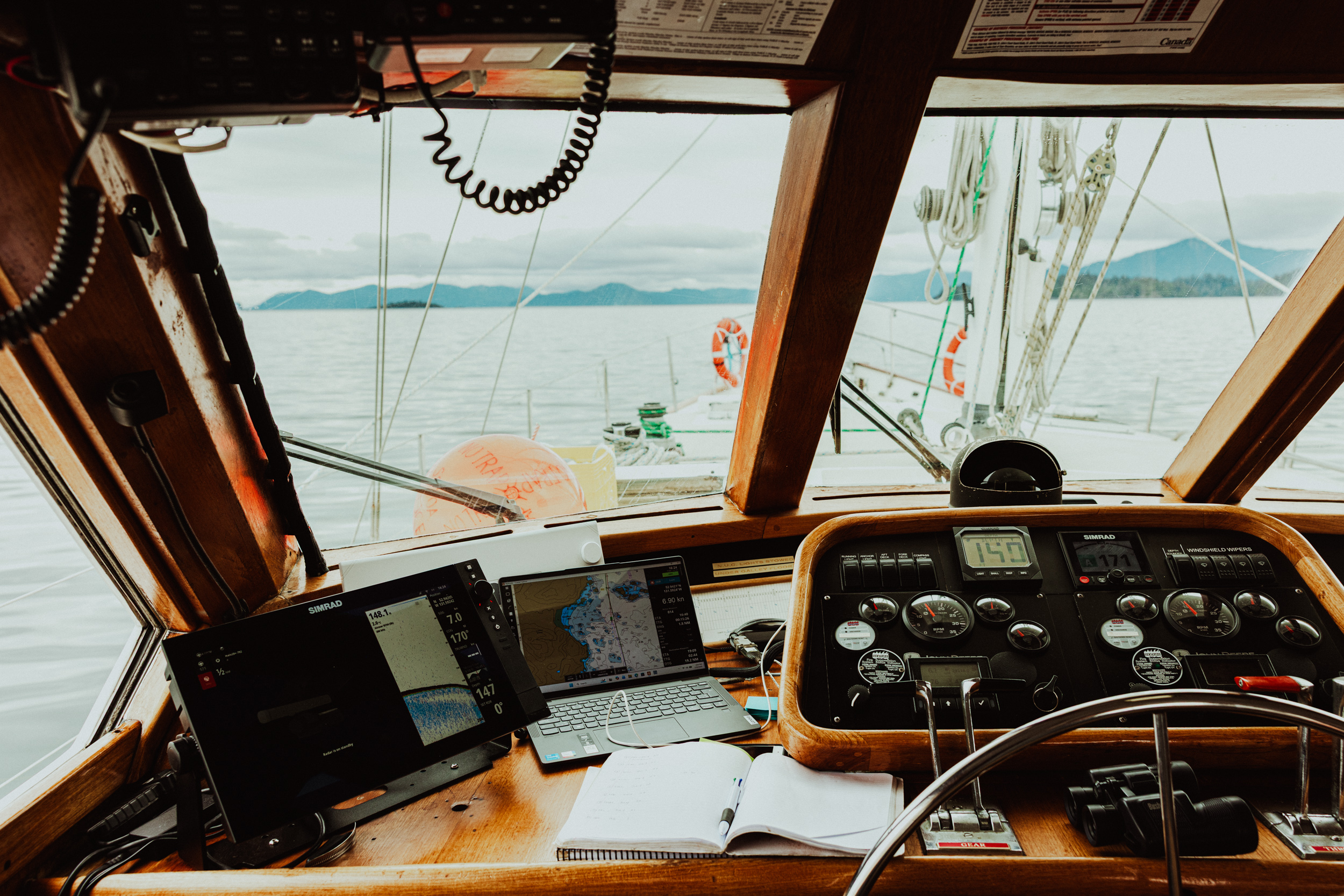
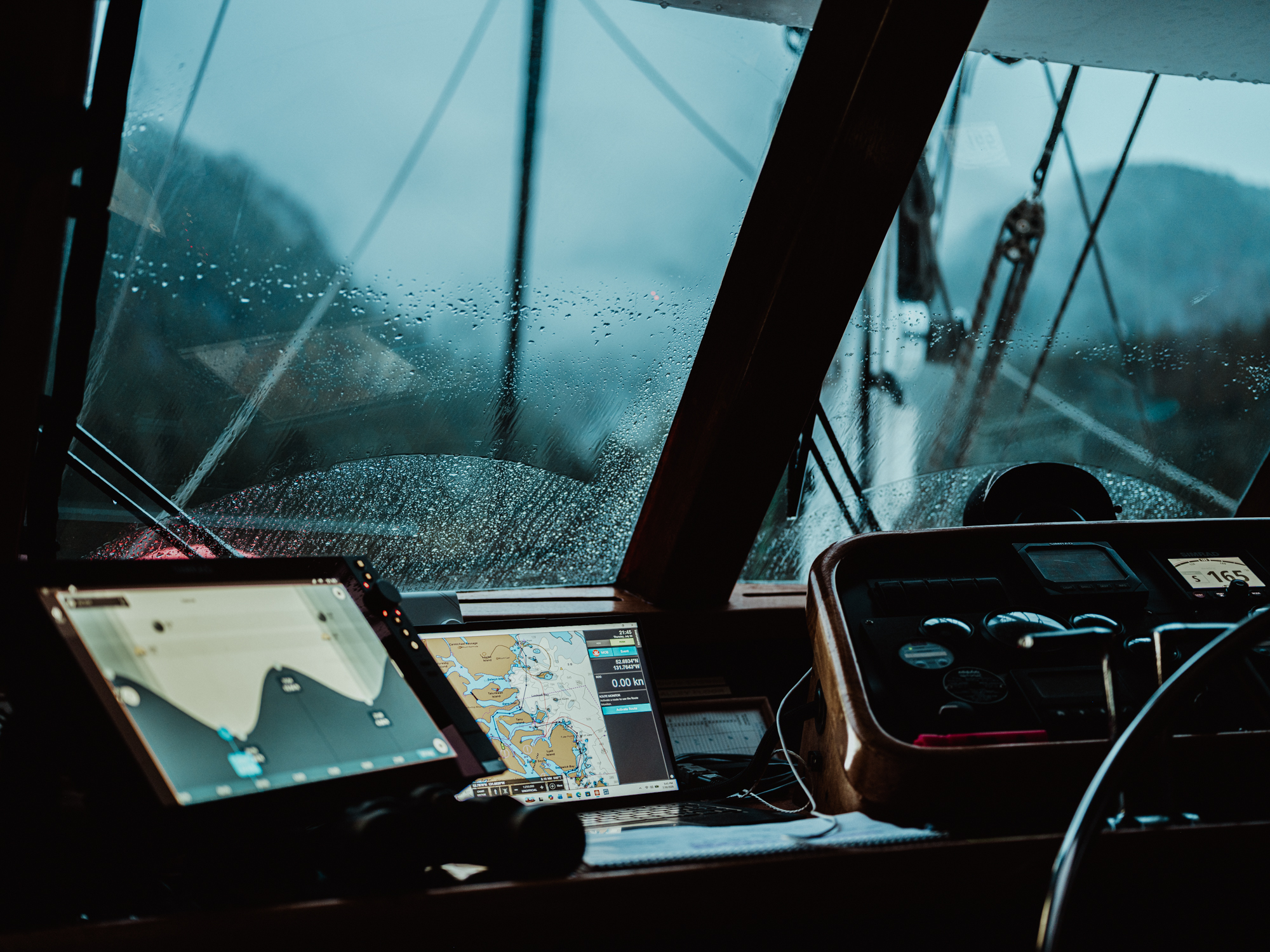
Navigating the remote waters of Southern Haida Gwaii demands an exceptionally skilled crew capable of ensuring the safety of both the vessel and its passengers. Fortunately, Outer Shores consistently excels in finding these types of remarkable people. Our captain for this expedition, Ashley Mackinnon, is a seasoned mariner who spent her formative years exploring the coastal waters and passages of the Saanich Inlet and the Southern Gulf Islands within the Salish Sea. Her seafaring career has taken her across the globe, including voyages to environments as extreme as Antarctica. Supported by knowledgeable crew members like Maurice Kasprowsky and Devon Carr, her steady presence and never-ending work ethic makes a journey of this scale feel remarkably secure. Although the surrounding ocean can induce hypothermia within minutes, and medical aid is hours away, the inherent risks never feel overwhelming. The crew always seems to balance their responsibilities—keeping guests happy, providing interesting naturalist guidance, and safety management with genuine passion and skill.
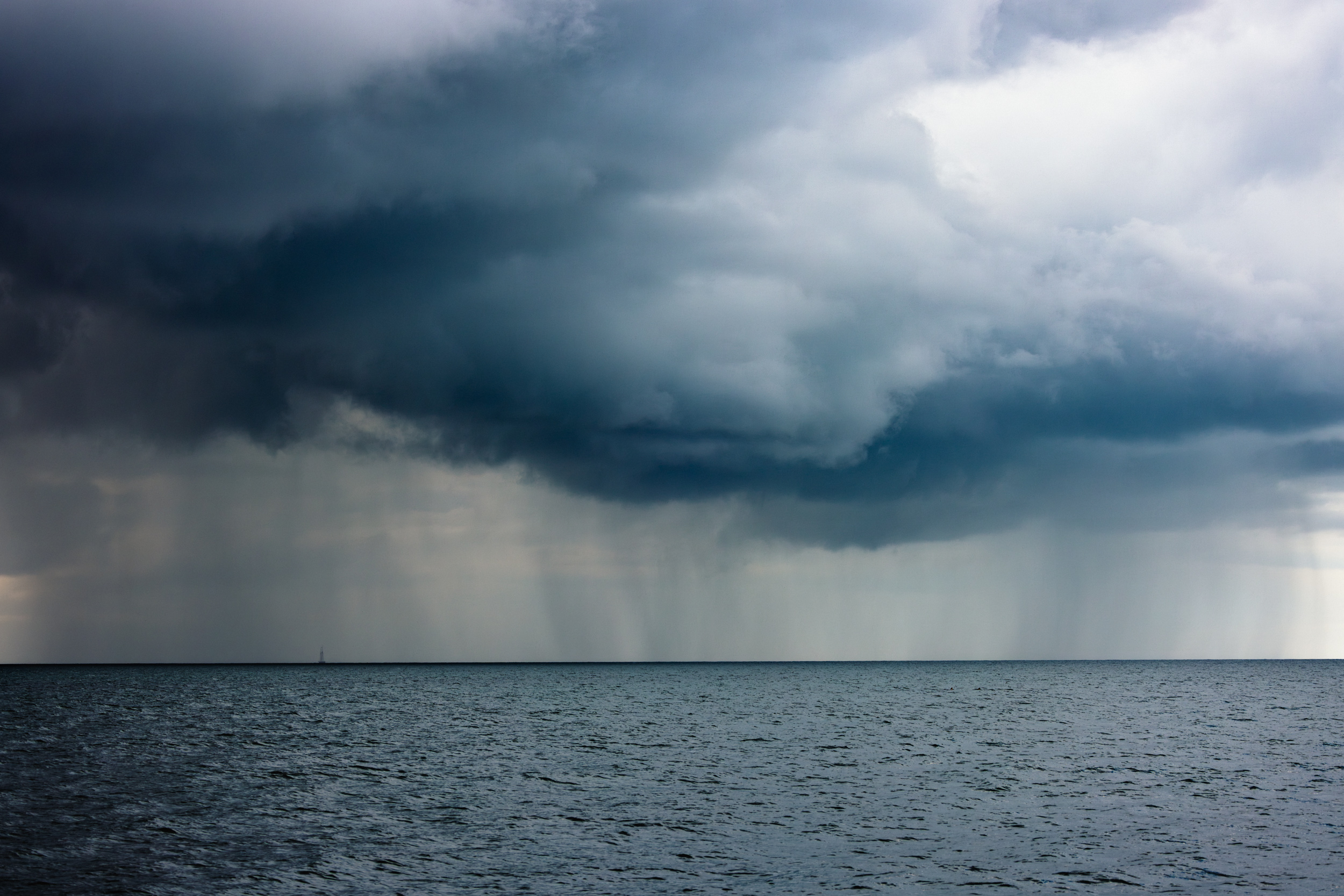
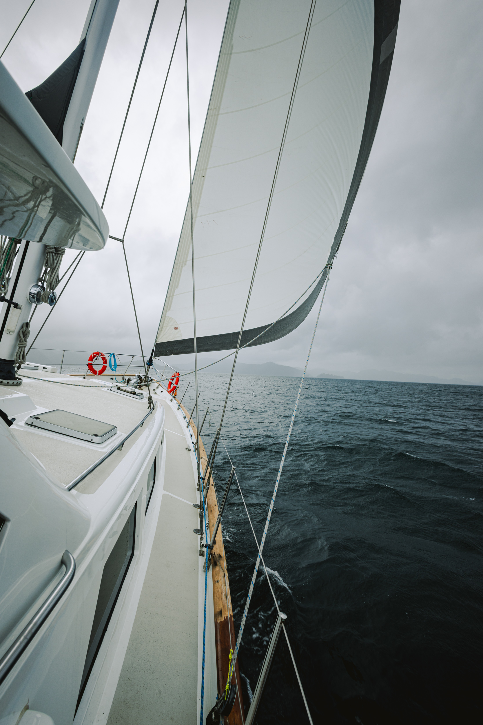
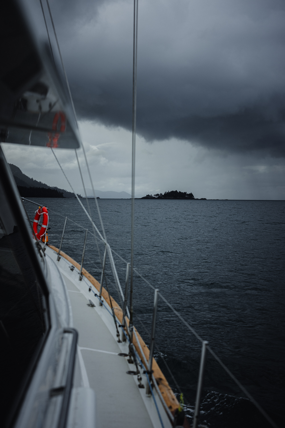
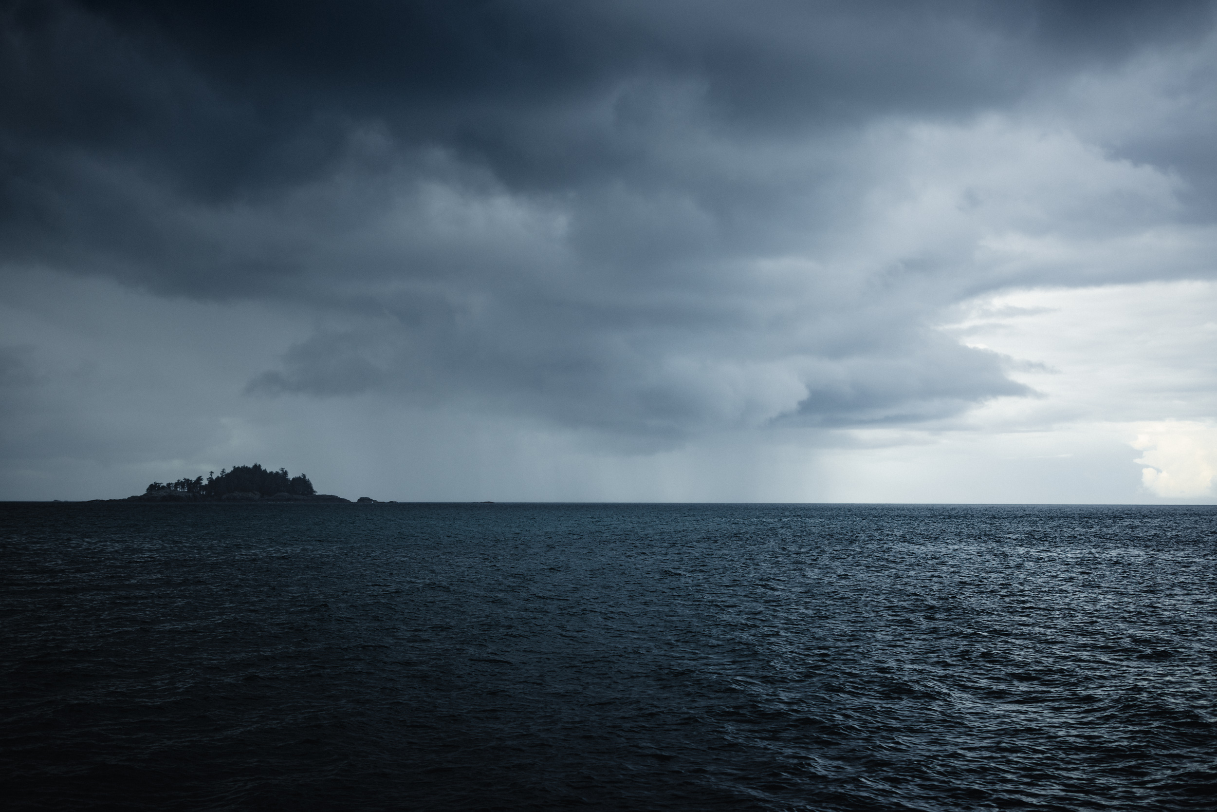
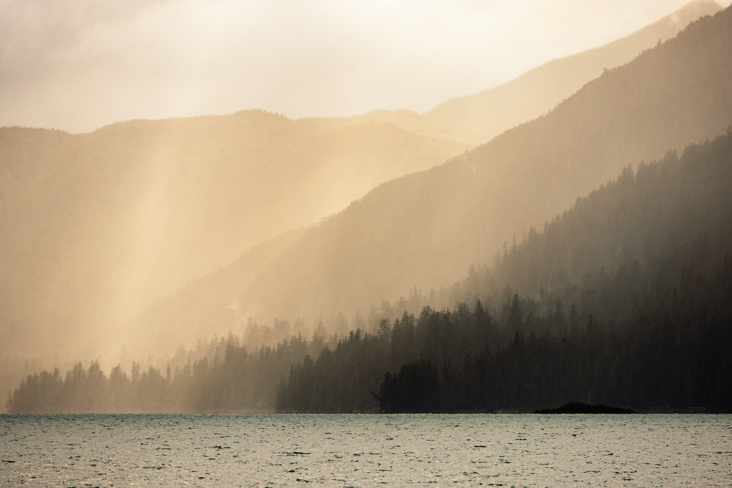
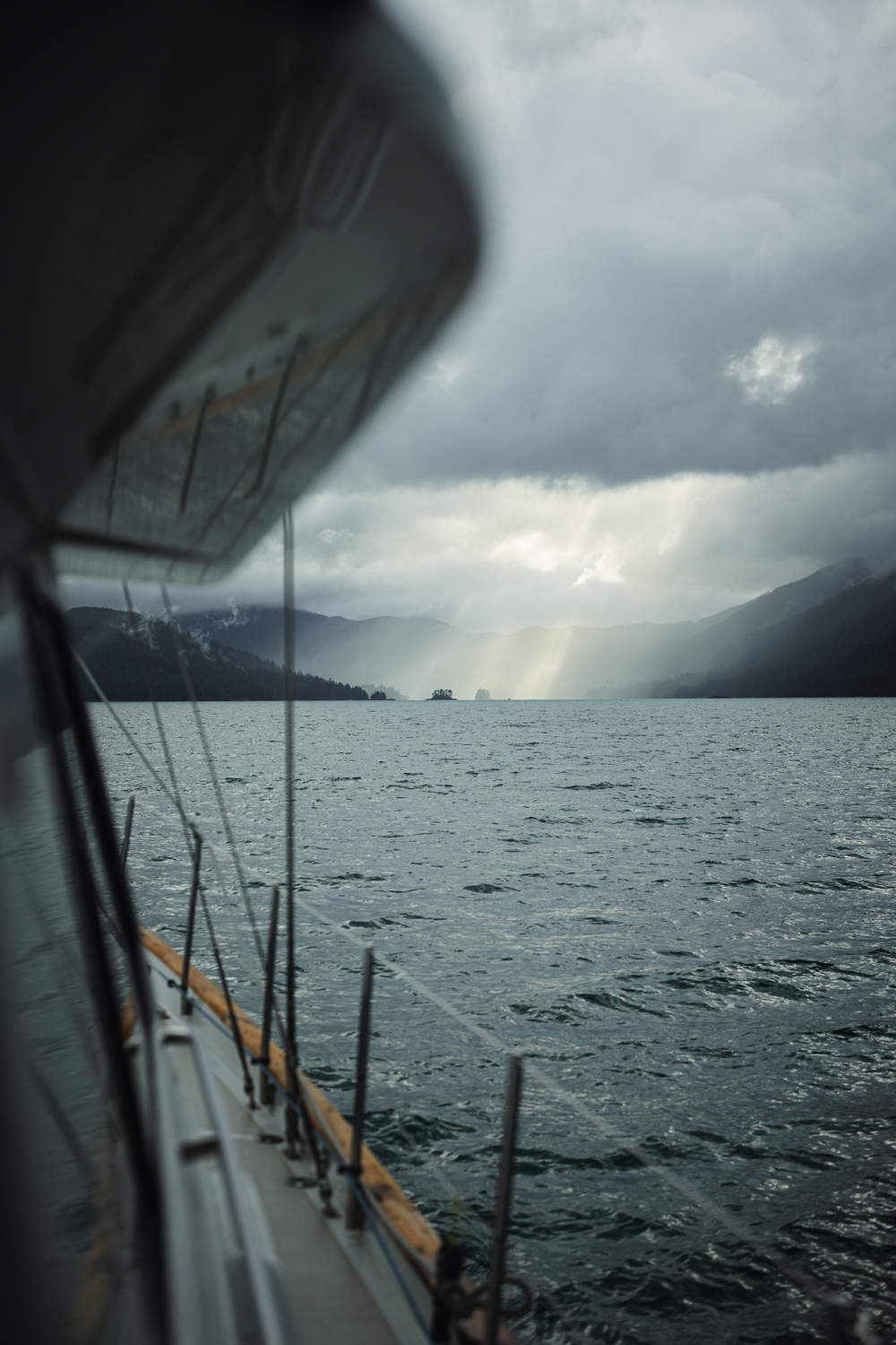
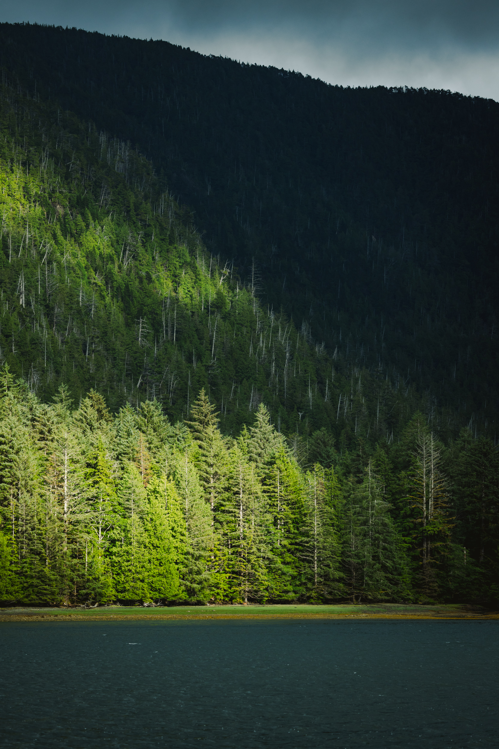
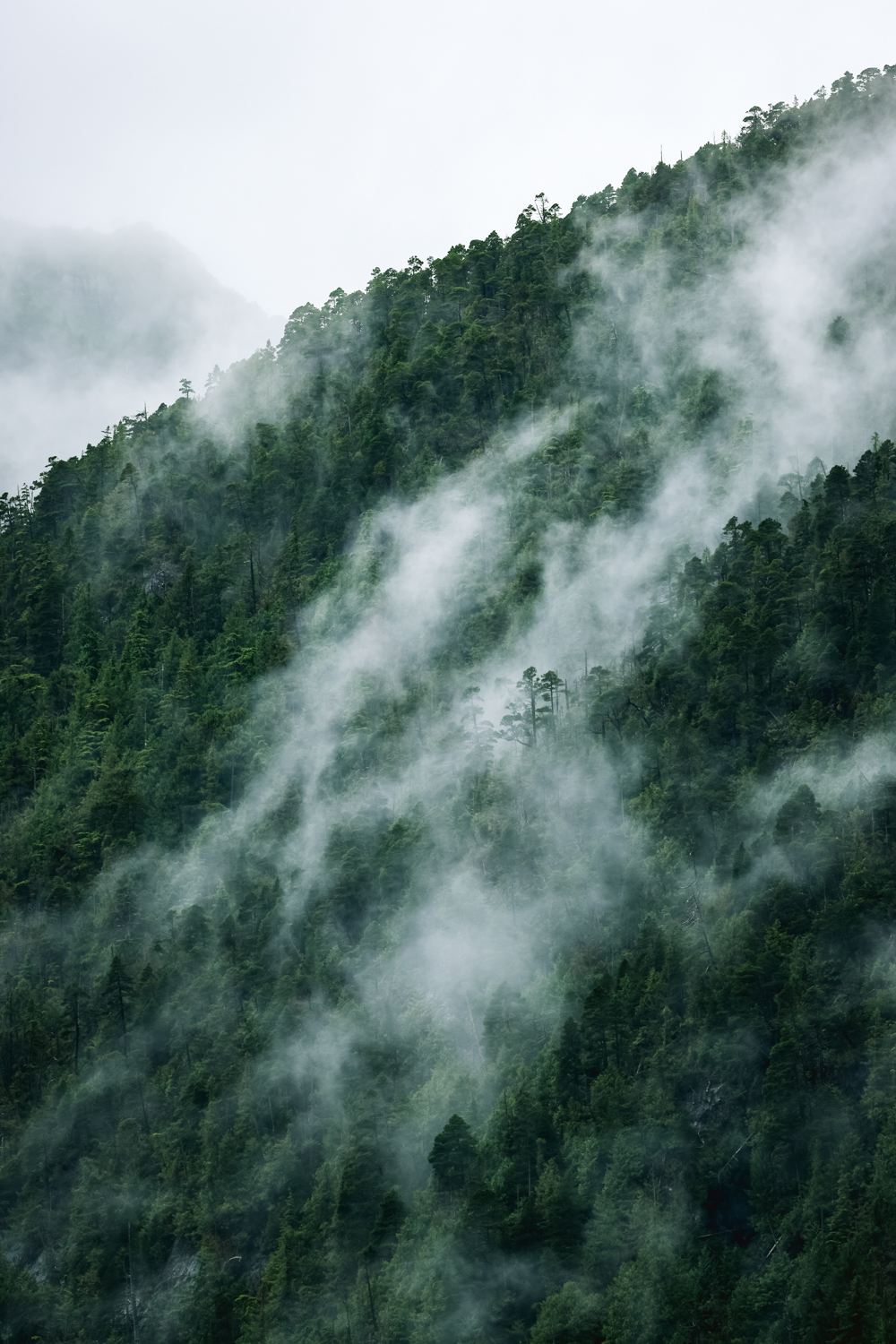
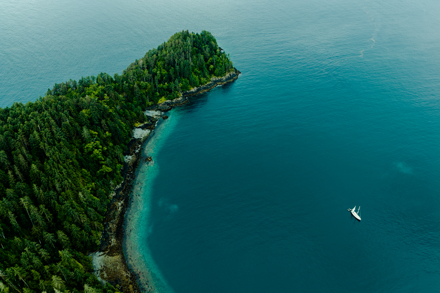
The skies on this trip weren’t a backdrop—they were a character. Captain Ashley read the forecast and made the call early: run south for SGang Gwaay as fast as the Ocean Wayfinder could carry us, sailing two days from Moresby Camp and only dropping anchor in the evenings. It was the right decision—the Hecate doesn’t forgive a misread. We later learned another boat, a day behind us on the same route south, got caught in heavy seas and came through with broken dishes and a shaken crew. We got the drama instead: foreboding clouds stacked to the horizon, rain squalls you could watch coming for an hour, light breaking through in shafts that turned the water gold and silver. As a photographer, you don’t pray for weather like that. You just try to be ready when it arrives.
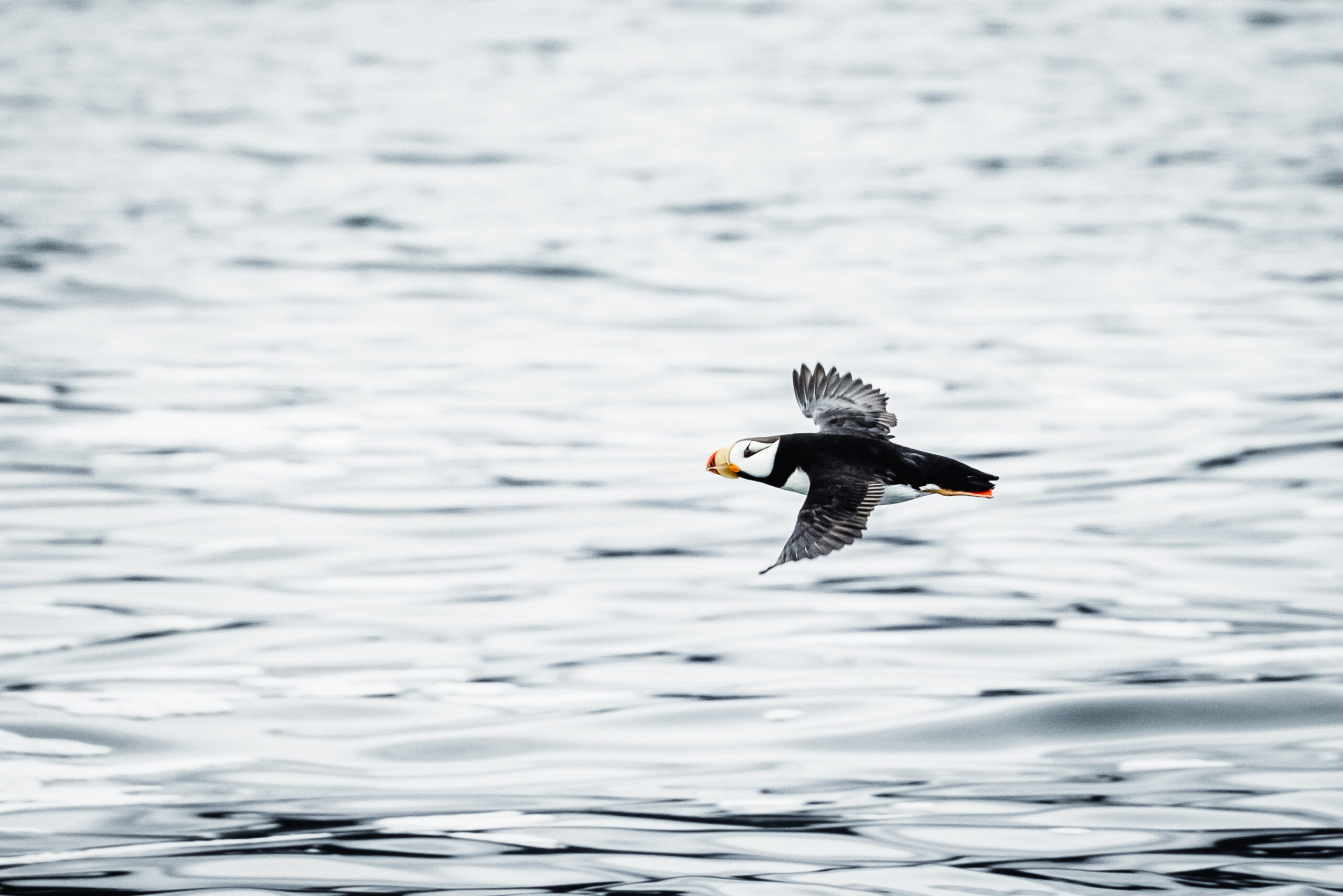
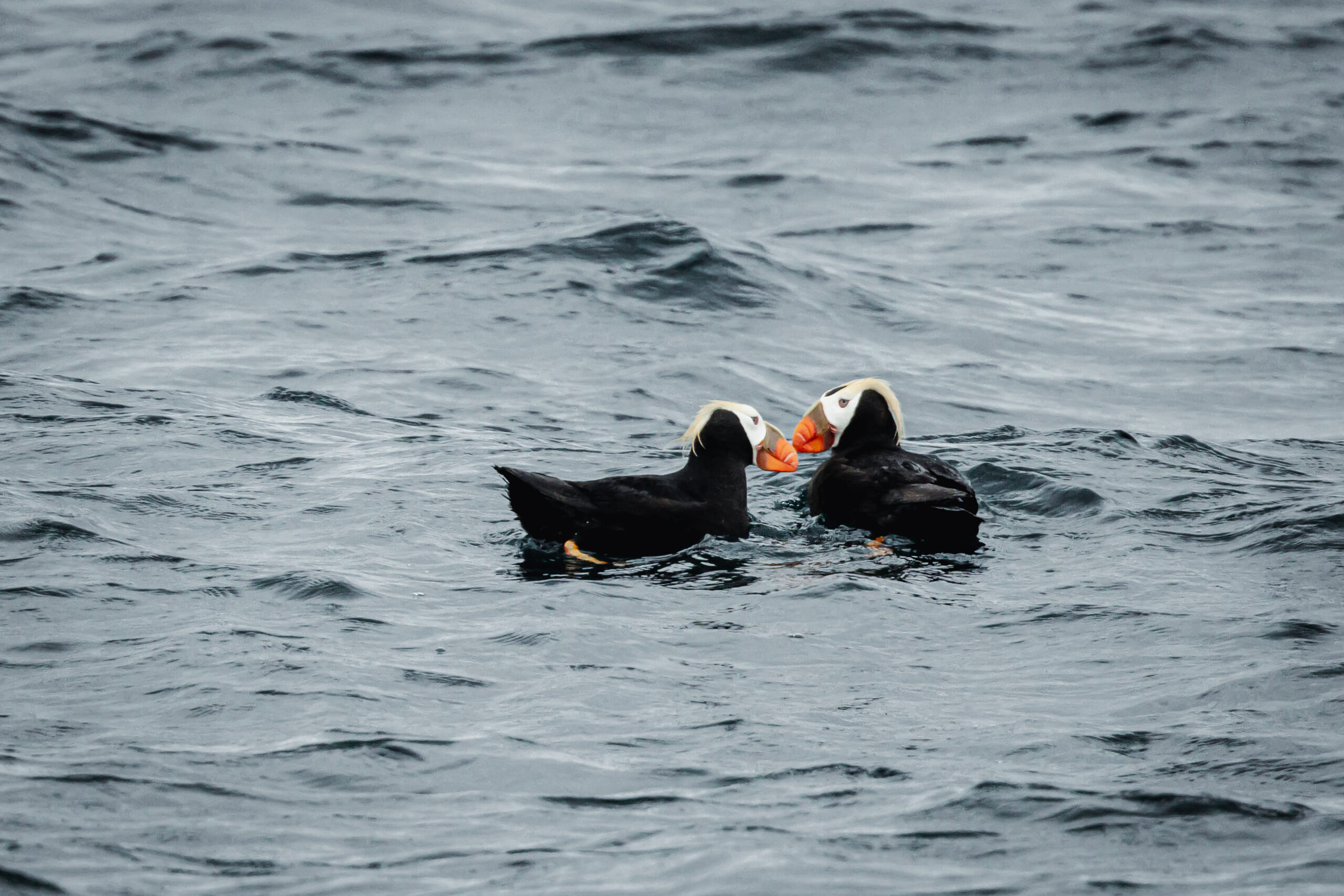
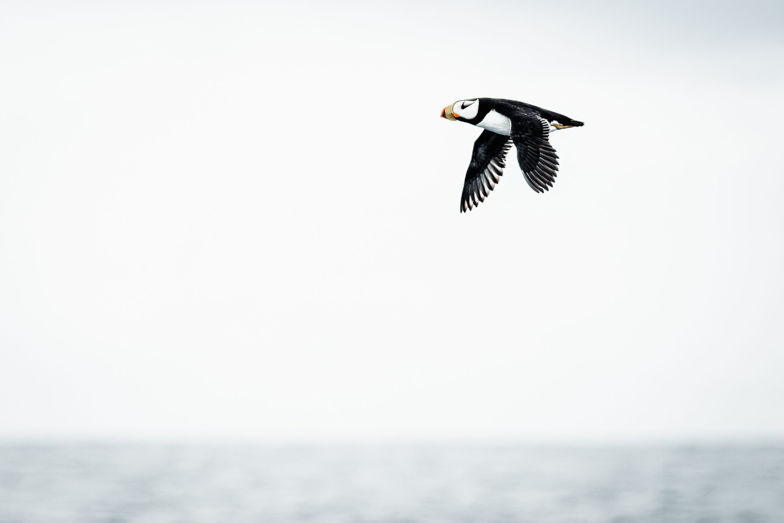
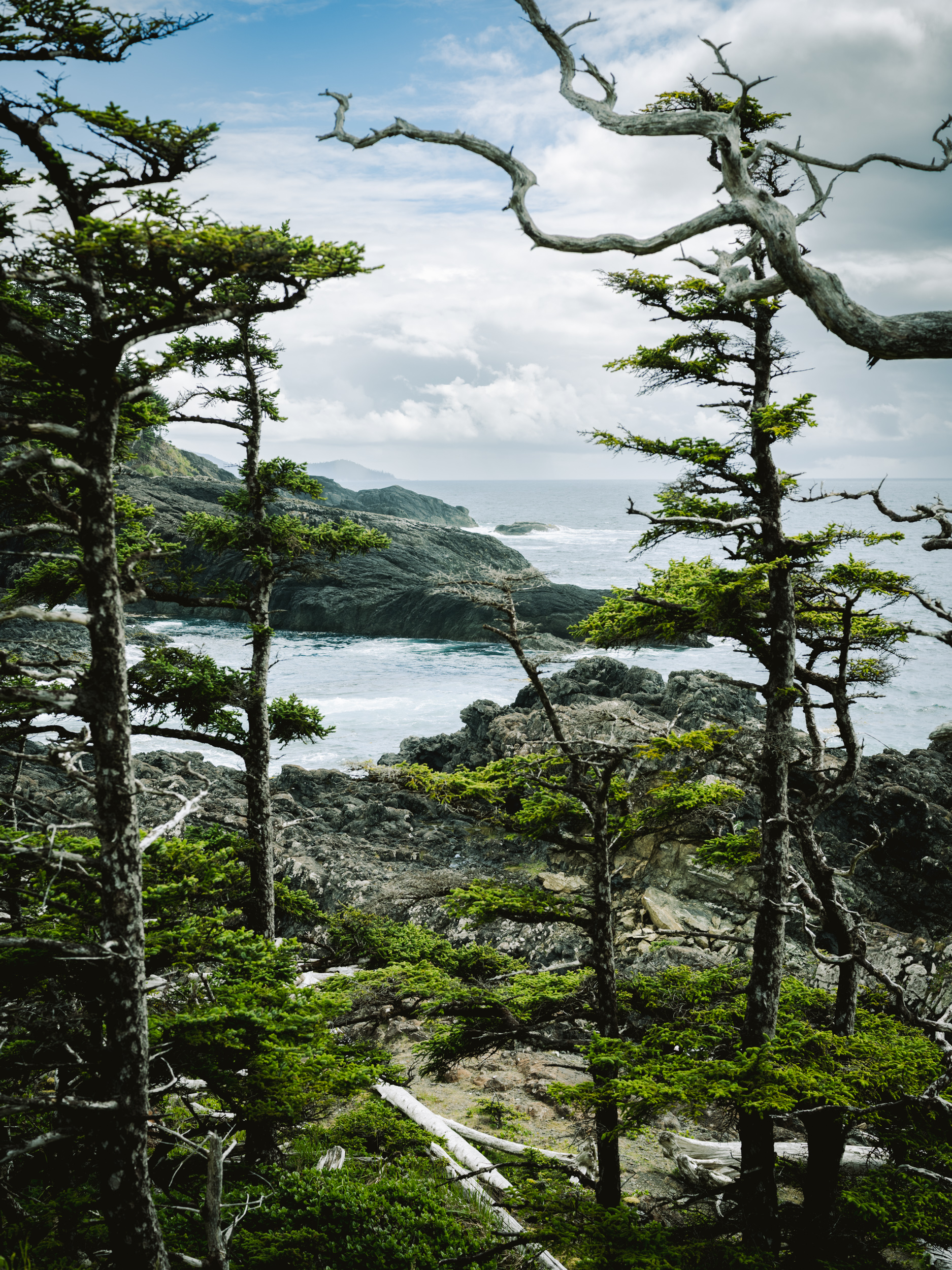
On our third morning, the crisp scent of saltwater and a cacophony of crashing surf and seabirds set the scene as the Ocean Wayfinder got underway. As early mist gradually cleared, K’il—widely known as Flatrock Island—appeared in the distance. This striking dark volcanic outcrop serves as an essential nesting site for many seabirds, such as Horned and Tufted puffins. From their nesting perches, we watched many of them swoop down to plunge into the dark waters below, hunting for schooling fish.
K’il also serves as supernatural geography to the Haida, which oral tradition tells us is where the universe began. Situated adjacent to SGang Gwaay and the historic waters of Hlgaadaan, the region around Flatrock forms the setting for the tales of Stone Ribs (Hlgaamaas), a prominent figure in Haida mythology. Revered as a legendary hero, Godanxee’wat (Stone Ribs), is celebrated for safeguarding the community of Hlgaadaan by vanquishing Kaa’Gwaay, a formidable five-finned sea monster.
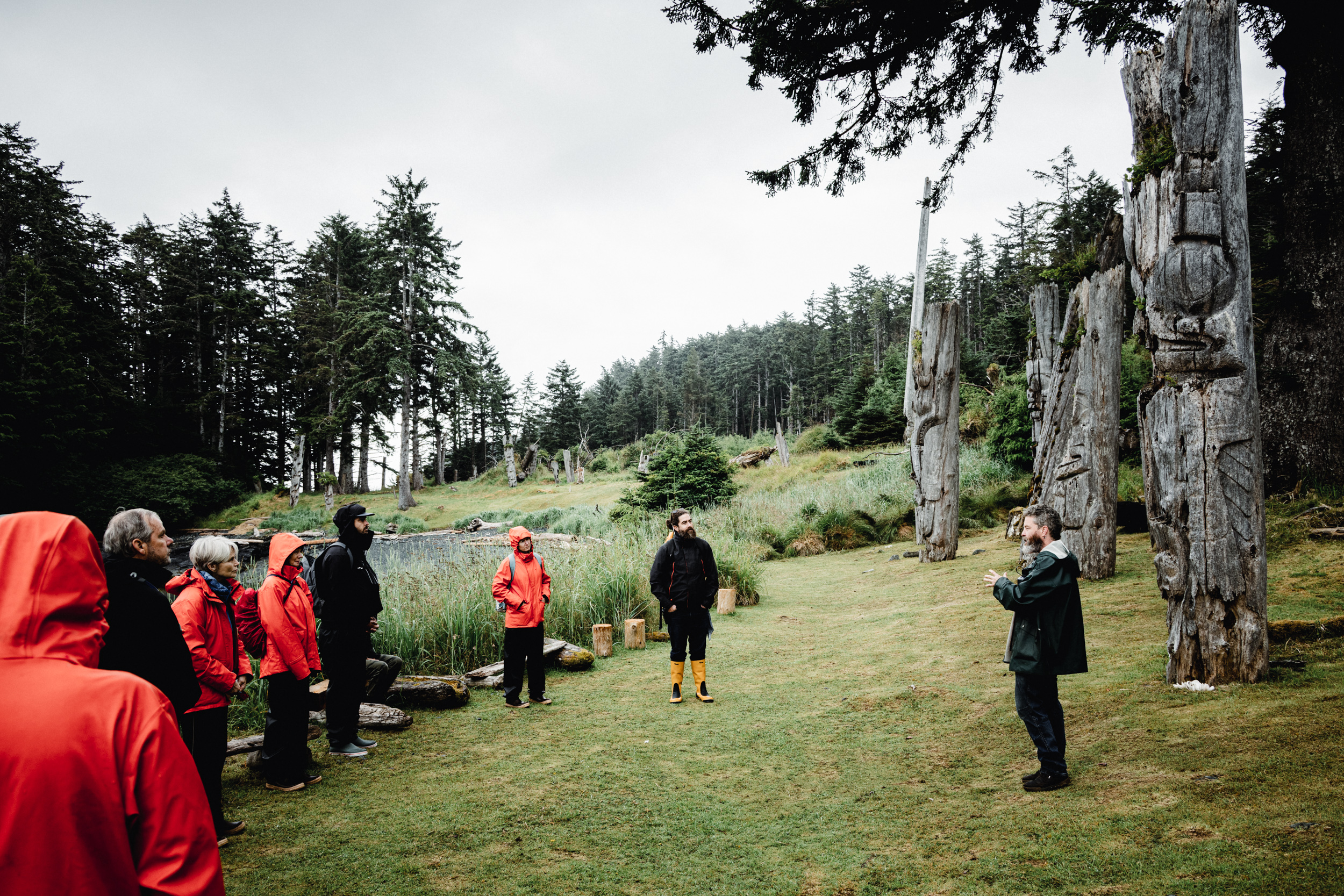
Our guide at SGang Gwaay today, Gwaai Edenshaw, created a bronze totem depicting Godanxee’wat that was featured at Vancouver’s Bill Reid Gallery. Beyond its visually striking form, the sculpture carries deep cultural meaning. In the Haida language, Godanxee’wat describes the process of discovering inner truths. As Gwaai explains, “These hidden things are held dearly within people, and we [who practice a certain Haida culture] are helping people discover their hidden things and come to realize who they really are.”
It took two days of sailing from Moresby Camp to get here—our first landfall—and the arrival feels like a feat in and of itself. SGang Gwaay (Ninstints) sits at what feels like the end of the earth: Anthony Island, the southernmost reach of Haida Gwaii, with the continental shelf dropping to depths of 8,000 feet just a few kilometres offshore. The remote aura is palpable; a rugged and remarkable location at the tip of the map, or as some say the “Edge of the Knife.”
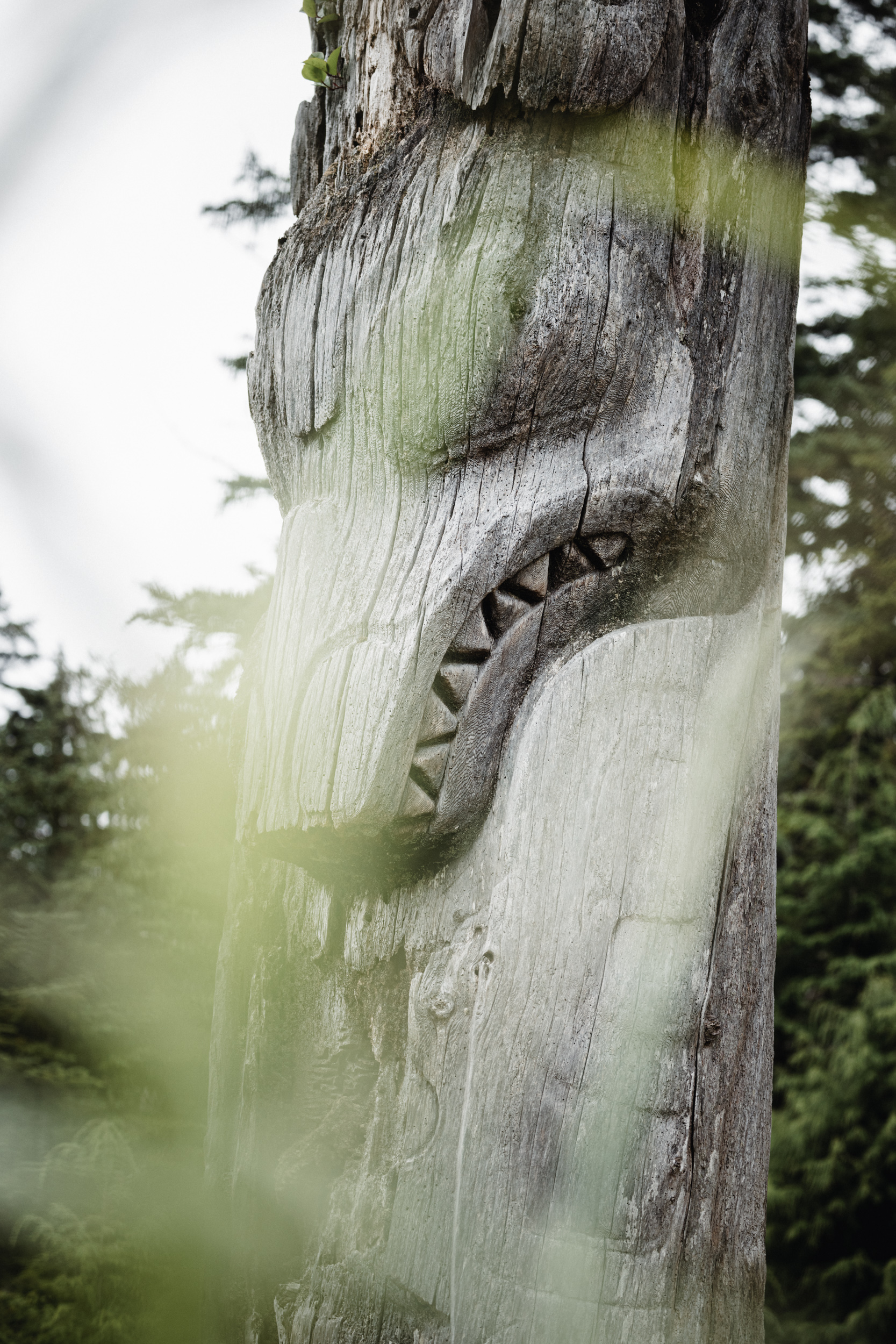
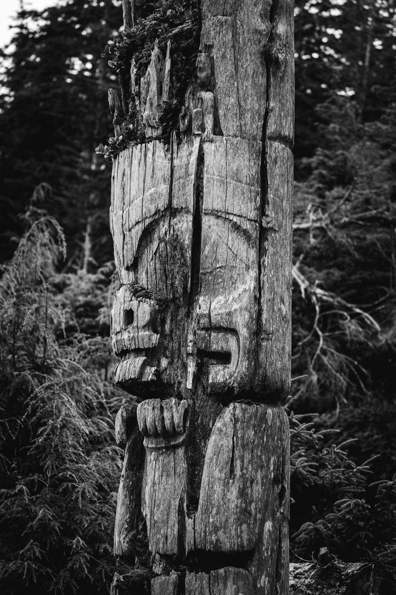
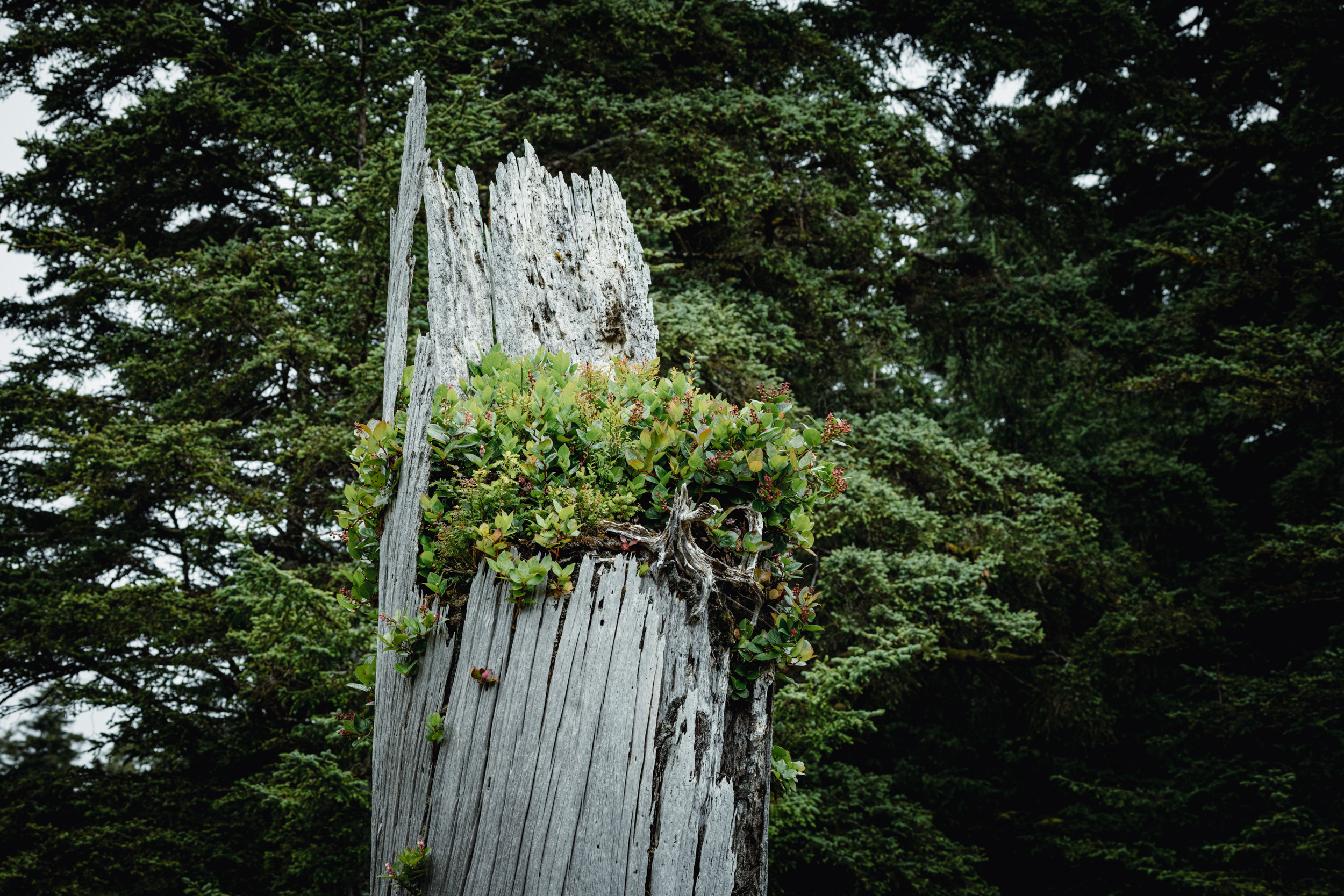
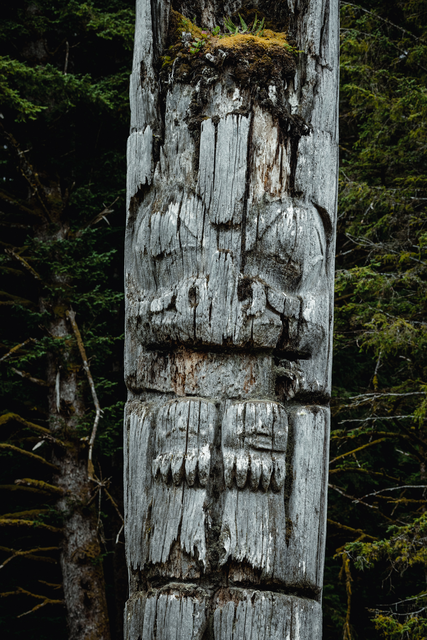
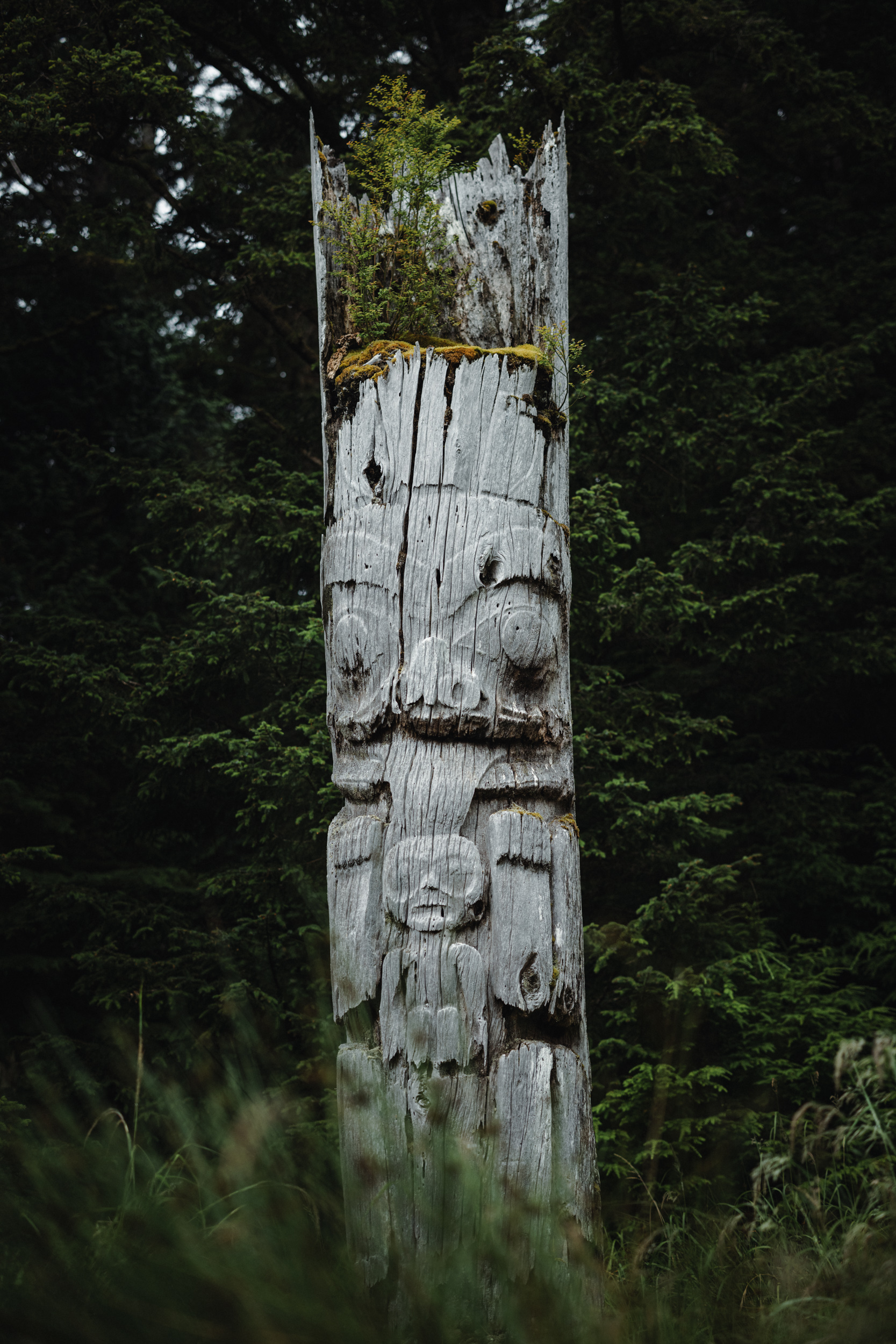
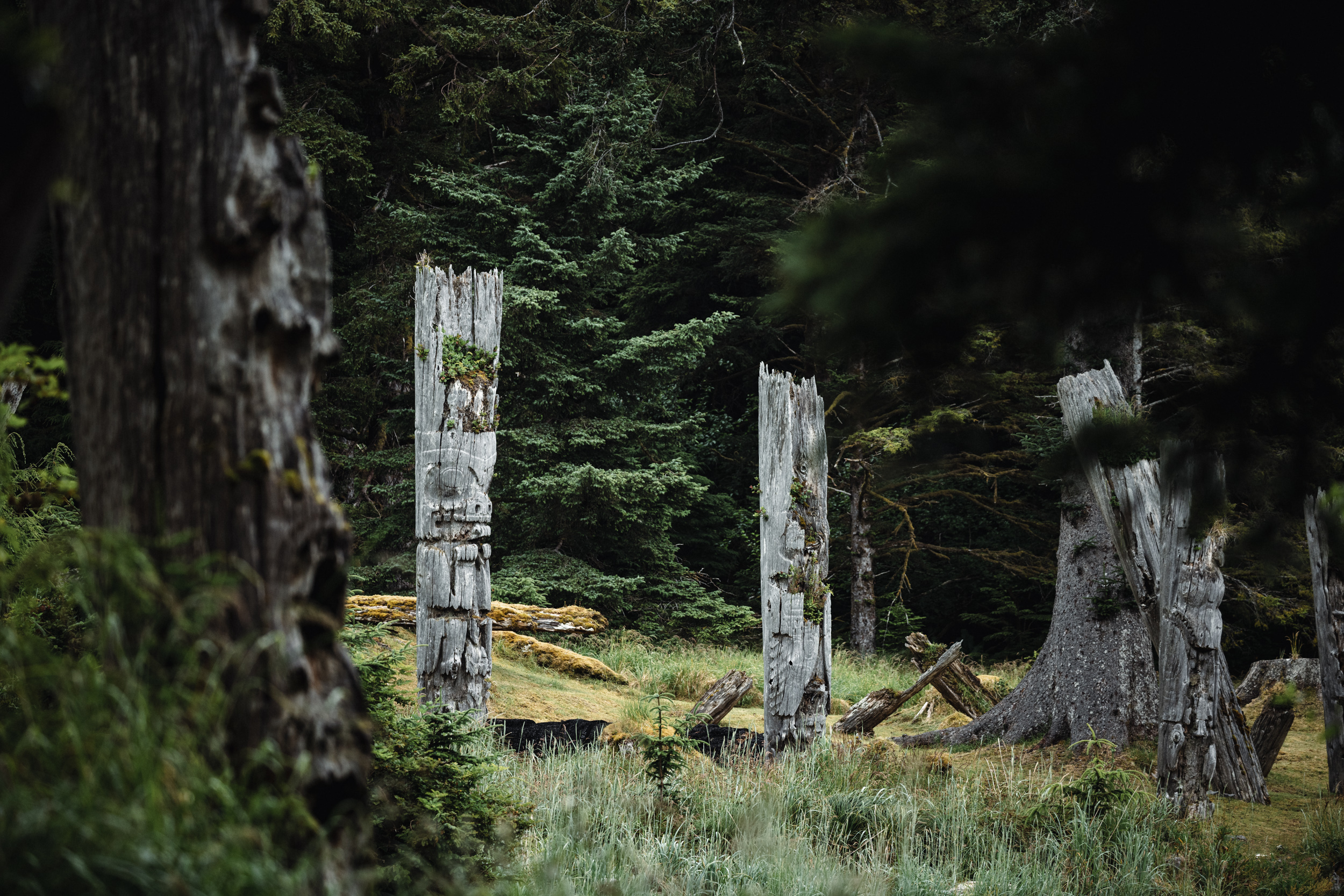
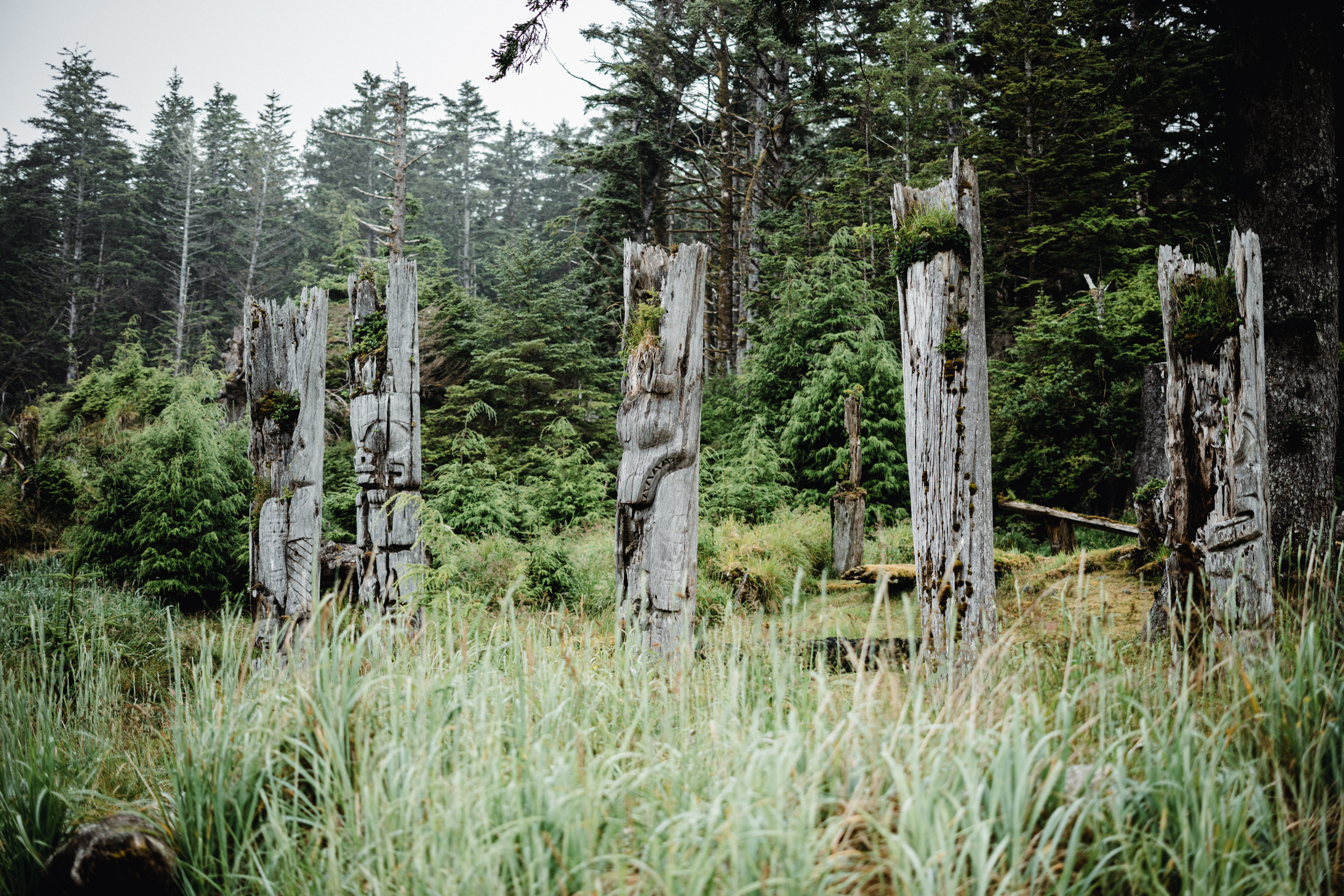
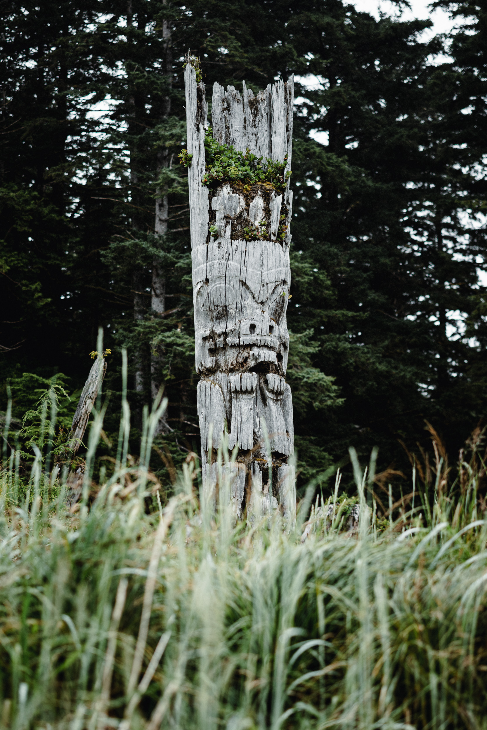
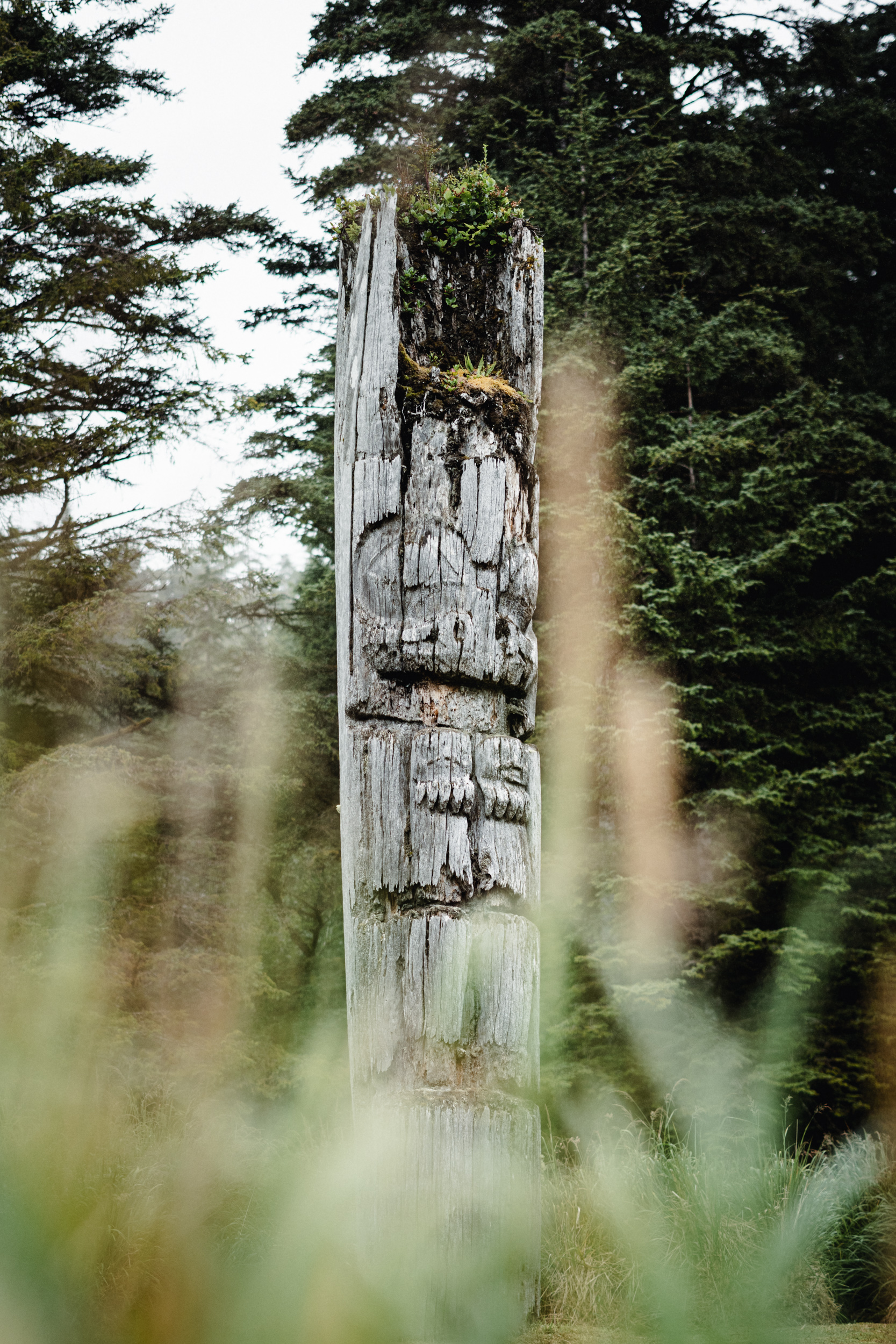
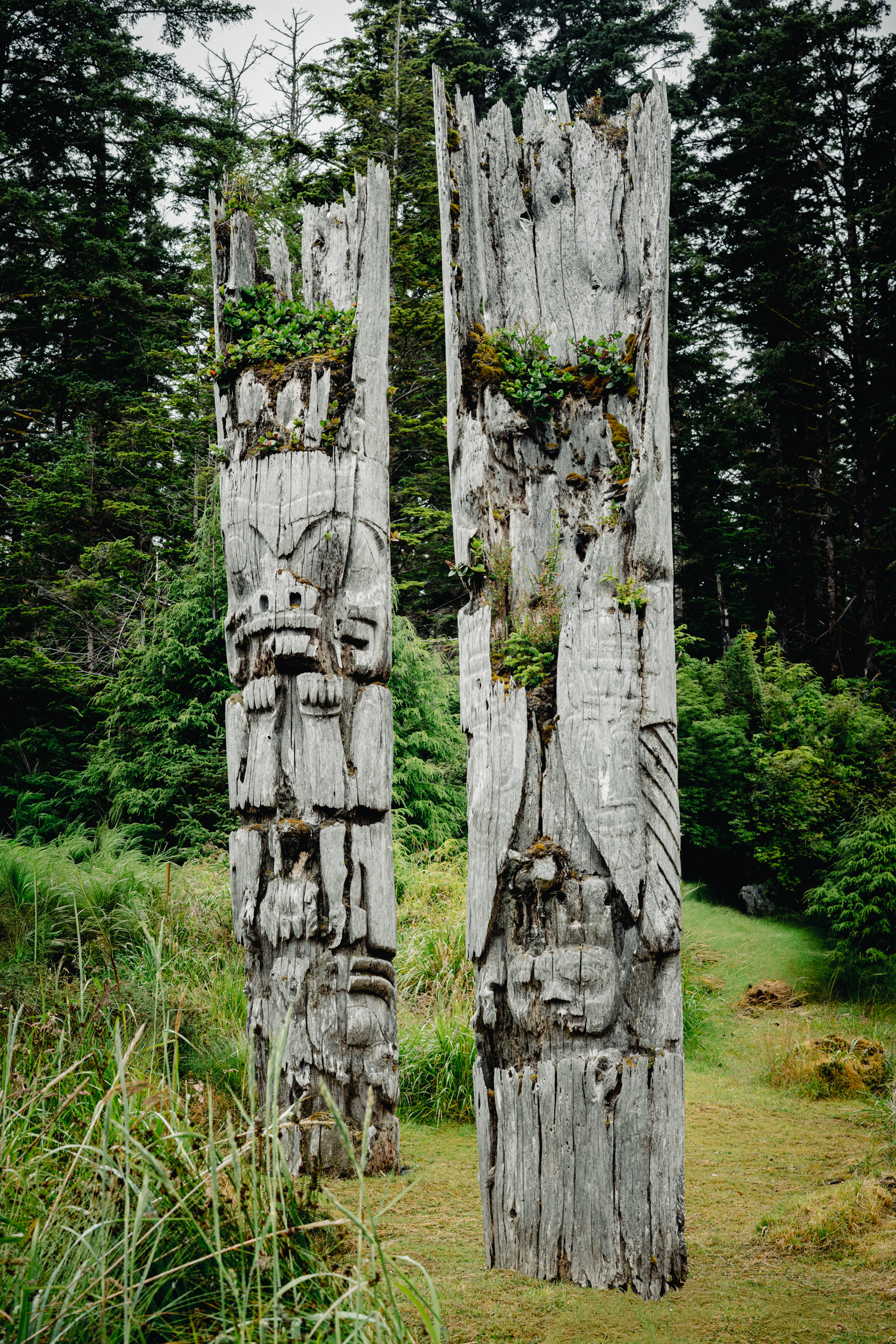
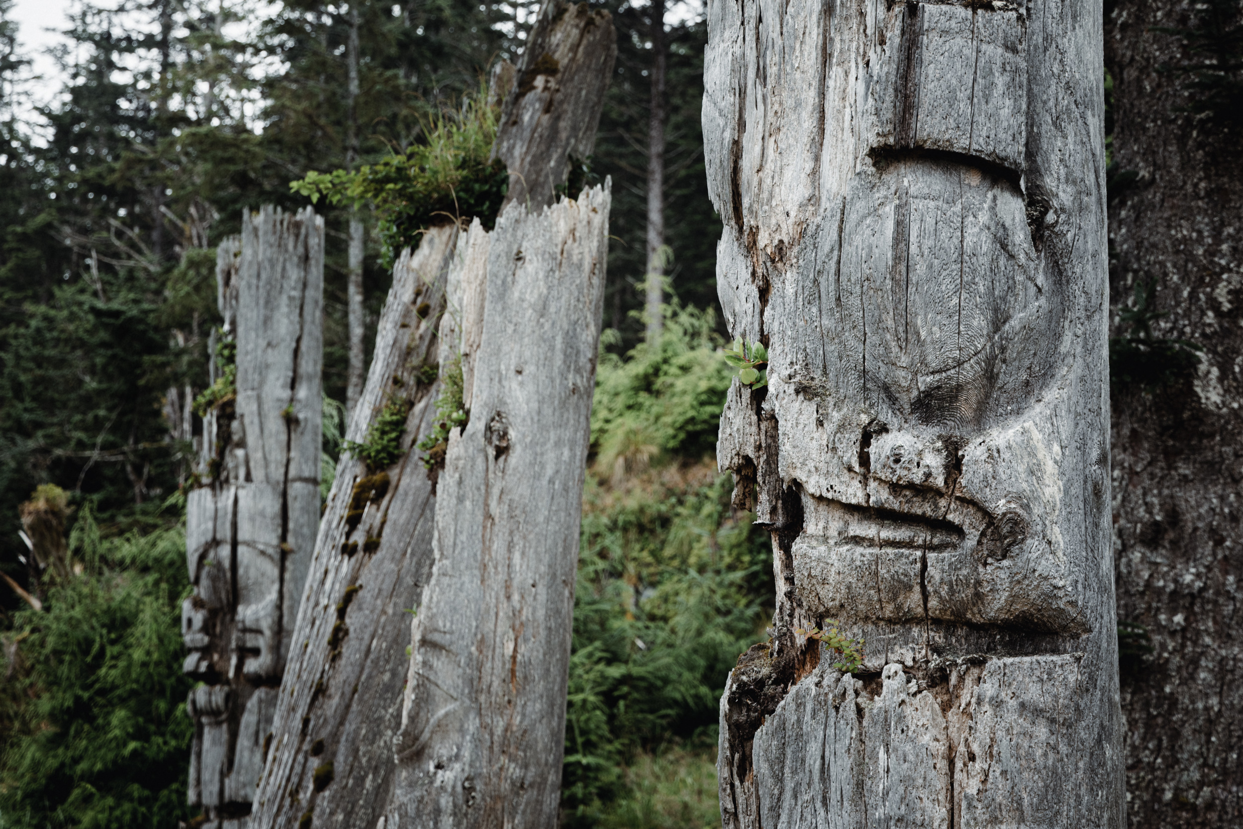
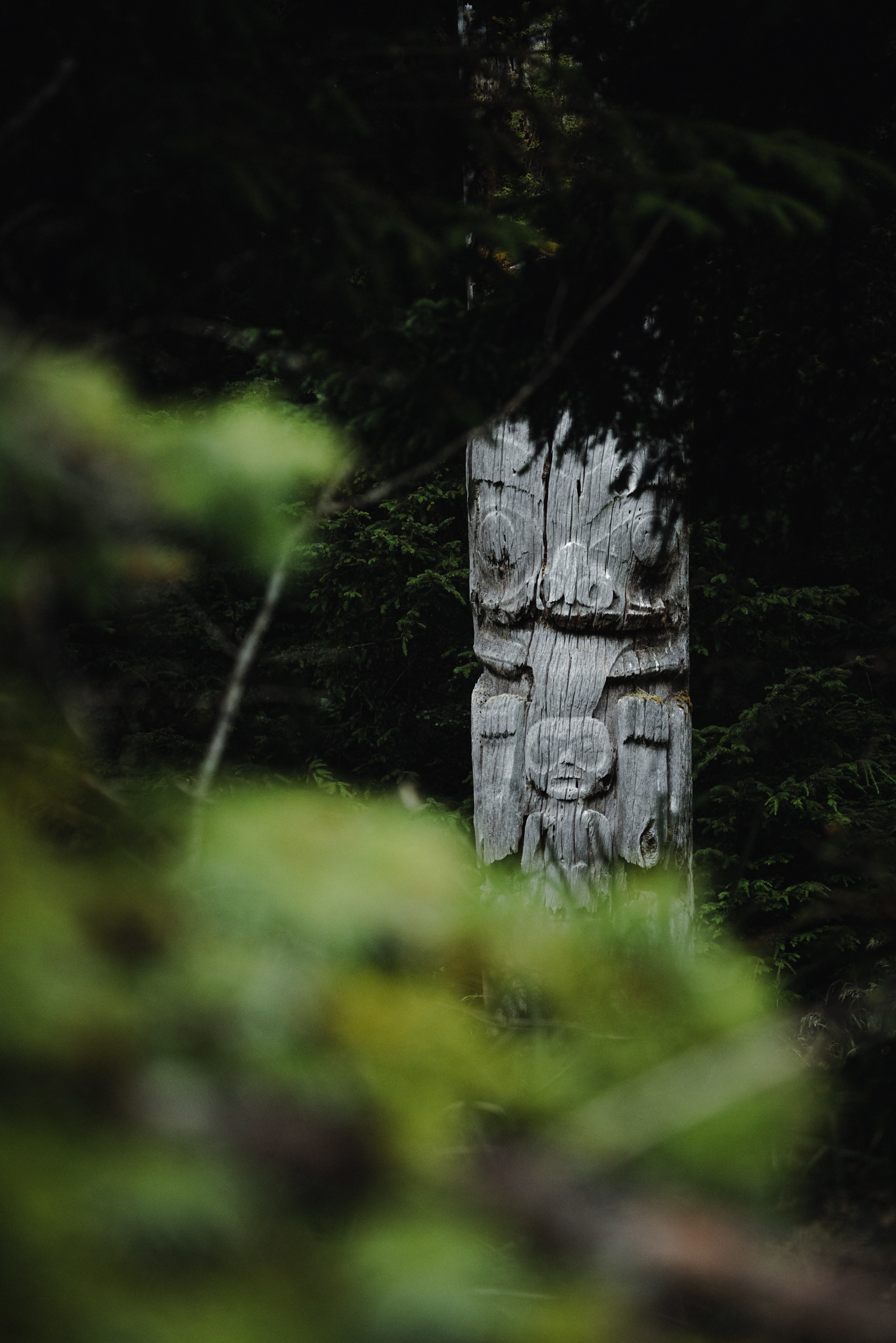
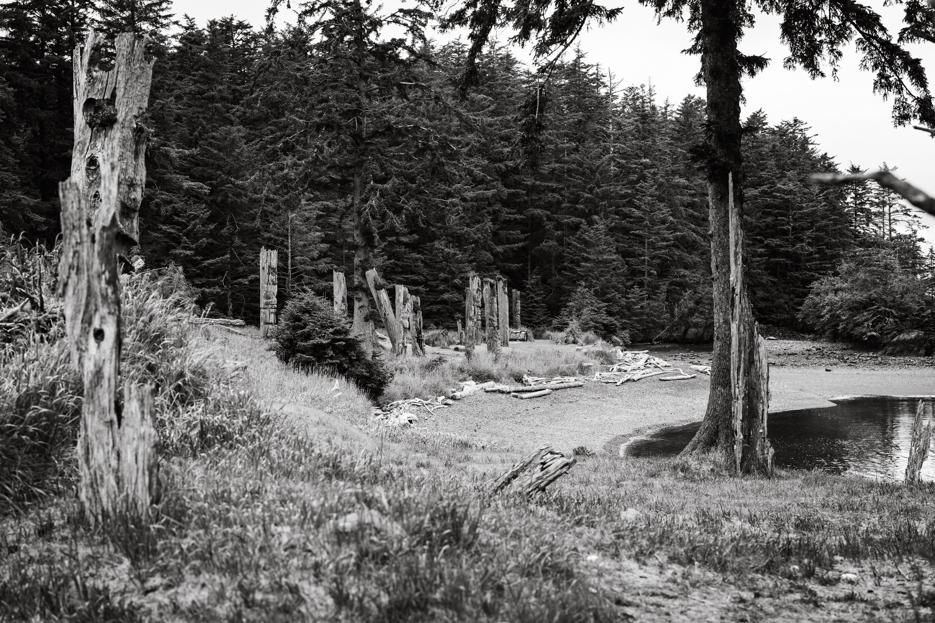
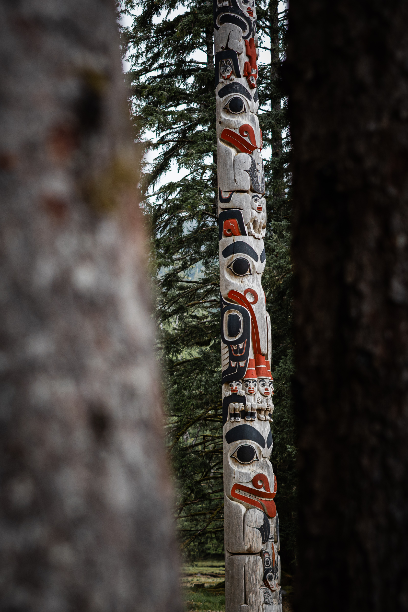
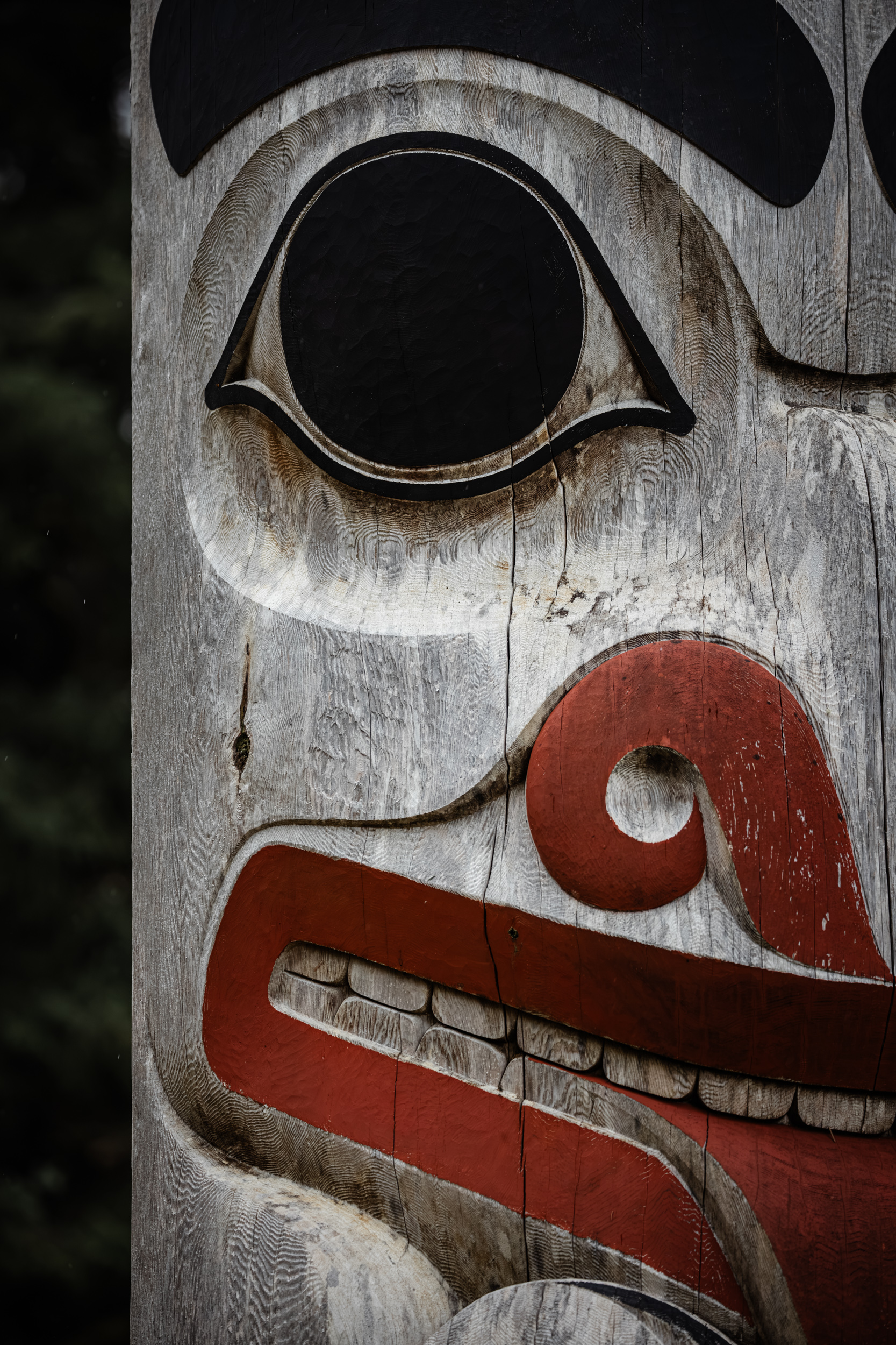
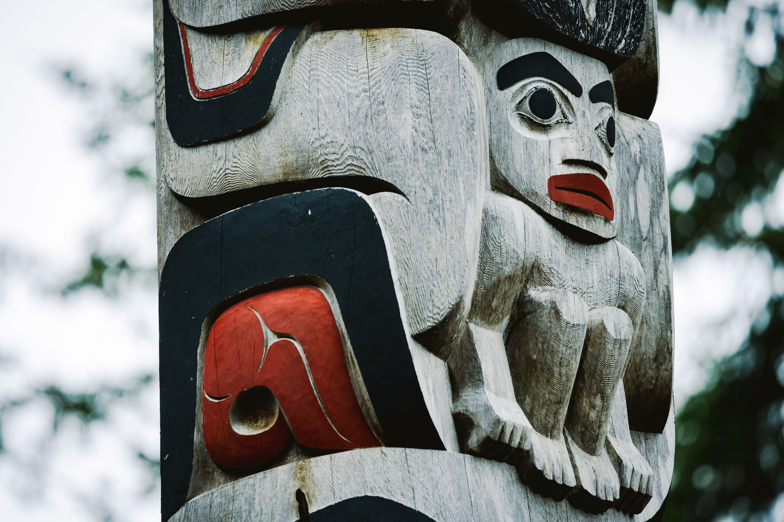
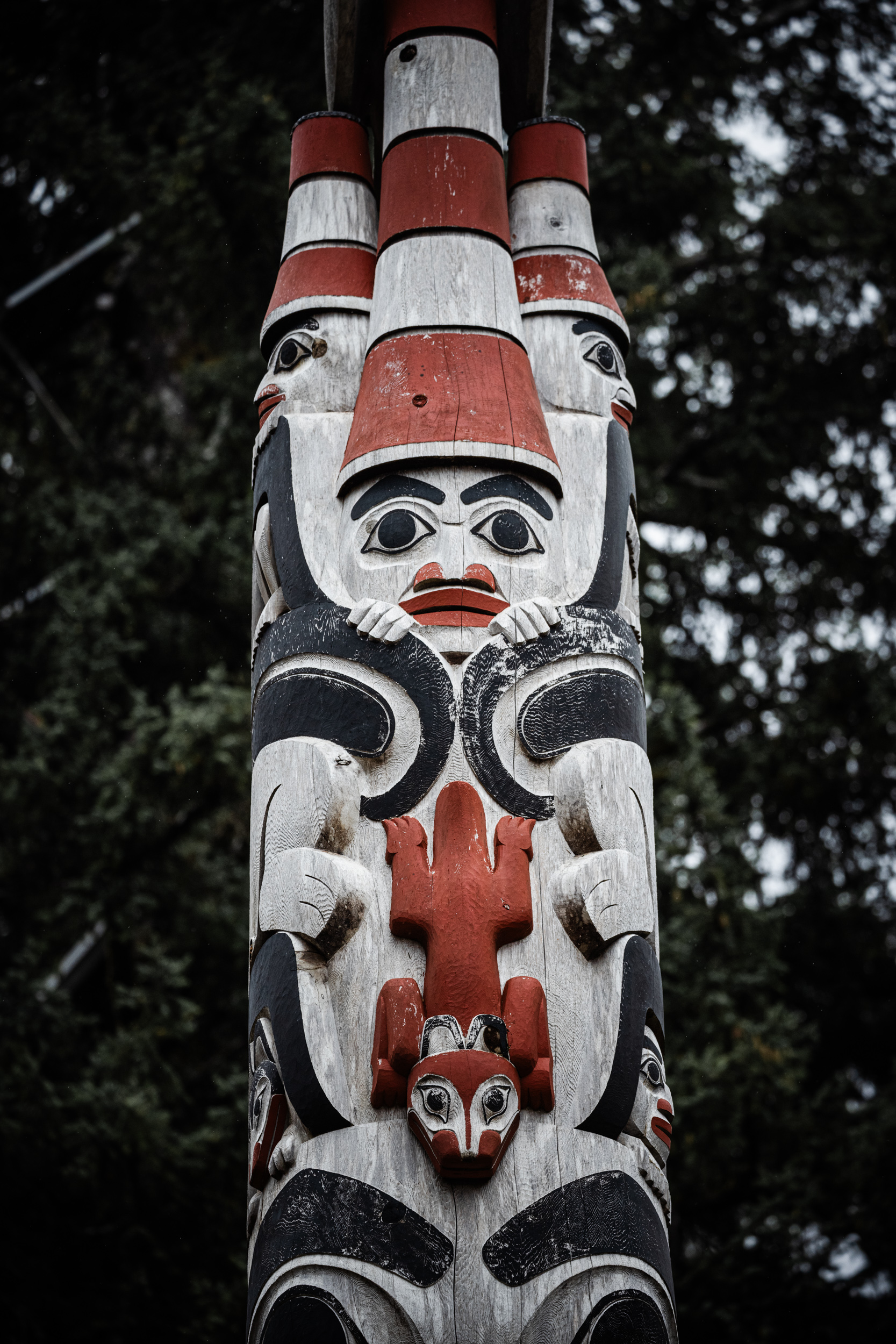
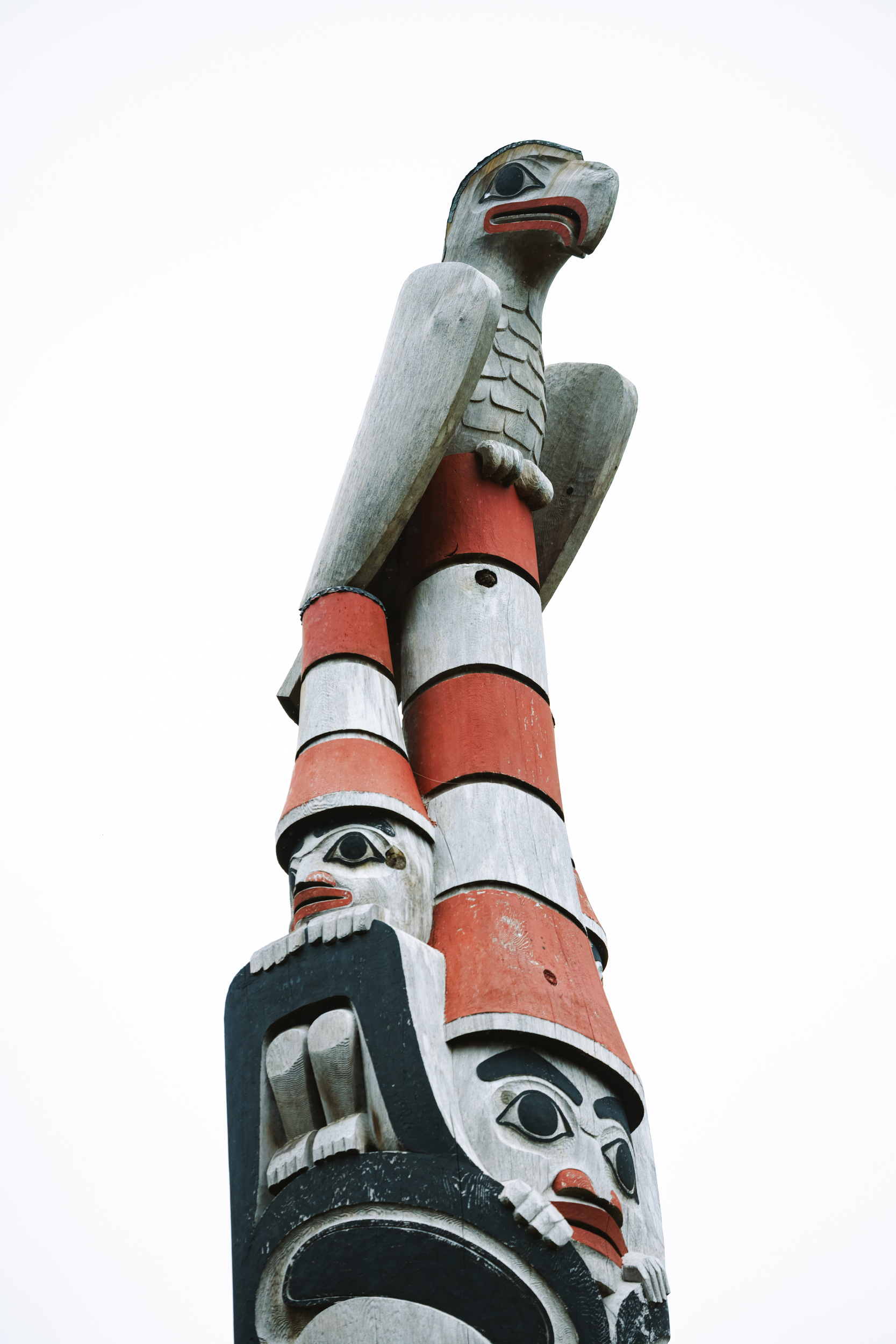
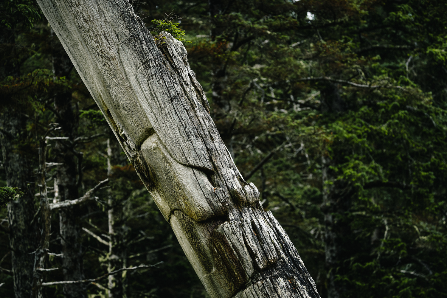
Recognized as a UNESCO World Heritage site in 1981, SGang Gwaay was home to a community of nearly 300 Haida people until the period shortly following 1880. The site remains globally unique today, preserving a 19th-century Haida settlement where house ruins alongside memorial and mortuary poles stand as testaments to the skill and influence of Haida culture.
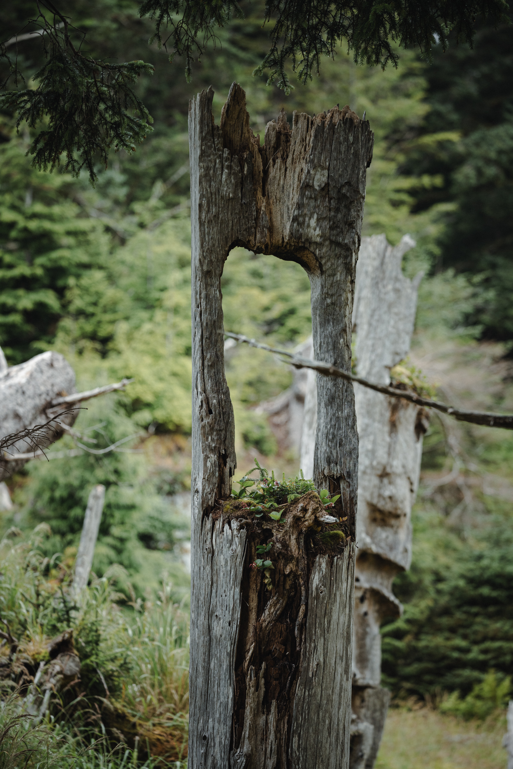
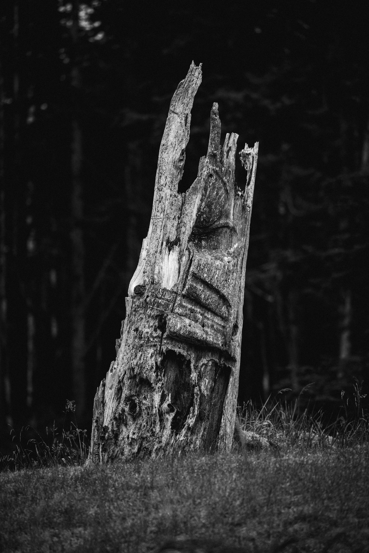
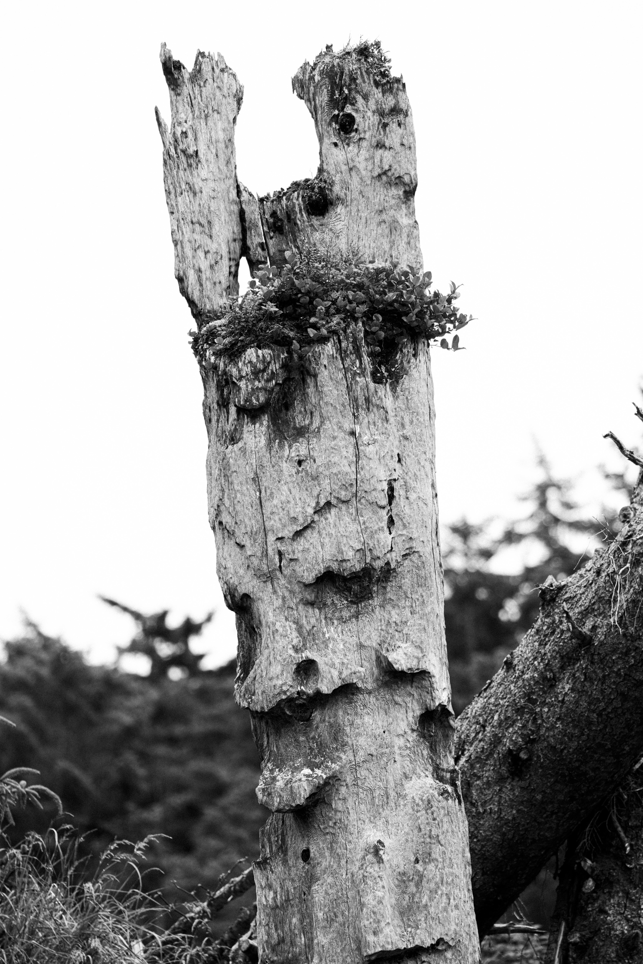
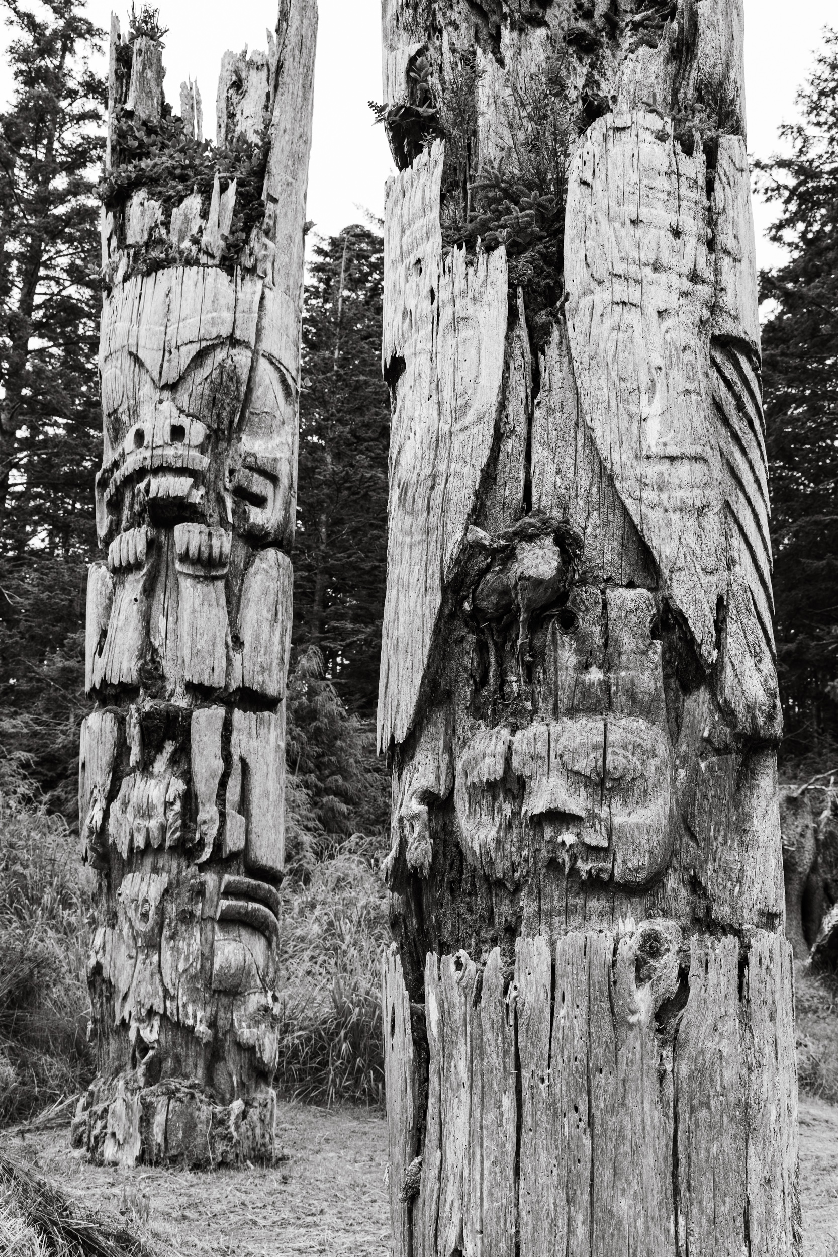
This is my third visit with Outer Shores to SGang Gwaay, and they’ve all been unique and unforgettable. Things have changed since 2018. The poles all look a bit more weathered than before—some fallen or on the verge thereof. A forest that used to exist behind the poles also experienced a large blown down during winter storms a few years back.
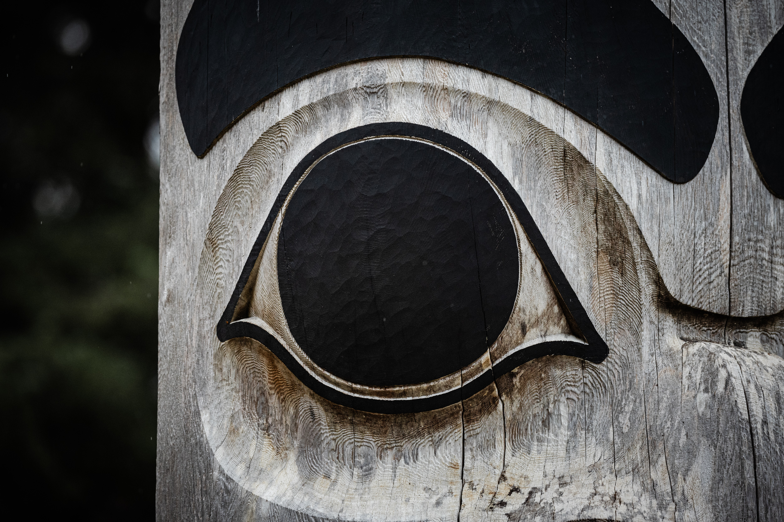
What made this experience different than the past was our guide, Gwaai Edenshaw. A master carver, artist, filmmaker, and Haida Watchman, Gwaai’s perspective and commentary on the SGang Gwaay poles was unique. Once an apprentice of Bill Reid when he was sixteen, Gwaai’s ability to point out previously unrecognized details or tell stories based on the poles was captivating, unhurried, and artful. The entire group and I were very grateful to have his presence navigating SGang Gwaay this time around—a true highlight of the entire trip.
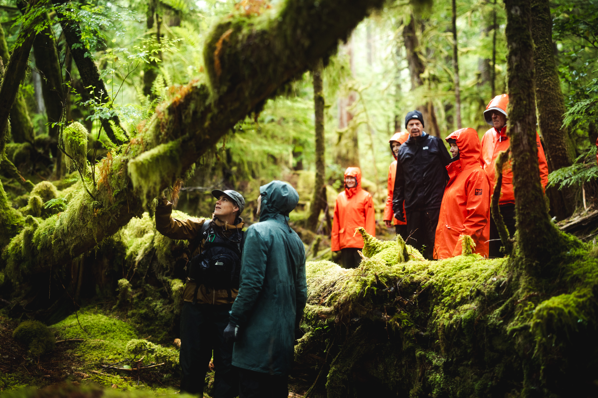
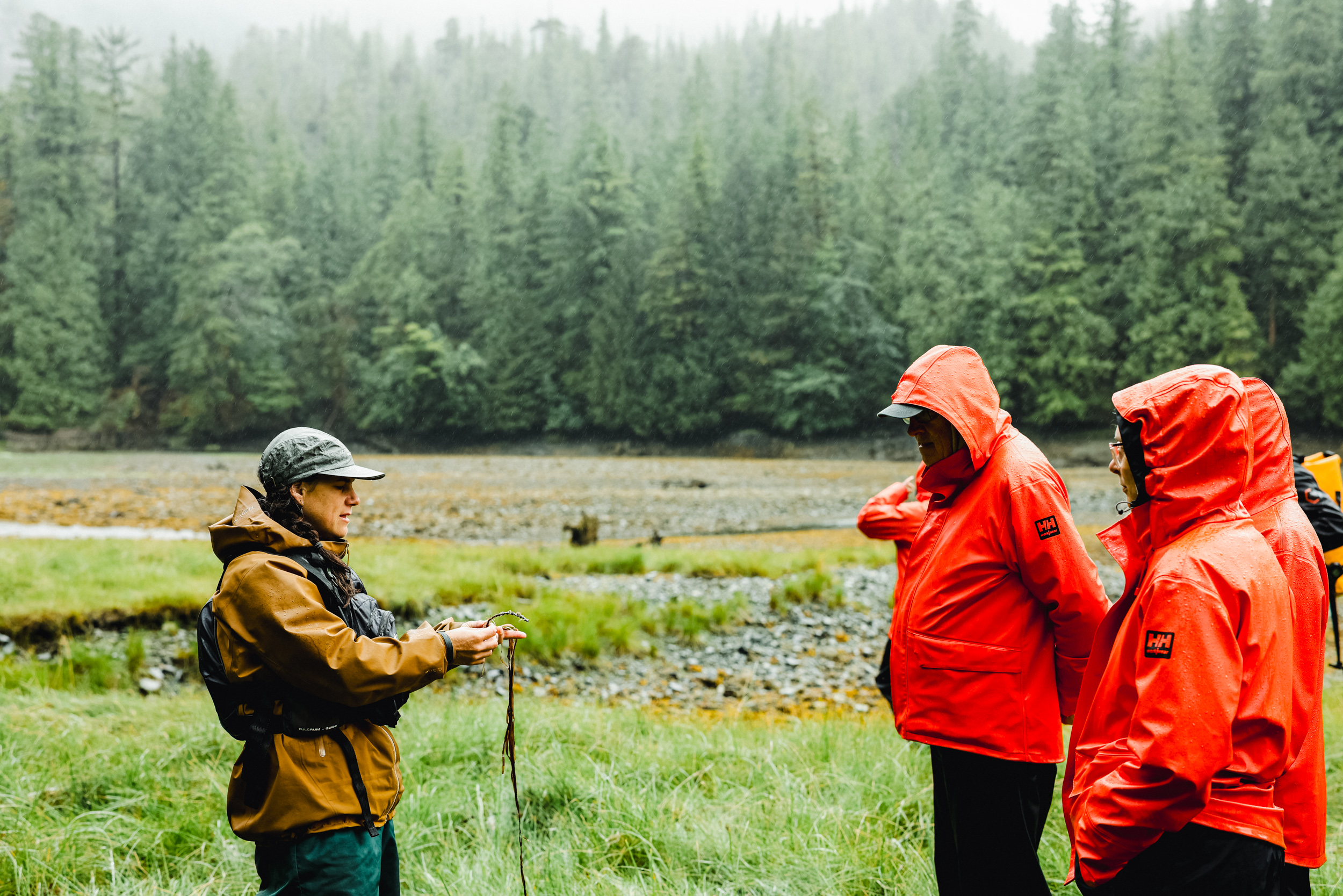
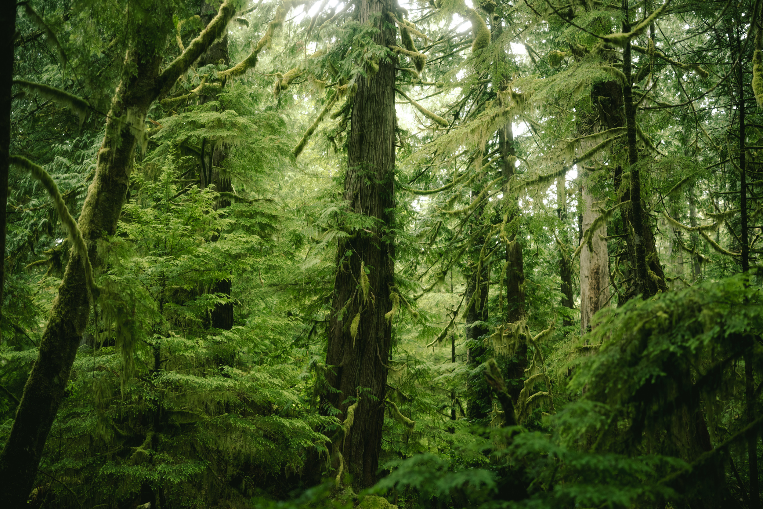
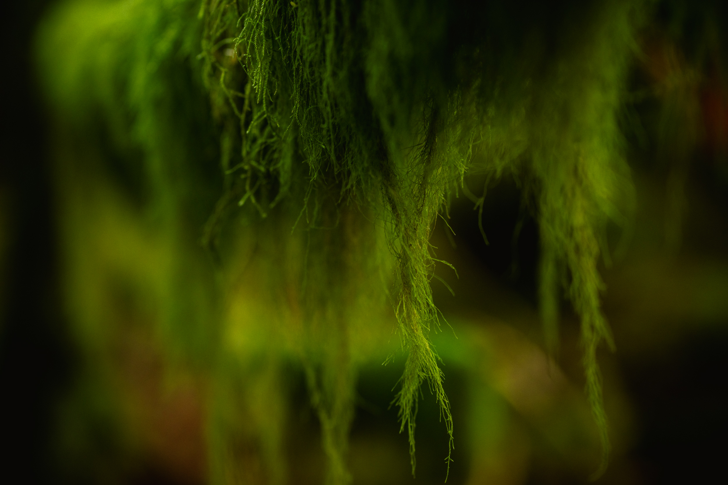
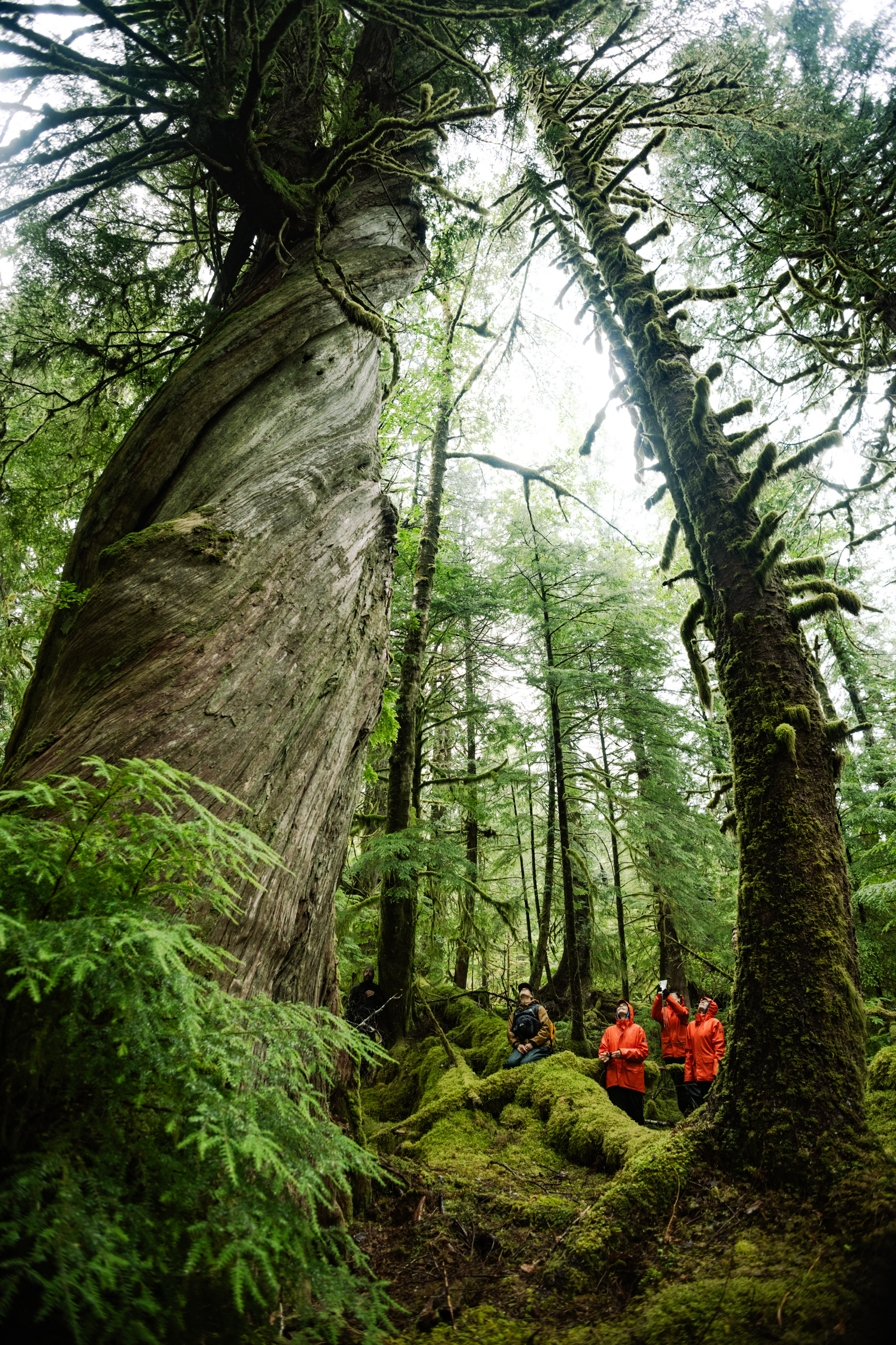
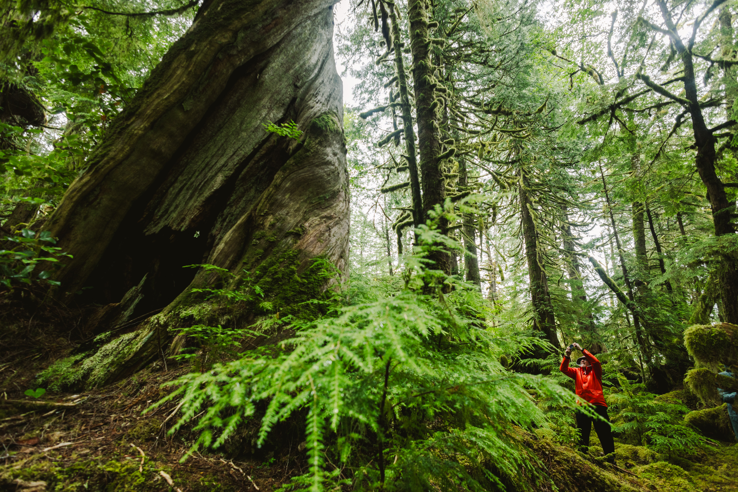
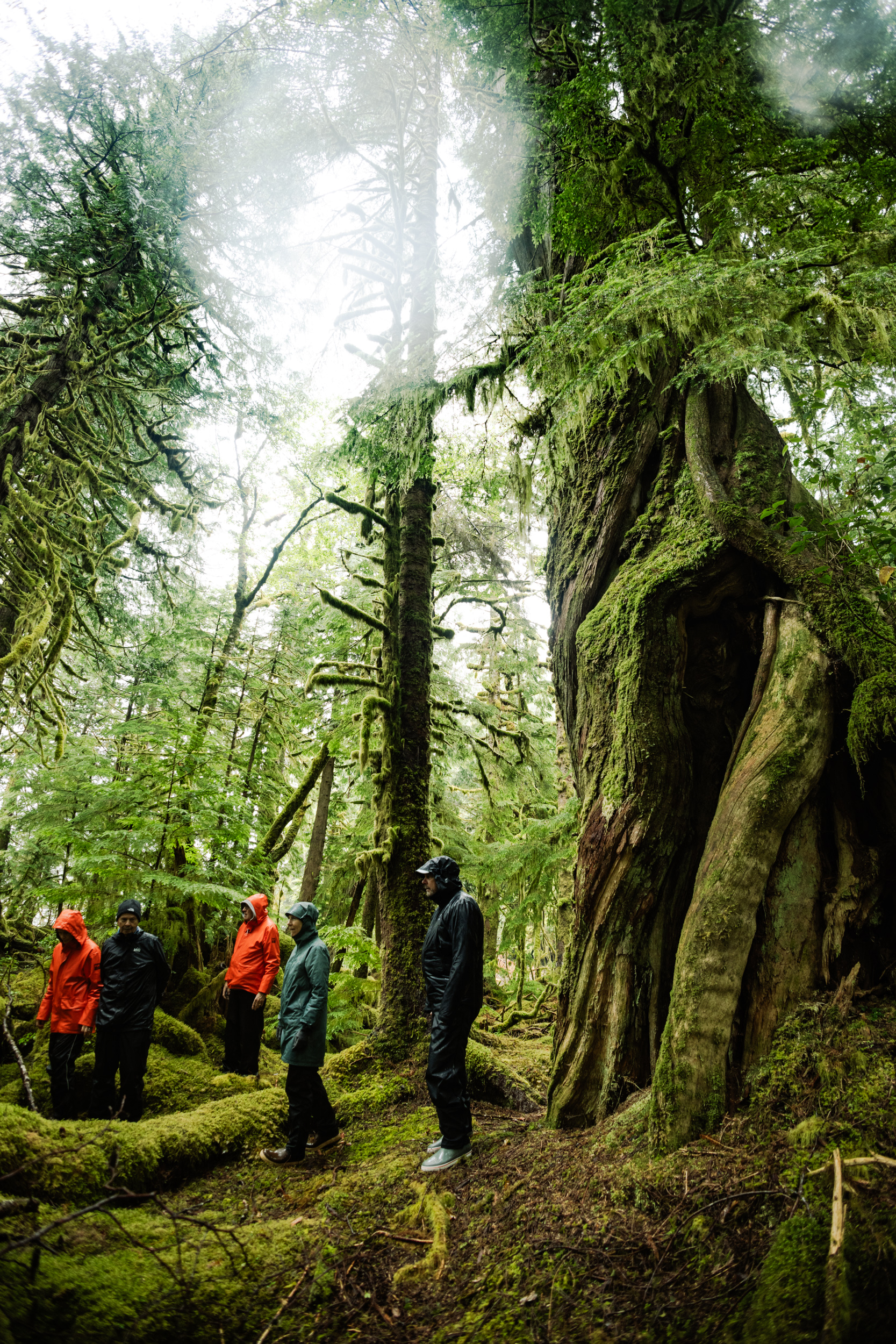
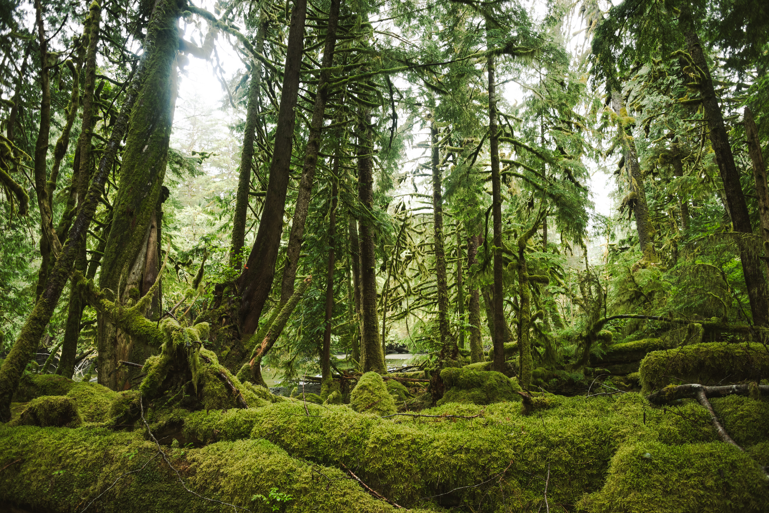
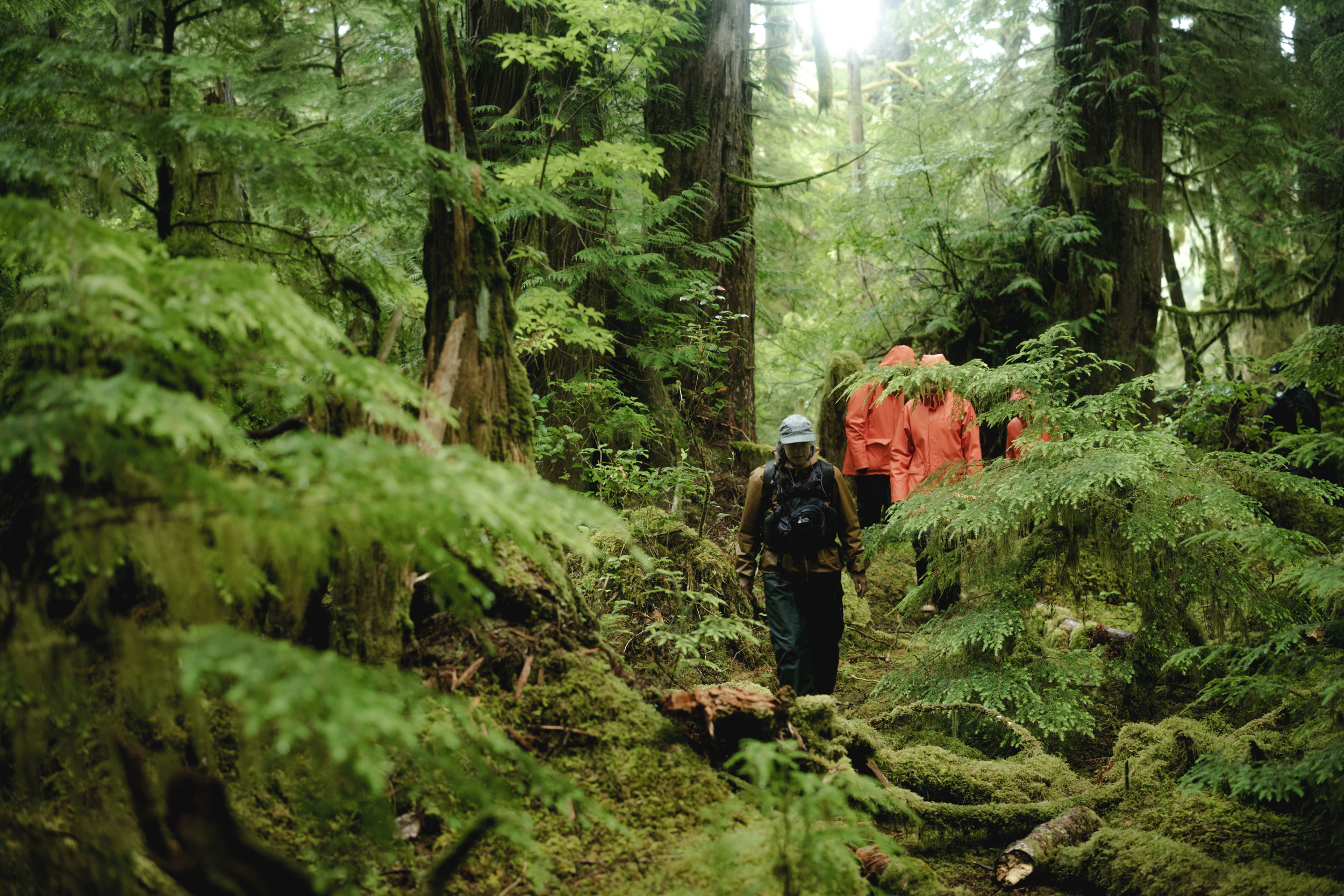
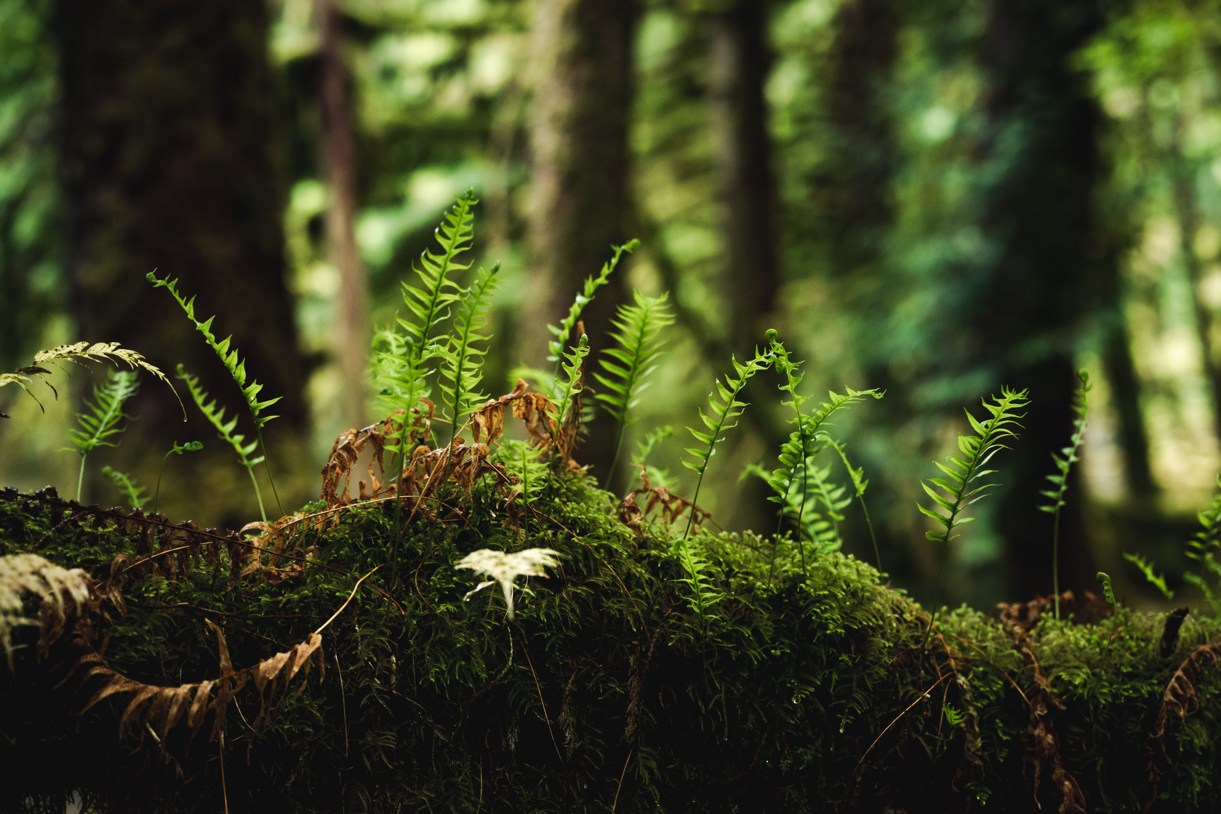
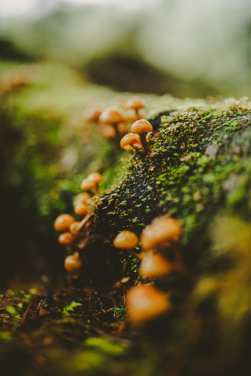
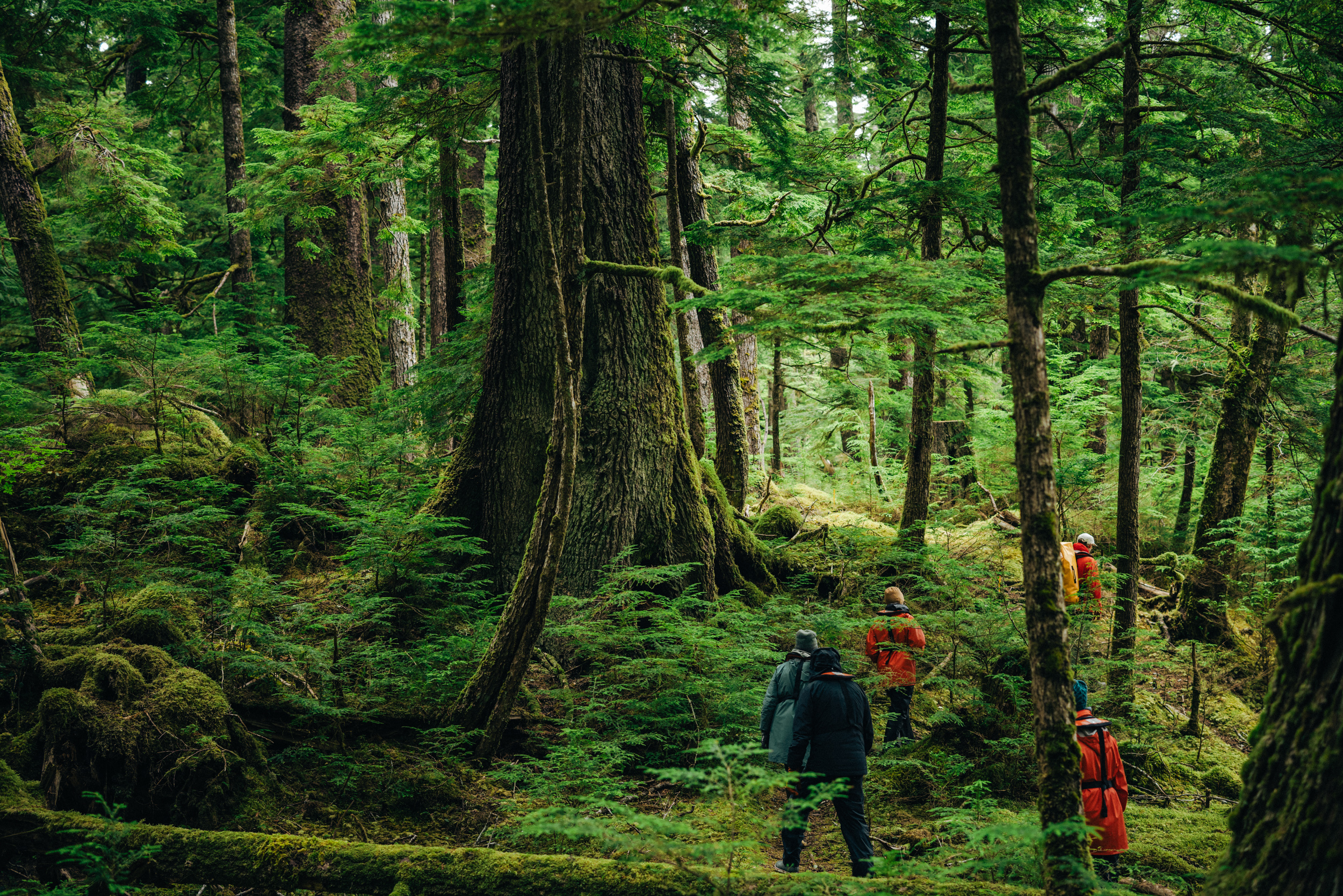
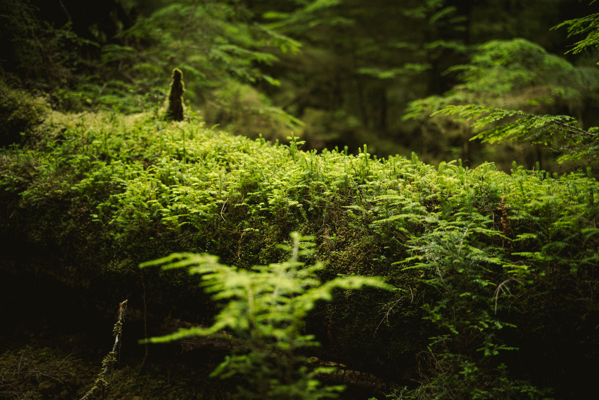
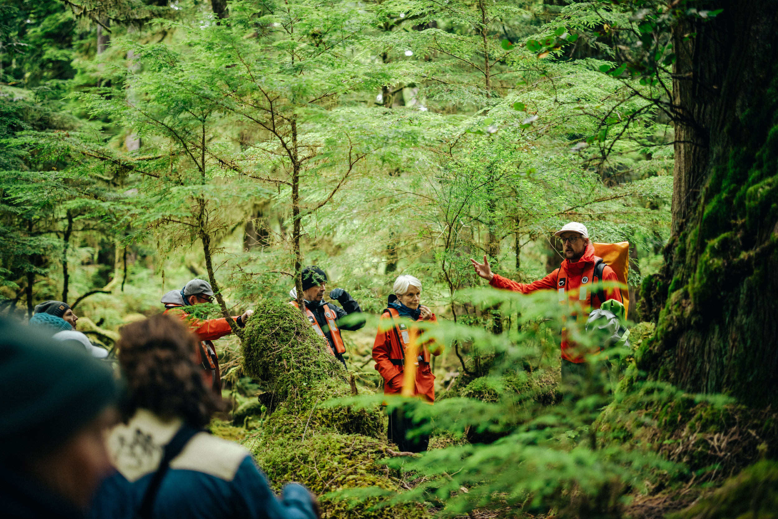
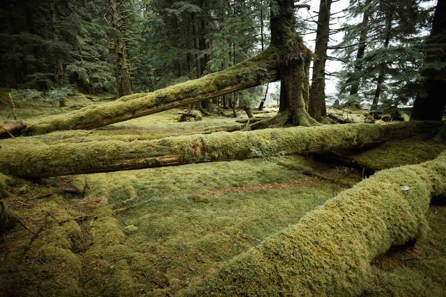
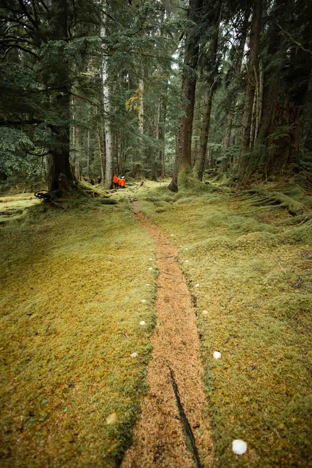
During the expedition, we made several ventures into the moss-covered temperate rainforests that define Haida Gwaii. Living up to their name, these forests delivered persistent downpours—the unrelenting rain that penetrates every seam and poses a constant threat to expensive photography equipment. Following one outing, one of my camera bodies malfunctioned wildly: despite being switched off, it turned itself on and began firing bursts of photos like a possessed demon. Fortunately, spending a few days drying out in Ocean Wayfinder’s heated engine room rescued what could have otherwise been a very costly excursion.
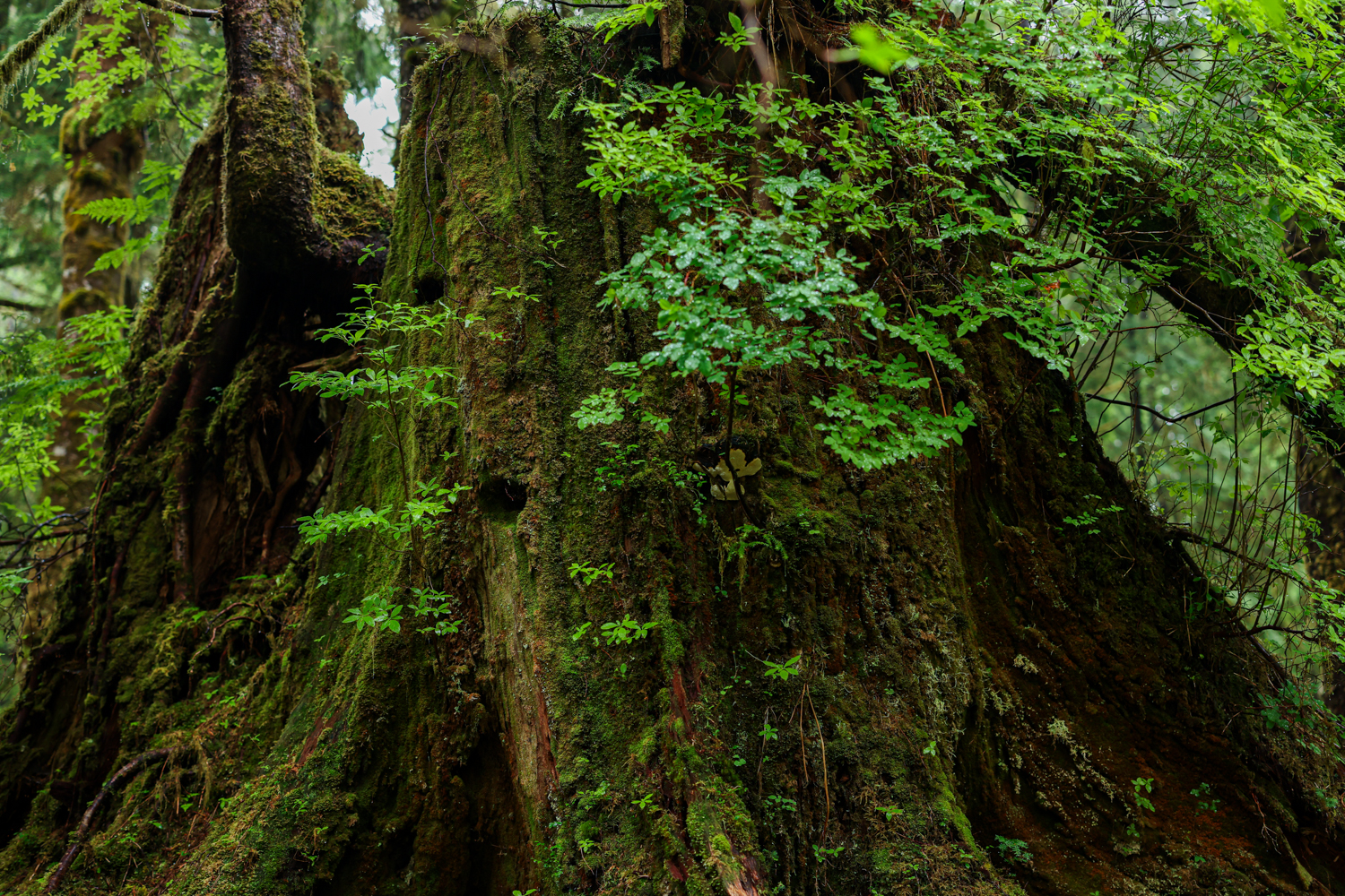
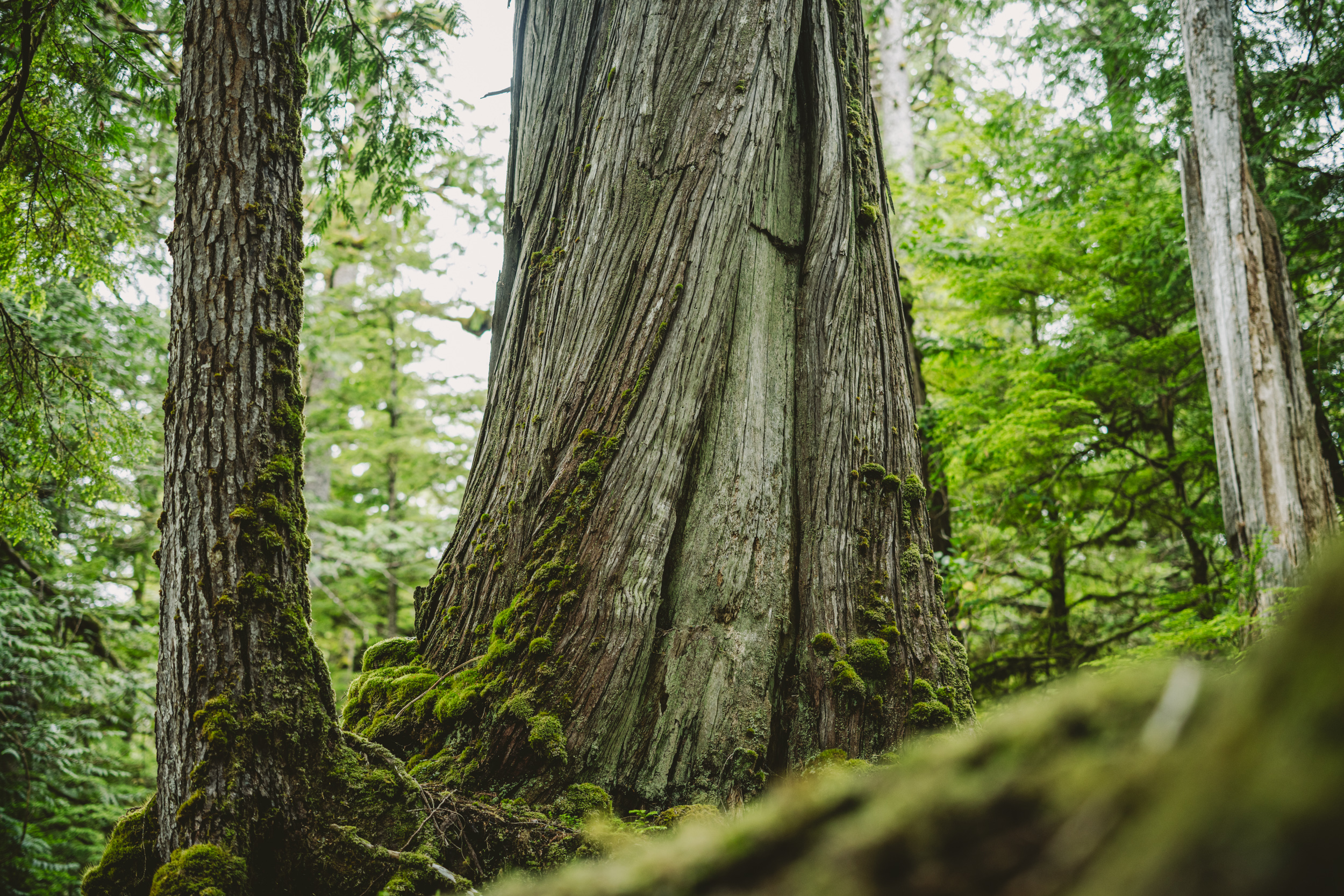
Though many of these old-growth forests initially appear pristine, a closer examination reveals clear traces of human history. From culturally modified cedars—their bark carefully harvested by the Haida to weave clothing, hats, and everyday tools—to the more recent marks left by industrial logging, these lands bear evidence of human presence and use.
When we weighed anchor on the morning of our fifth day, Captain Ashley expressed doubts about whether we could reach Windy Bay, given the marine forecast, challenging access, and heavy exposure. Not every group or ship gets into Windy Bay on a given voyage, so we were thankful when Ocean Wayfinder entered the Hecate and it was better than anticipated.
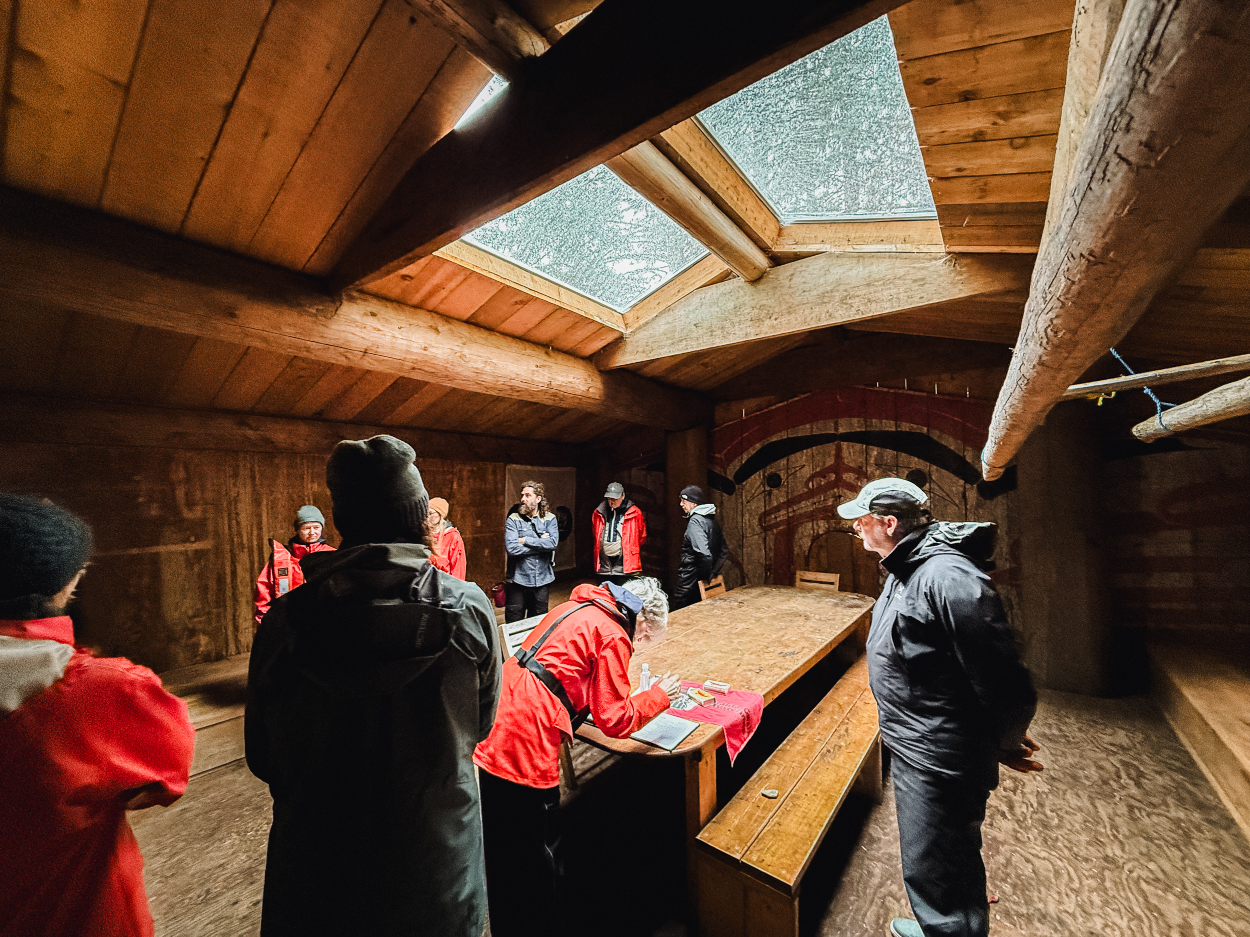
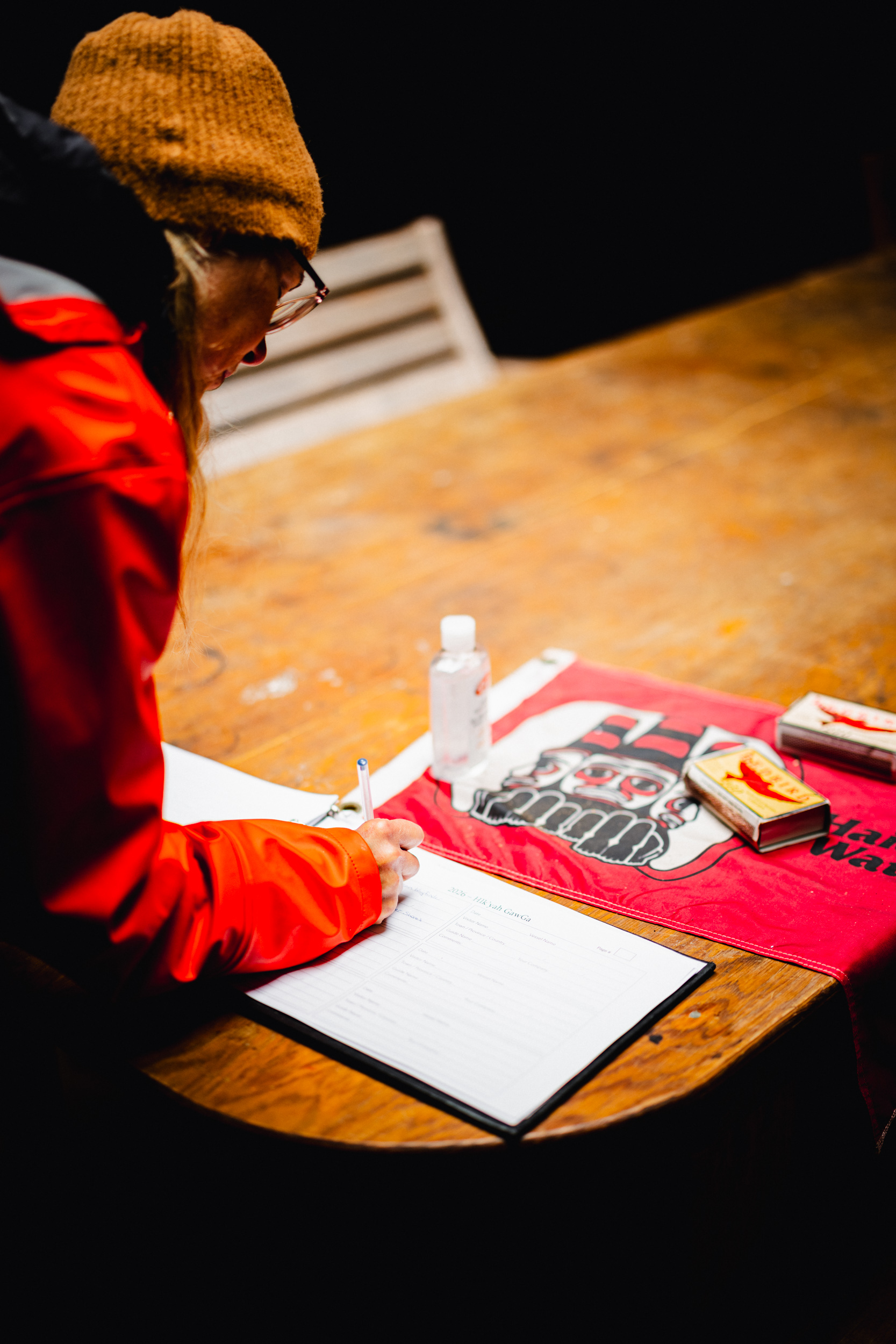
Hardly any place along the coast holds the historical resonance of Windy Bay, or Hlk’yah GawGa, nestled on Lyell Island. It was on these shores in autumn 1985 that the Haida Nation took a monumental stand, as elders and supporters established a blockade across the logging road to halt the destruction of ancient old-growth timber and last untouched watershed on Lyell Island. The resulting arrests made global headlines, ultimately driving the negotiations that birthed Gwaii Haanas National Park Reserve and Haida Heritage Site in 1988—a groundbreaking co-management agreement with Canada. Nearly three decades after those protests, the forty-two-foot Gwaii Haanas Legacy Pole was erected on this exact beach. Carved by Jaalen Edenshaw alongside his brother Gwaai and Tyler York, it marked the first new monumental pole raised in Gwaii Haanas in more than 130 years, honoring those who defended the land.
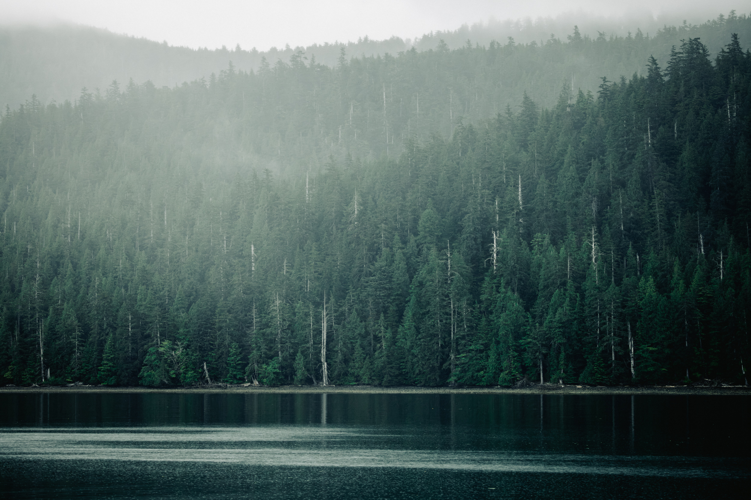
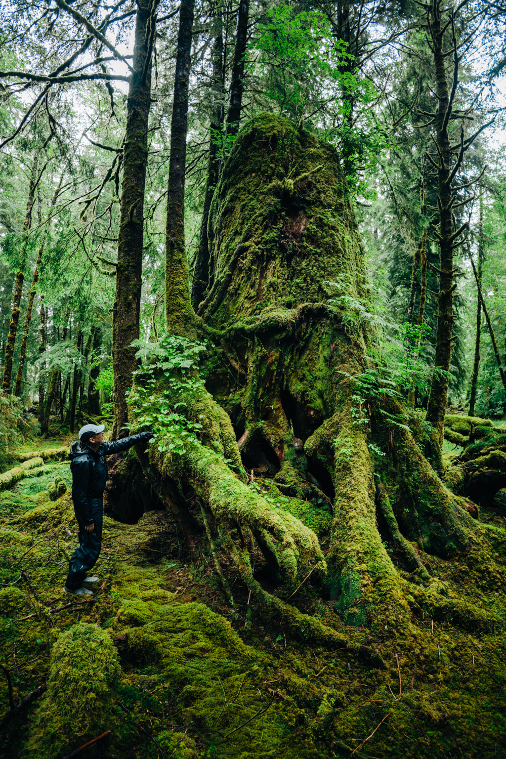
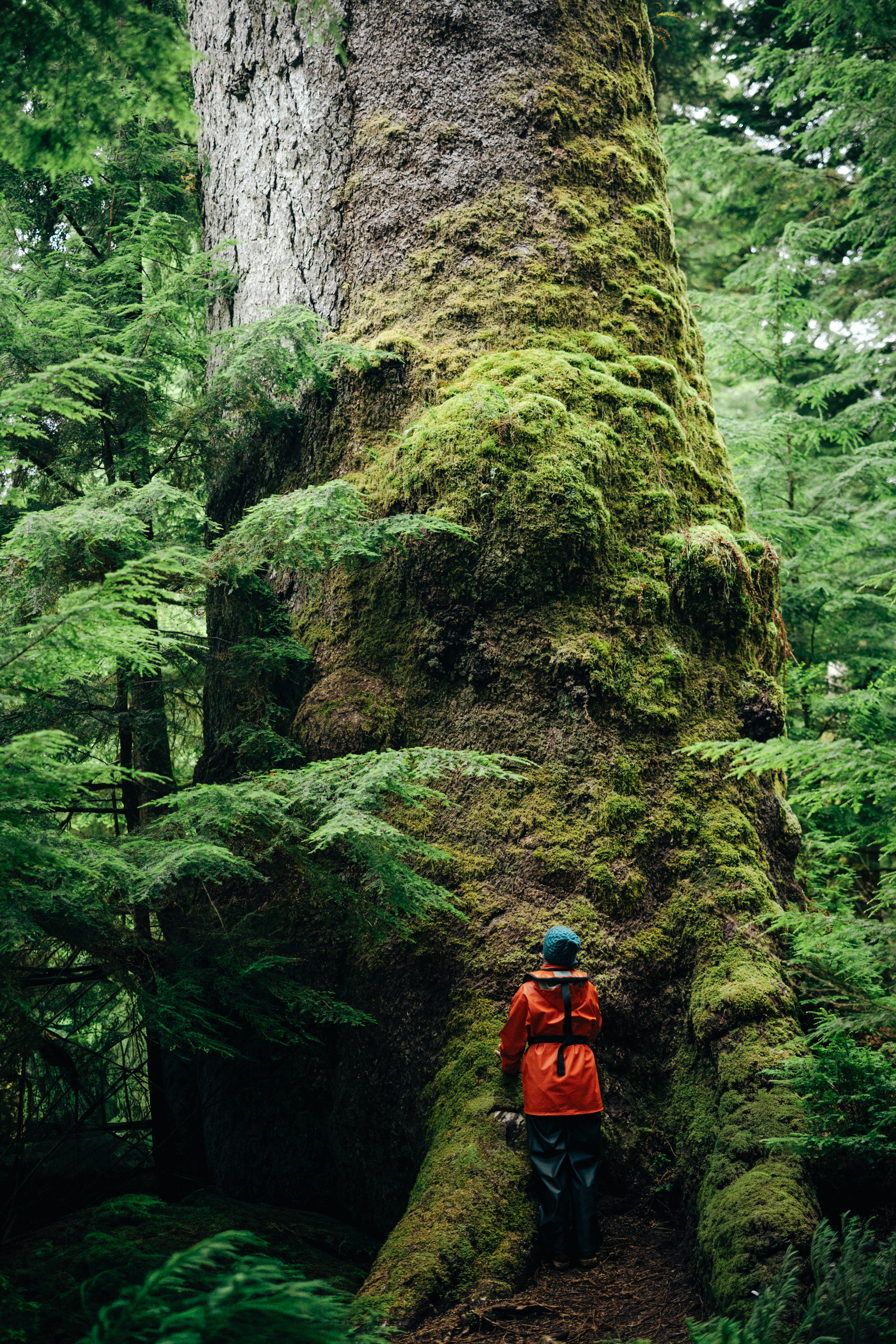
Beyond the Legacy Pole, the most striking feature of Windy Bay is the old-growth Sitka spruce and western red cedar along Windy Bay Creek. Walking beneath the dense canopy here, it is easy to see why the community fought to protect this watershed and preserve these ancient trees. One Sitka spruce in particular has been measured at 18.4ft circumference and estimated to be at least 900 years old.
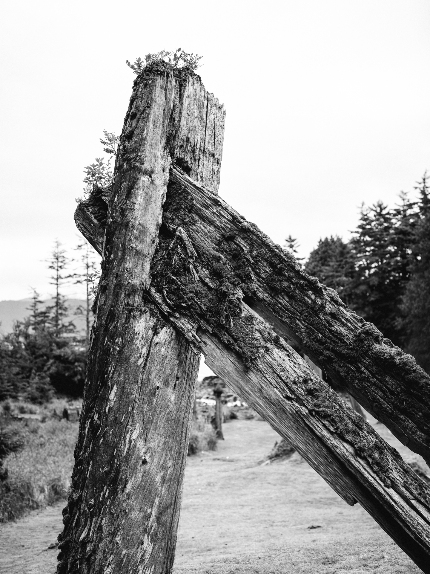
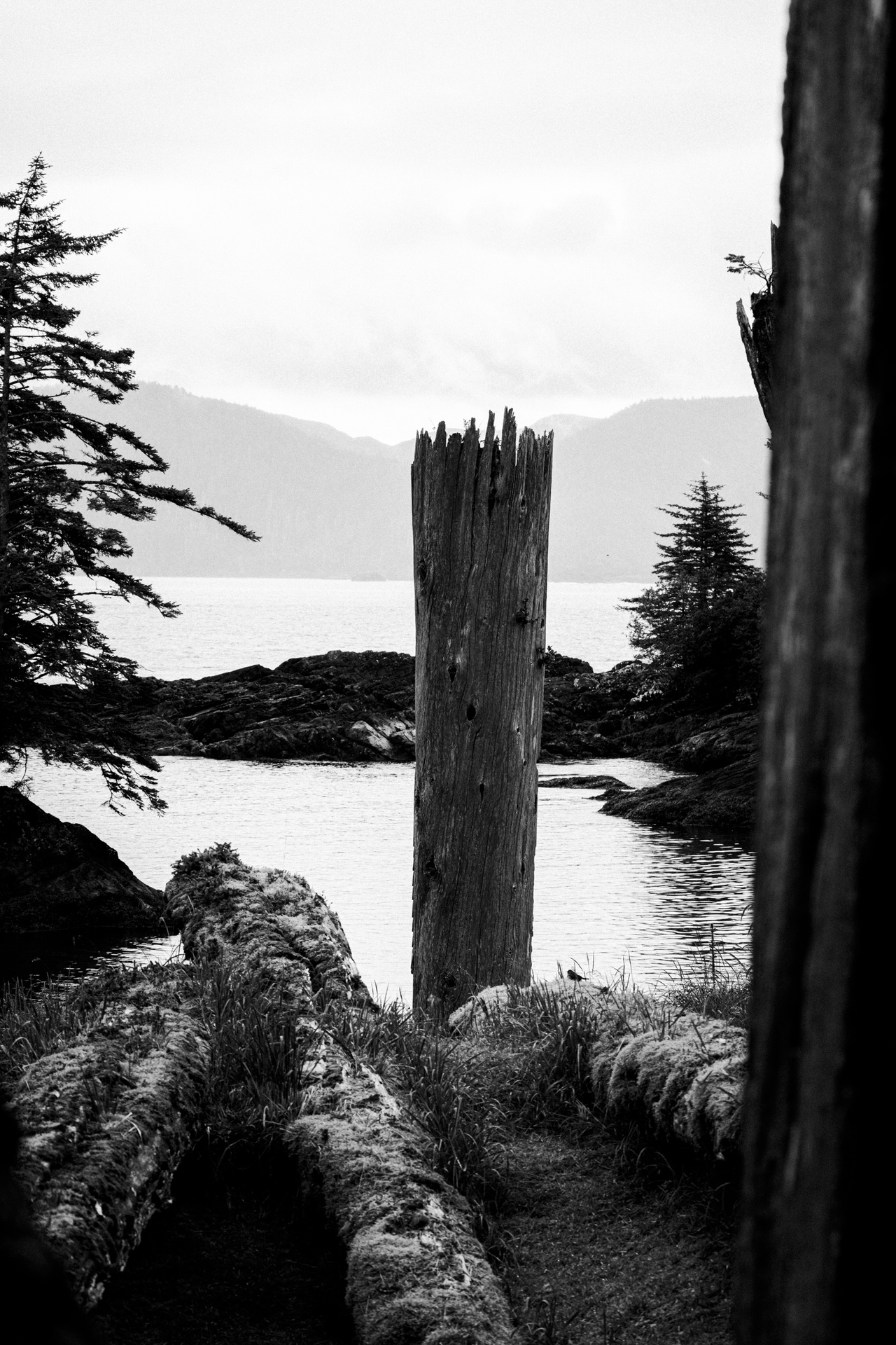
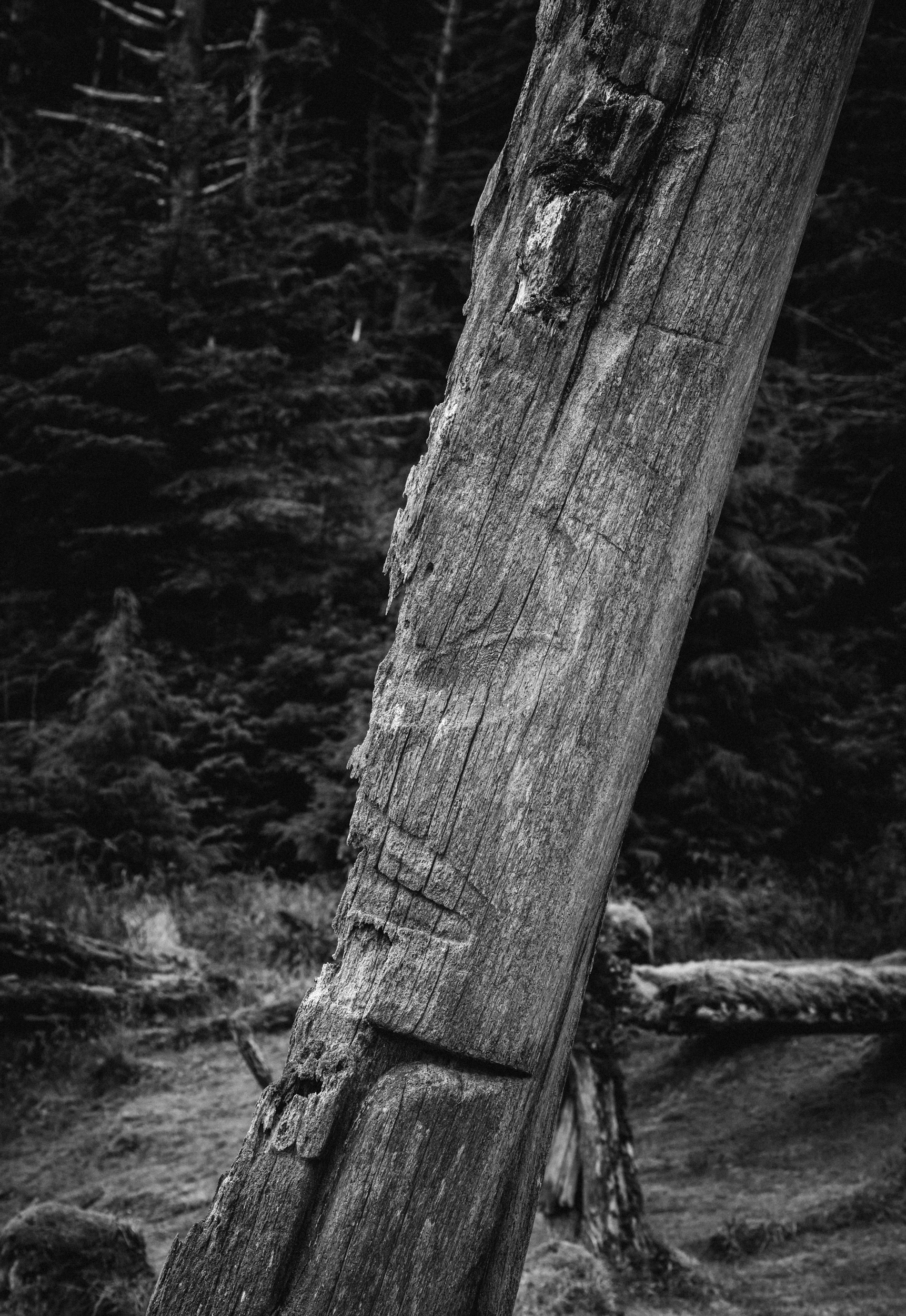
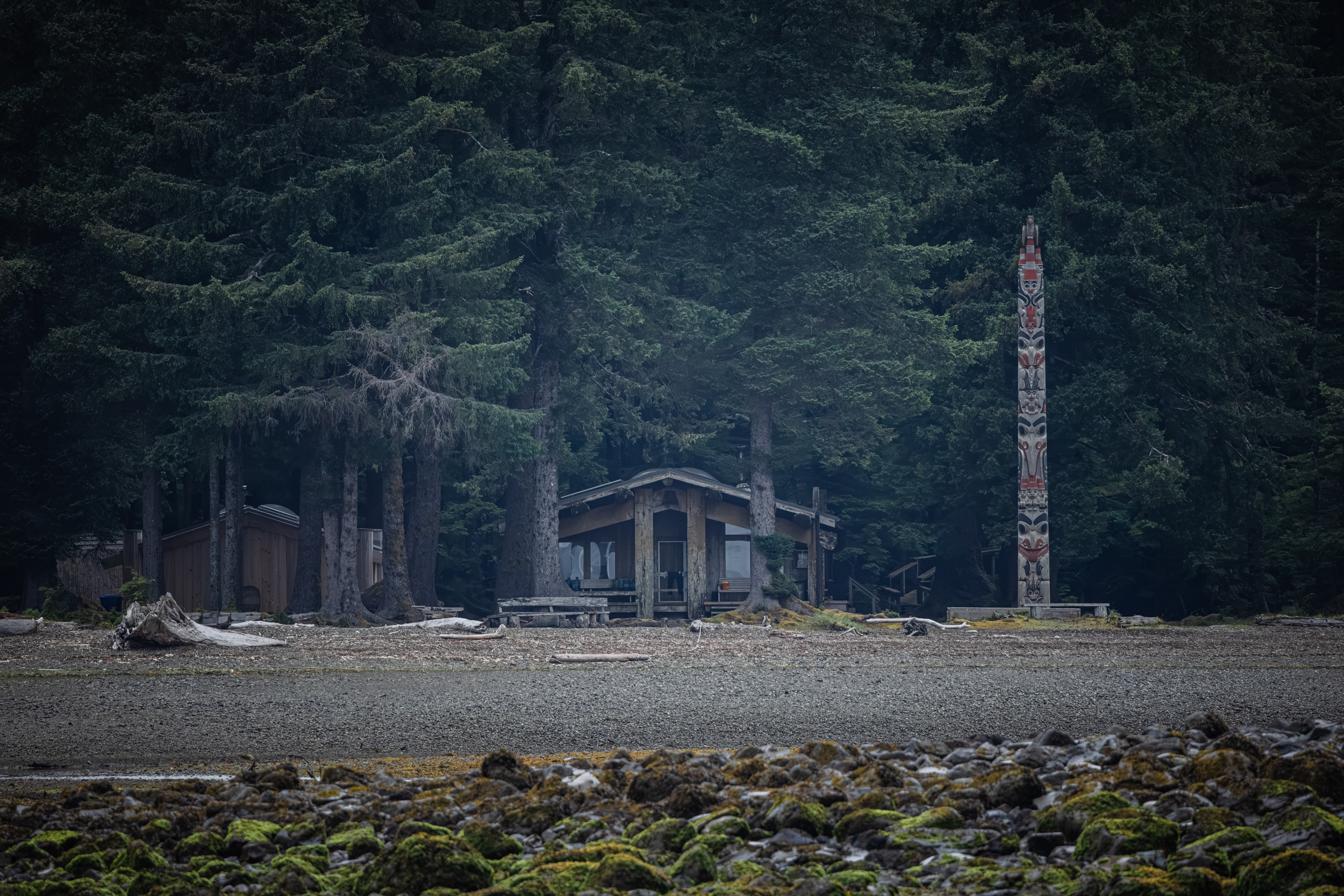
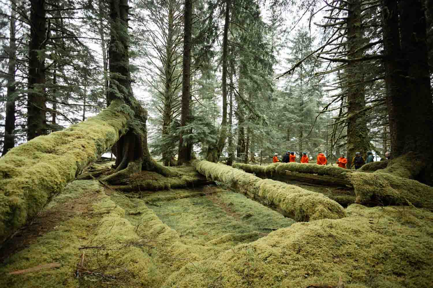
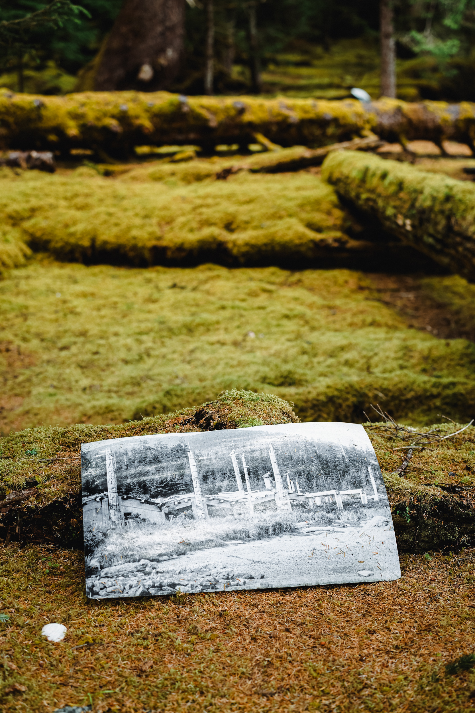
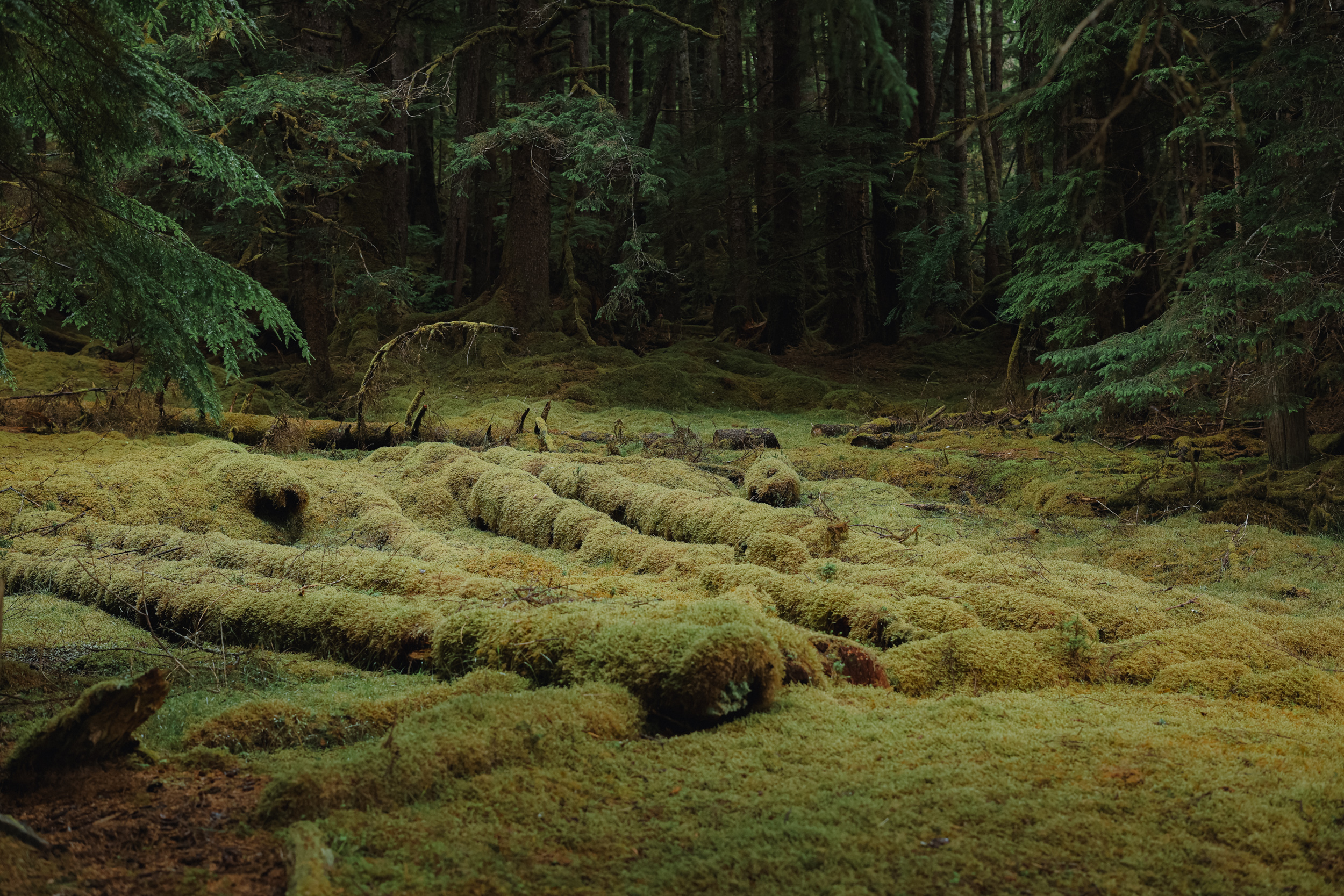
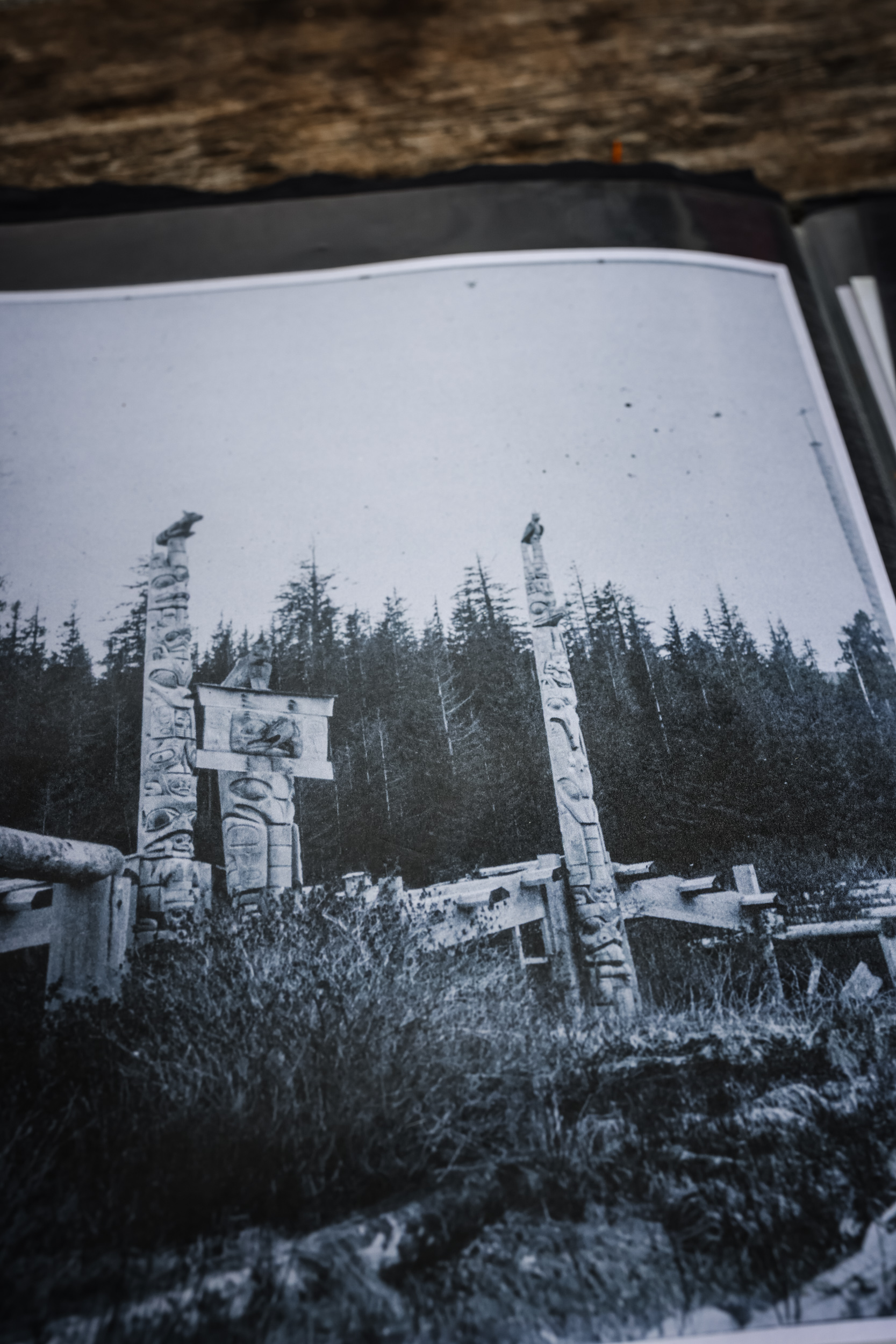
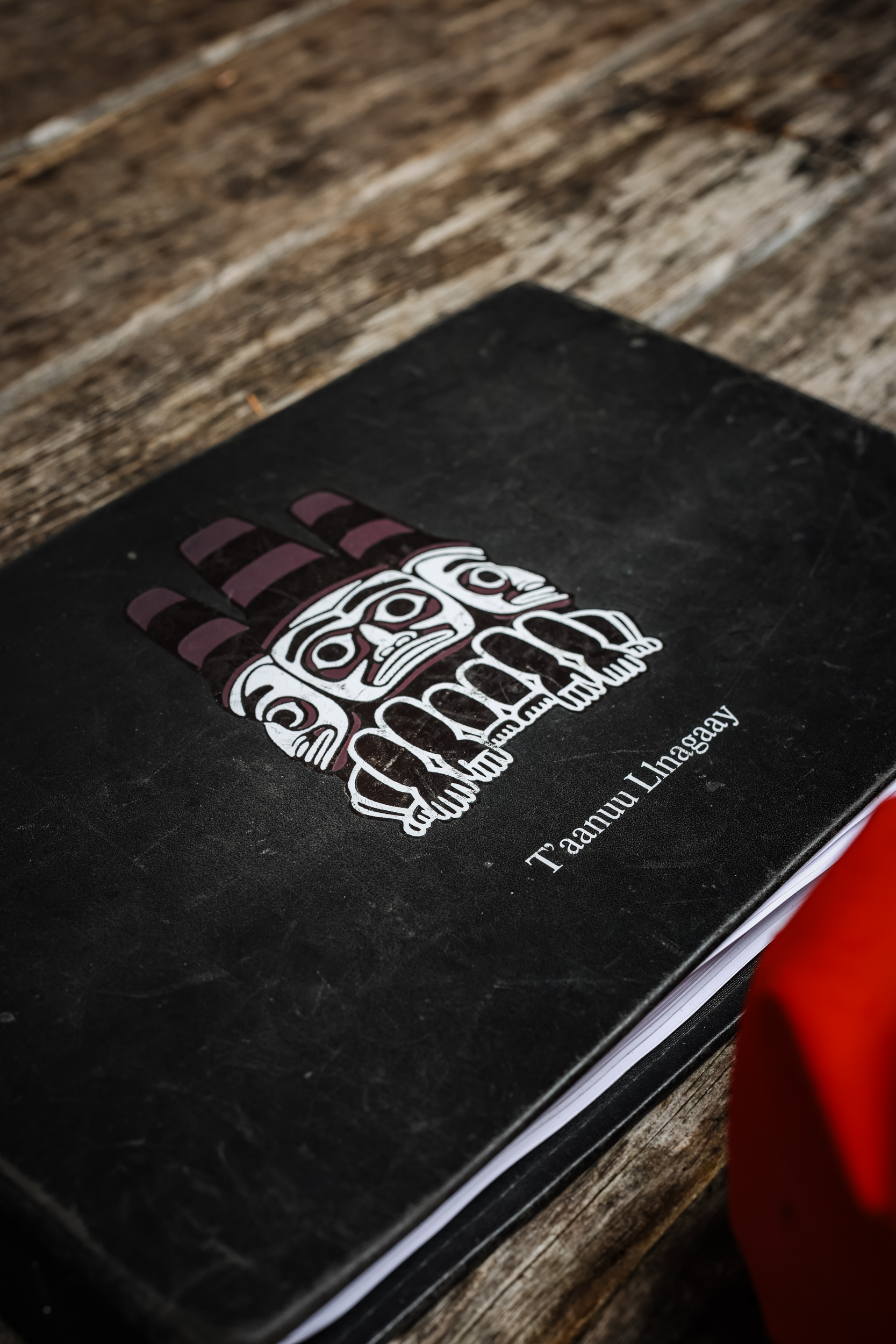
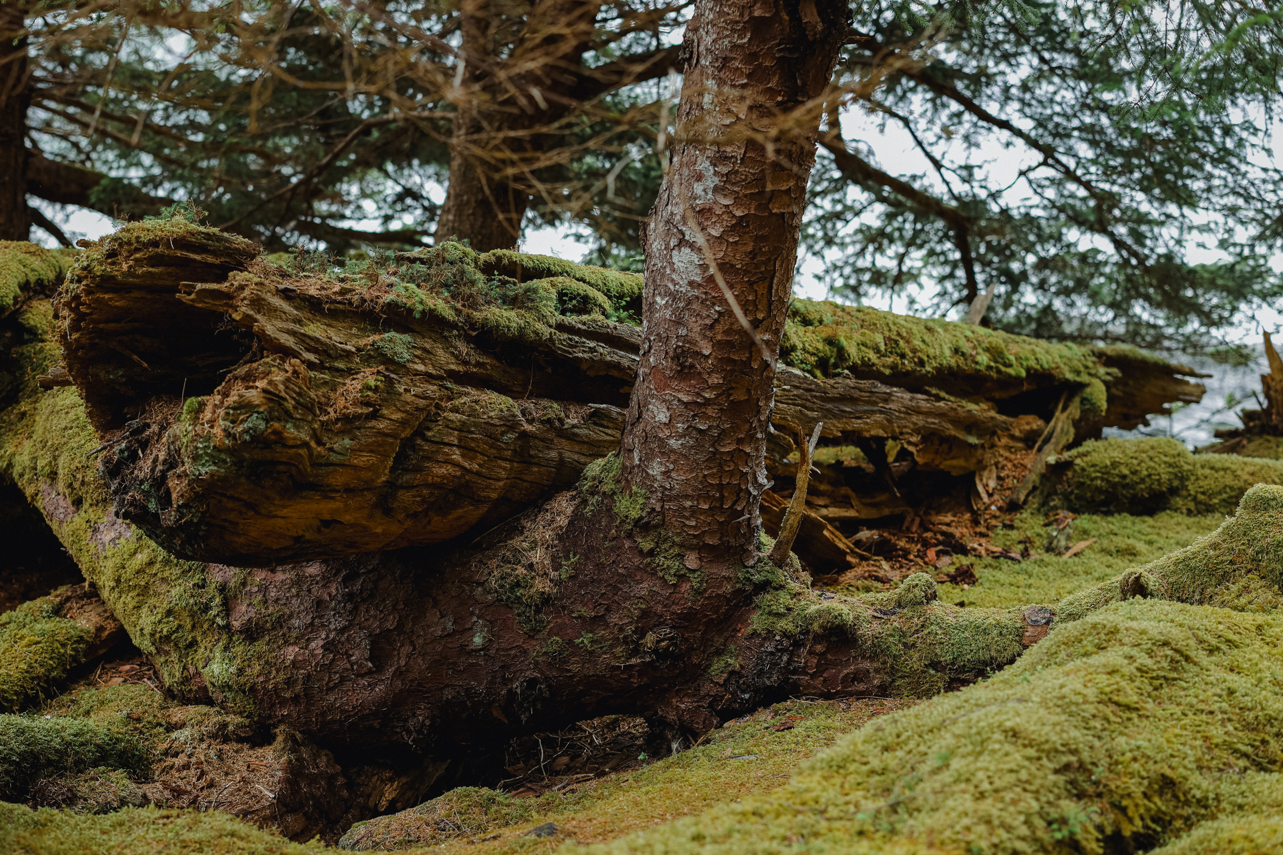
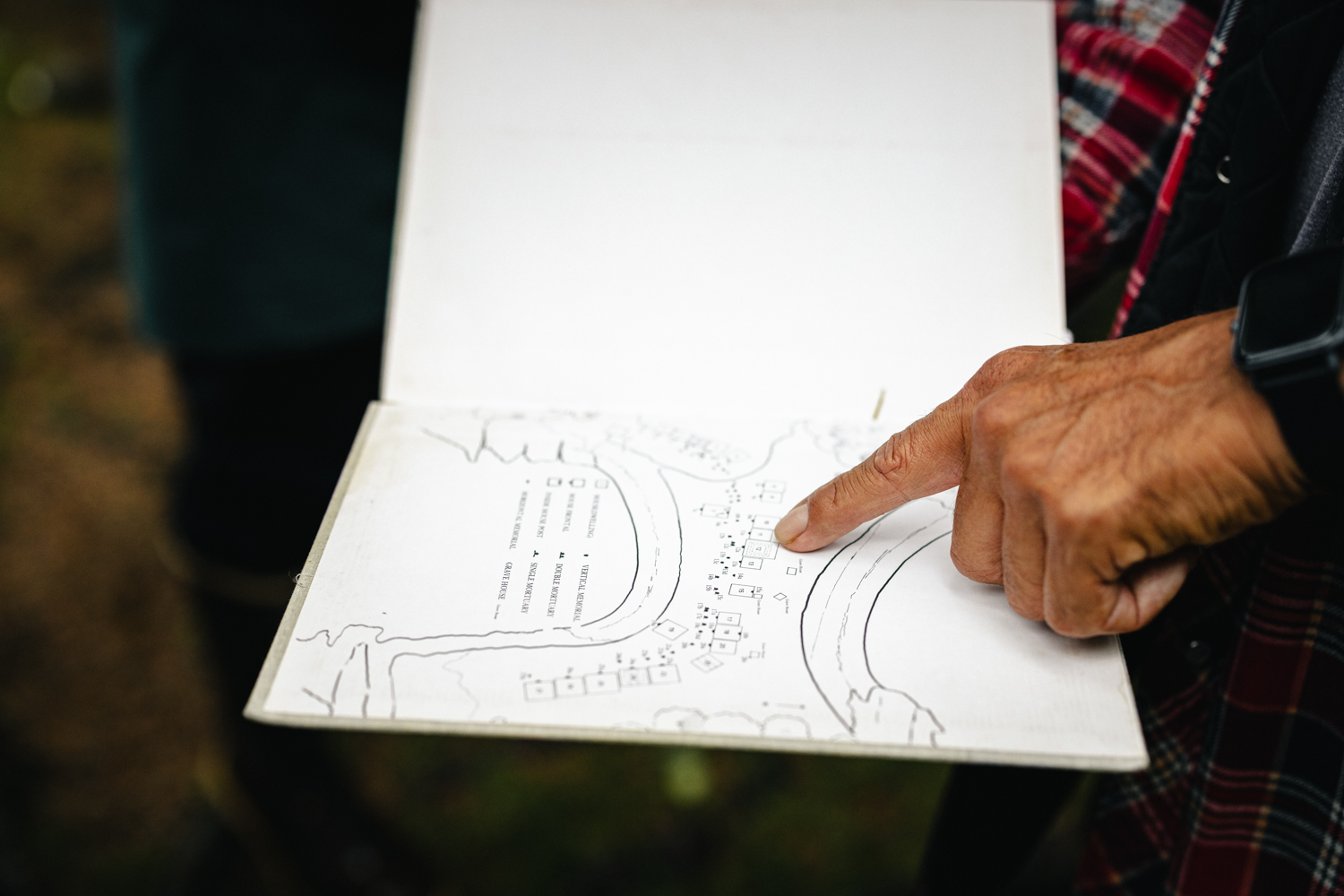
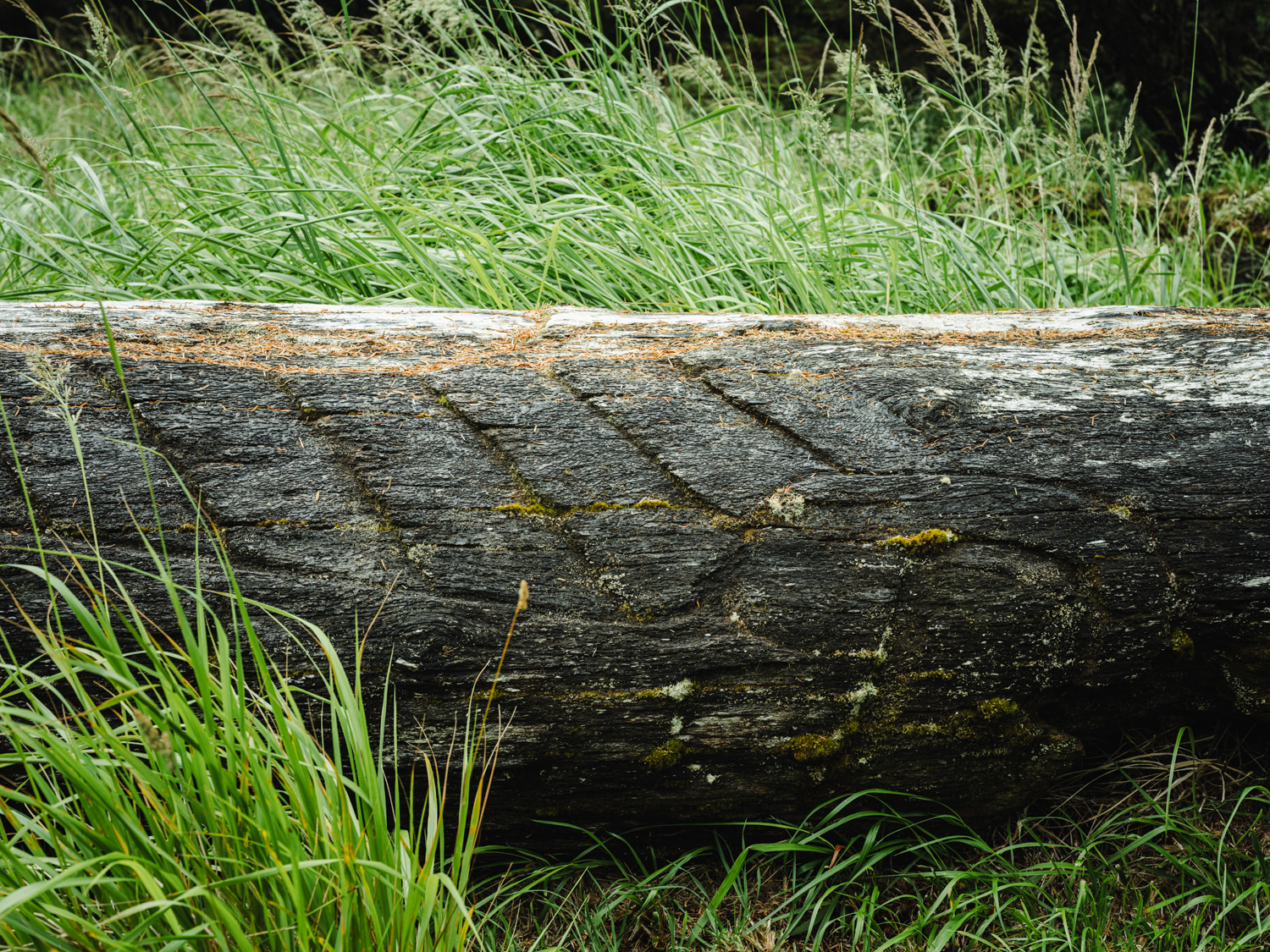
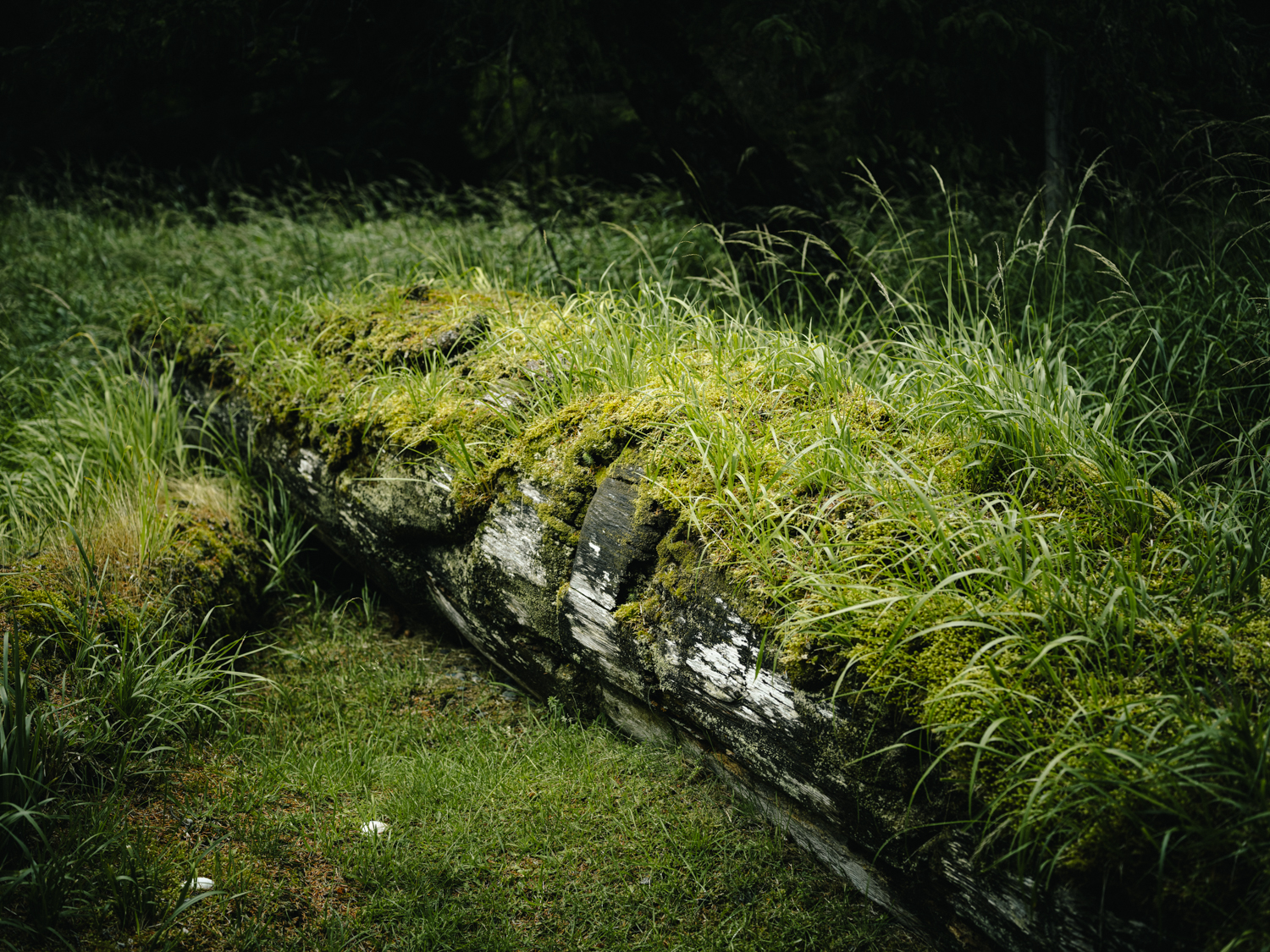
The forest at T’annu (Also spelled Tanu or Tanoo) does not distinguish between a longhouse and a log. T’aanuu Llnagaay — “eelgrass town” — was one of the great villages of Haida Gwaii: some 550 people in twenty-five longhouses in the mid-1800s, thirty-one mortuary columns and fifteen mortuary houses facing the shore. Then the smallpox epidemics came, and the village emptied as survivors consolidated in the north. What remains is what the spruce hasn’t taken yet: longhouse pits sunk into the ground, posts and beams that look like windfall until you look twice, carvings gone smooth with time and furred over with moss. The poles came down one by one—storm, rot, and the Haida way of letting them return to the earth they rose from. Standing among them, you understand this isn’t a ruin being preserved; it’s a place being finished, slowly, on its own terms.
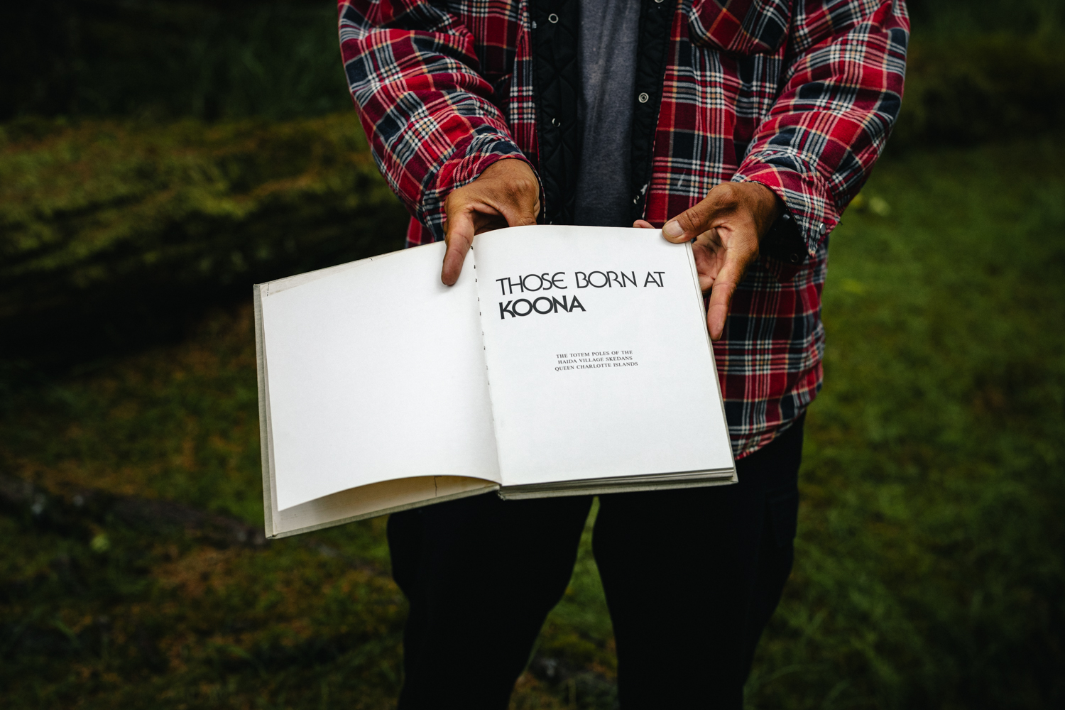
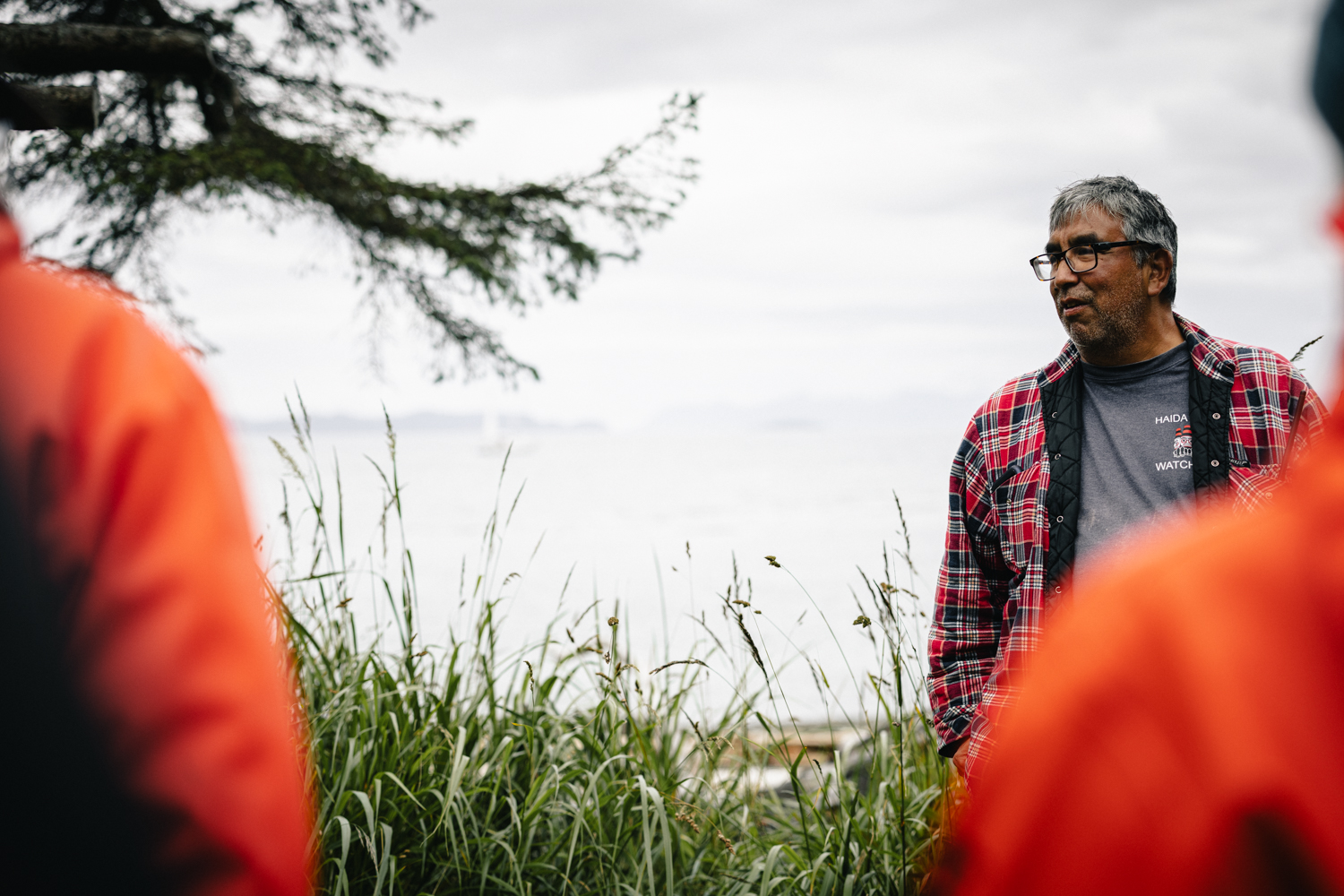
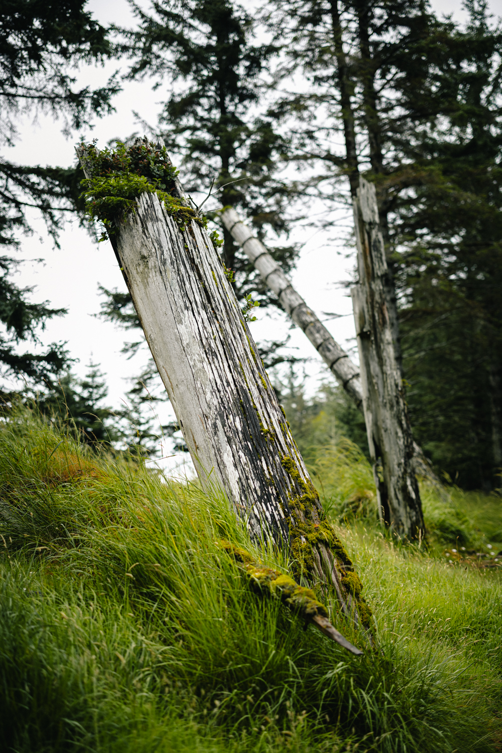
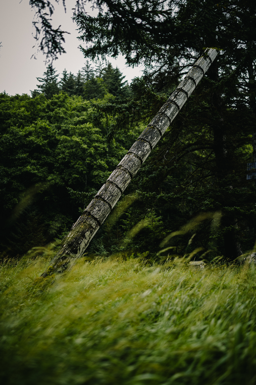
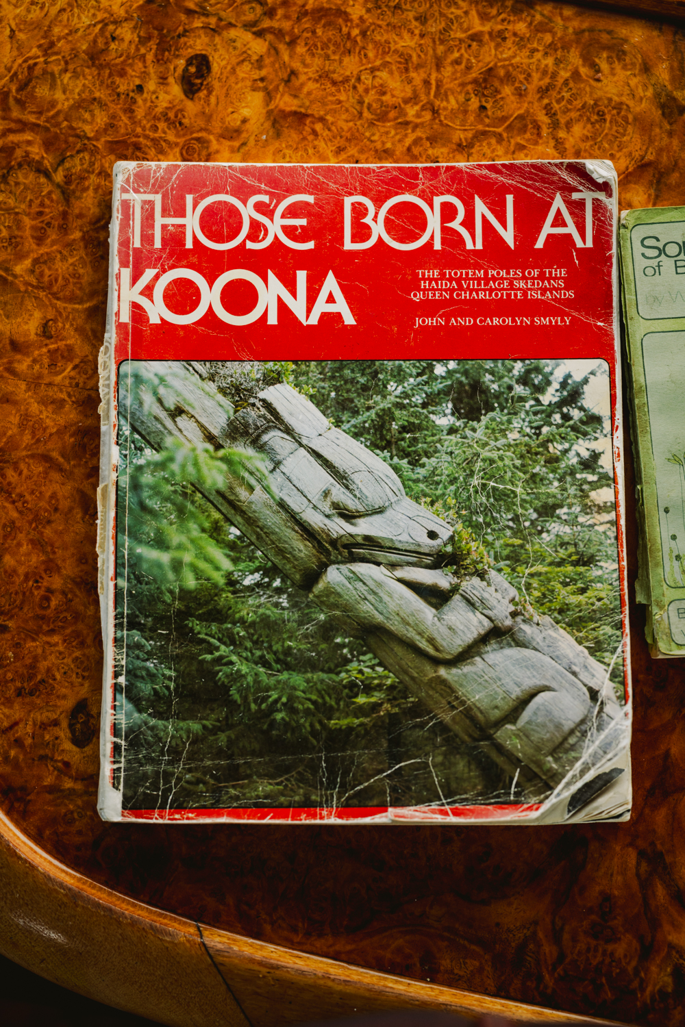
Our second-to-last day brought us to our final Haida Watchmen site: Ḵ’uuna, a village I’d somehow never visited due to either time or weather on all my previous trips. Positioned on the eastern shore of Louise Island, Ḵ’uuna Llnagaay feels wide open and exposed, a stark change from the dense, dark woods wrapping around Tanu. Like Tanu, though, you can still trace the outlines of longhouse pits along the grassy shore and see a few remaining memorial and mortuary poles standing against the sea. In the nineteenth century, this was a thriving community with nearly thirty longhouses and dozens of intricately carved poles. Today, those few remaining carvings lean quietly among the beach grass, slowly silvering in the salt air. Walking the grounds alongside a Watchman who shared stories referenced in “These Born at Koona: The Totem Poles of Haida Skedans,” it felt less like visiting an artifact and more like stepping straight into a living piece of history.
“I had once before visited these three villages, Skedans, Tanoo and Cumshewa. The bitter-sweet of their overwhelming loneliness created a longing to return to them.”
— Emily Carr, “Salt Water,” Klee Wyck (1941)
Eight years is a long time to be away from a place that has given you this much. Fatherhood, marriage, a pandemic, a world that kept accelerating—and then Sandspit, the grey sky, the rain finding every seam of my rain shell (and camera). Ten days aboard the Ocean Wayfinder with a crew that made the Hecate Strait feel a lot safer than it really is: Ashley reading the water, Gwaai reading the poles at SGang Gwaay like family history, the Watchmen at every village practicing the stewardship passed down through time immemorial.
We went looking for the far south and found it—Flatrock Island rising out of the mist, the always remarkable poles of SGang Gwaay, the Legacy Pole standing over Windy Bay, Tanu being finished by the spruce, Koona still legible against the sea. No single image from this trip will encompass it, but that’s never been the point.
What I keep coming back to isn’t a photograph. It’s the Haida way of measuring time—not in news cycles or seasons but in centuries, in poles raised and allowed to fall, in watersheds defended and handed back. I didn’t board the Ocean Wayfinder looking for anything; my life is full and I know it. But Haida Gwaii has a way of recalibrating you without asking permission, of reminding you that stewardship is a long game and that some things—the rain, the poles, the people who watch over them—simply endure. Until next time, and there will be a next time.
Sign up for our newsletter to receive inspirational stories about people working to build a bioregional movement across Salmon Nation.